Enable Location

We need your location to show you interesting places around you

Discover nearby places

Find interesting locations and hidden gems around you

Precise directions

Get accurate directions and distances to places

Your location is never shared with other users. It's only used when you tap the location button.

Carroll County

Log in to your account

Start exploring — it's free

Trusted by 61,981 travelers worldwide

Continue with Google
Continue with Apple
or

We will send you a code to connect

By continuing, you accept our Terms and Conditions and our Privacy Policy

Check your inbox

We've sent a pincode in your inbox. Please enter the code below.

Carroll County, Administrative county in Blue Ridge Mountains, Virginia, US.

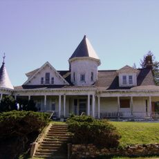
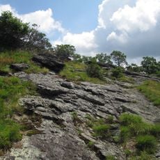
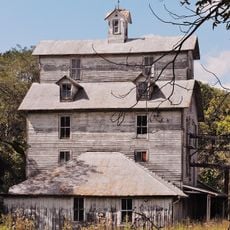
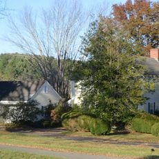
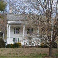
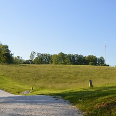
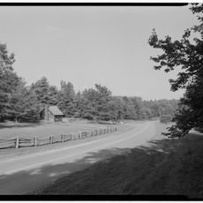
Carroll County is an administrative county in the Blue Ridge Mountains of Virginia, stretching across mountainous terrain with varying elevations and landscape features. The region includes valleys, forested ridges, and open land that shape its character.

The county was established in 1842, created from territory that previously belonged to Grayson County. This formation was part of Virginia's administrative expansion during the 19th century.

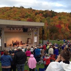
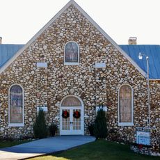
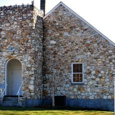
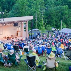
Traditional crafts and music traditions remain active in local communities, shaping how residents connect with their heritage through everyday practices.

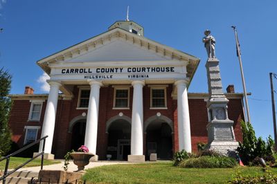
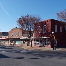
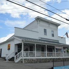
Hillsville serves as the county seat and administrative hub where most government services are located in the Governmental Center. The mountainous terrain means roads wind through the landscape, so travel planning should account for elevation changes.

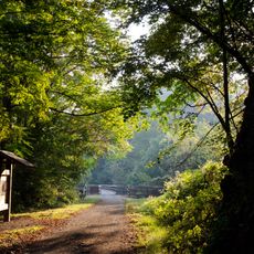
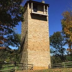
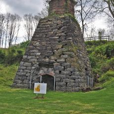
The New River Trail State Park runs through the region, featuring a former railroad line that visitors can now explore by foot or bicycle. This converted rail corridor connects the landscape with industrial heritage in an unusual way.

The community of curious travelers

AroundUs brings together thousands of curated places, local tips, and hidden gems, enriched daily by 60,000 contributors worldwide.

Start exploring
Location
Inception
1842
Capital city
Hillsville
Shares border with
Pulaski County, Galax, Grayson County, Wythe County, Floyd County, Patrick County, Surry County
GPS coordinates
36.73000,-80.73000
Latest update
December 7, 2025 10:07
Around this place
New River Trail State Park
United States of America

New River Trail State Park

20.4 km
Sidna Allen House
United States of America

Sidna Allen House

5.1 km
The Mansion at Fort Chiswell
United States of America

The Mansion at Fort Chiswell

30.2 km
Shot Tower Historical State Park
United States of America

Shot Tower Historical State Park

20.4 km
Buffalo Mountain Natural Area Preserve
United States of America

Buffalo Mountain Natural Area Preserve

23.7 km
Blue Ridge Music Center
United States of America

Blue Ridge Music Center

20.5 km
Foster Falls Historic District
United States of America

Foster Falls Historic District

20.4 km
Graham's Forge Mill
United States of America

Graham's Forge Mill

27.4 km
Buffalo Mountain Presbyterian Church and Cemetery
United States of America

Buffalo Mountain Presbyterian Church and Cemetery

19.7 km
Carroll County Courthouse
United States of America

Carroll County Courthouse

4.1 km
Willis Presbyterian Church and Cemetery
United States of America

Willis Presbyterian Church and Cemetery

26.2 km
Buena Vista Downtown Historic District
United States of America

Buena Vista Downtown Historic District

7.5 km
Maj. David Graham House
United States of America

Maj. David Graham House

24.2 km
Dinwiddie Presbyterian Church and Cemetery
United States of America

Dinwiddie Presbyterian Church and Cemetery

14.8 km
Dr. Virgil Cox House
United States of America

Dr. Virgil Cox House

19.4 km
Gordon C. Felts House
United States of America

Gordon C. Felts House

19.1 km
Galax Commercial Historic District
United States of America

Galax Commercial Historic District

18.5 km
Old Grayson County Courthouse and Clerk's Office
United States of America

Old Grayson County Courthouse and Clerk's Office

22.2 km
Snake Creek Farm Historic District
United States of America

Snake Creek Farm Historic District

7.5 km
A. G. Pless, Jr. House
United States of America

A. G. Pless, Jr. House

16.2 km
Fries Boarding Houses
United States of America

Fries Boarding Houses

22.2 km
Hillsville Historic District
United States of America

Hillsville Historic District

4 km
Groundhog Mountain Tower
United States of America

Groundhog Mountain Tower

20.3 km
Jackson Ferry Shot Tower
United States of America

Jackson Ferry Shot Tower

20 km
Laurel Hill Farm
United States of America

Laurel Hill Farm

24.3 km
Blue Ridge Music Center Amphitheater
United States of America

Blue Ridge Music Center Amphitheater

20.6 km
Puckett Cabin
United States of America

Puckett Cabin

19 km
Draper Historic District
United States of America

Draper Historic District

30.3 km
Show the full map
Administrative divisions
« Carroll County - Administrative county in Blue Ridge Mountains, Virginia, US » is provided by Around Us (aroundus.com). Images and texts are derived from Wikimedia project under a Creative Commons license. You are allowed to copy, distribute, and modify copies of this page, under the conditions set by the license, as long as this note is clearly visible.

Discover hidden gems everywhere you go!

From secret cafés to breathtaking viewpoints, skip the crowded tourist spots and find places that match your style. Our app makes it easy with voice search, smart filtering, route optimization, and insider tips from travelers worldwide. Download now for the complete mobile experience.

Around Us App Screenshot

A unique approach to discovering new places

Le Figaro

All the places worth exploring

France Info

A tailor-made excursion in just a few clicks

20 Minutes

Around Us
Travel Guide & Maps
Download

Send to your phone

QR Code
1

Open the camera app on your mobile.

2

Point at the QR code with your camera. A notification will appear.

3

Tap the notification to open the link.