Union County

Log in to your account

AroundUs is a community-driven map of interesting places, built by curious explorers like you. It grows with every review, story, and photo you share.
Connect to save your favorite spots, contribute locations, and create personalized routes.
Continue with Google
Continue with Apple
Continue with X
Continue with Facebook
Continue with email
By continuing, you accept our Terms and Conditions and our Privacy Policy
Create an account
Add to collection
Map
Suggest a change
Share

Union County, County in central Ohio, United States

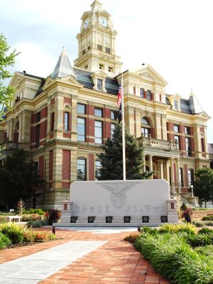
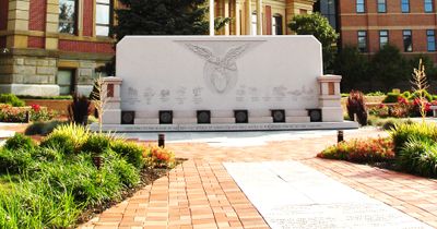
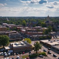
Union County in central Ohio combines rural farmland with small towns and urban areas, with Marysville serving as the administrative center. The city houses government buildings and public facilities that handle administrative functions for the entire county.

Established in 1820, the county was created from parts of Franklin, Delaware, Madison, and Logan County under Col. James Curry's leadership. This founding reflected the territorial reorganization happening across central Ohio at that time.

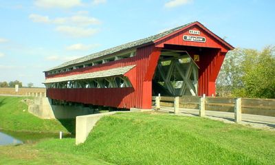
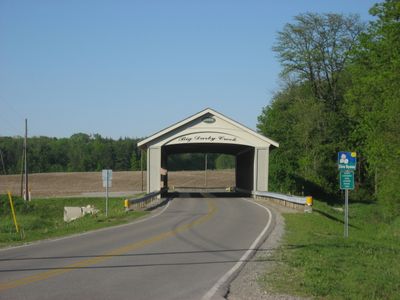
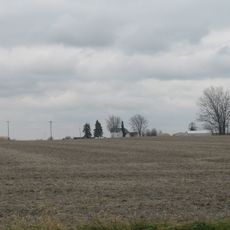
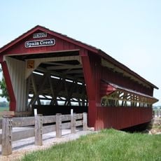
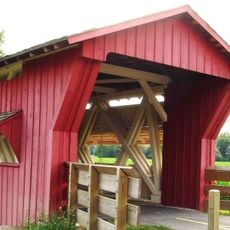
Agricultural fairs, farmers markets, and seasonal celebrations bring together communities across the county and show how rural and urban residents share common traditions. These gatherings reveal the strong connection people maintain with farming heritage and local traditions.

Government offices in Marysville handle property records, taxes, and public documents that residents need to access. It's a good idea to call ahead or check the county website to confirm department hours and locations before visiting.

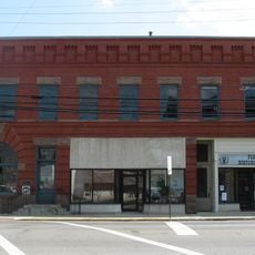
During the 1800s, a pearlash factory in Marysville ranked among the largest producers of this wood-based chemical in the United States. This industrial past reveals the region's importance beyond farming and demonstrates its role in early American manufacturing.

Location: Ohio

Inception: January 10, 1820

Capital city: Marysville

Reference: UNI

Shares border with: Marion County, Madison County, Delaware County, Franklin County, Hardin County, Champaign County, Logan County

Website: http://co.union.oh.us

GPS coordinates: 40.31000,-83.37000

Latest update: December 22, 2025 10:11

Photos
Around this place
United States of America

Bharatiya Hindu Temple

24.7 km
Ellis Mounds
United States of America

Ellis Mounds

3.1 km
Farmers National Bank
United States of America

Farmers National Bank

24.2 km
Bigelow Bridge
United States of America

Bigelow Bridge

22.1 km
Elmwood Place
United States of America

Elmwood Place

23.4 km
Austin Hall
United States of America

Austin Hall

24.9 km
The Fort
United States of America

The Fort

17.6 km
Ohio Reformatory for Women
United States of America

Ohio Reformatory for Women

10 km
United States of America

Marysville Historic District

8.1 km
Spain Creek Covered Bridge
United States of America

Spain Creek Covered Bridge

15.8 km
David Marshall House
United States of America

David Marshall House

27.2 km
Pottersburg Covered Bridge
United States of America

Pottersburg Covered Bridge

15.5 km
Company E, 30th Ohio Volunteer Infantry
United States of America

Company E, 30th Ohio Volunteer Infantry

22.9 km
Flatwoods Schoolhouse
United States of America

Flatwoods Schoolhouse

18.4 km
Universalist Church
United States of America

Universalist Church

20.3 km
Lucy Depp Park & The Depp Settlement
United States of America

Lucy Depp Park & The Depp Settlement

25.2 km
United States of America

Mill Creek Golf Club

15.8 km
United States of America

Timberview Golf Club

10.2 km
United States of America

Hidden Valley Golf Course

24 km
United States of America

Oakhaven Golf Club

24.8 km
United States of America

Scioto Reserve Country Club

24.2 km
United States of America

Darby Creek Golf Course

15.9 km
United States of America

Marysville Golf Club

12.2 km
United States of America

Rolling Meadows

18.1 km
United States of America

The Club at Tartan Fields

24.6 km
United States of America

Labyrinth Maze

23 km
United States of America

The MAiZE

21.4 km
United States of America

Twin cannons

8.3 km
Show the full map
Reviews

Visited this place? Tap the stars to rate it and share your experience / photos with the community! Try now! You can cancel it anytime.

Administrative divisions
« Union County - County in central Ohio, United States » is provided by Around Us (aroundus.com). Images and texts are derived from Wikimedia project under a Creative Commons license. You are allowed to copy, distribute, and modify copies of this page, under the conditions set by the license, as long as this note is clearly visible.

Discover hidden gems everywhere you go!

From secret cafés to breathtaking viewpoints, skip the crowded tourist spots and find places that match your style. Our app makes it easy with voice search, smart filtering, route optimization, and insider tips from travelers worldwide. Download now for the complete mobile experience.

Around Us App Screenshot

A unique approach to discovering new places

Le Figaro

All the places worth exploring

France Info

A tailor-made excursion in just a few clicks

20 Minutes