Enable Location

We need your location to show you interesting places around you

Discover nearby places

Find interesting locations and hidden gems around you

Precise directions

Get accurate directions and distances to places

Your location is never shared with other users. It's only used when you tap the location button.

Dixon County

Log in to your account

Start exploring — it's free

Trusted by 63,738 travelers worldwide

Continue with Google
Continue with Apple
or

We will send you a code to connect

By continuing, you accept our Terms and Conditions and our Privacy Policy

Check your inbox

We've sent a pincode in your inbox. Please enter the code below.

Discussion Reviews 1 Photos
7.9k Popularity

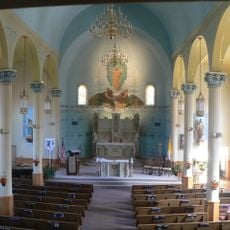
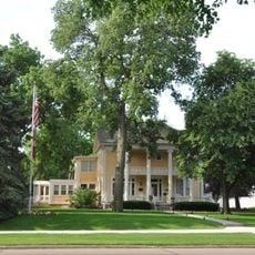
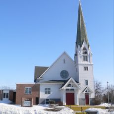
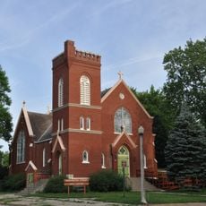
Dixon County, County in northeastern Nebraska, United States

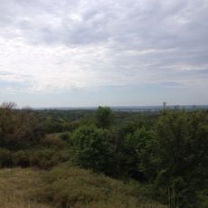
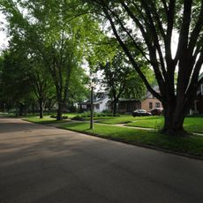
Dixon County is an administrative division in northeastern Nebraska that encompasses prairie landscapes, farmland, and areas bordering the Missouri River. The terrain features rolling hills that extend throughout the region.

The county was established in 1856 by the territorial legislature, with Ponca designated as its administrative center. Formal county operations began in 1858 after local government structures were put in place.

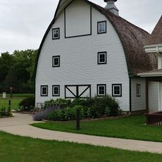
Farming shapes daily life here, with families growing corn and soybeans and raising livestock across the open land. This agricultural way of living has defined the community for many generations.

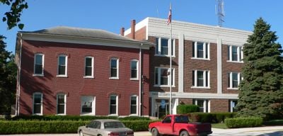
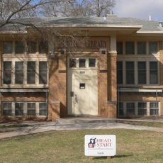
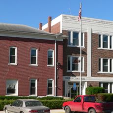
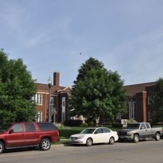
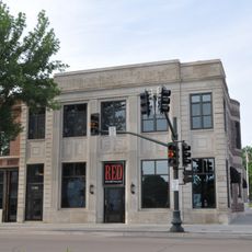
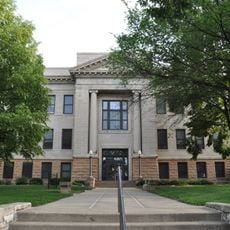
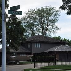
Most visitors find the county courthouse in Ponca, where administrative services like property records and certifications are handled. The best way to get around is by driving on the main roads that connect the small towns.

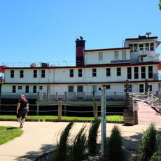
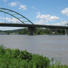
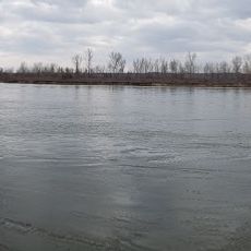
The county forms an important border point with South Dakota, with the Missouri River marking the boundary that shapes the region. This location made the area a crossing point for early settlers and trade routes.

The community of curious travelers

AroundUs brings together thousands of curated places, local tips, and hidden gems, enriched daily by 60,000 contributors worldwide.

Start exploring
Location
Inception
1856
Capital city
Ponca
Shares border with
Clay County, Union County, Cedar County, Wayne County, Thurston County, Dakota County
GPS coordinates
42.50000,-96.87000
Latest update
December 10, 2025 16:03
Around this place
National Music Museum
United States of America

National Music Museum

31.8 km
Stone State Park
United States of America

Stone State Park

33.5 km
Great Northern Railway 1355
United States of America

Great Northern Railway 1355

32.4 km
Sergeant Floyd
United States of America

Sergeant Floyd

37.1 km
Siouxland Veterans Memorial Bridge
United States of America

Siouxland Veterans Memorial Bridge

37.5 km
St. Boniface Catholic Church
United States of America

St. Boniface Catholic Church

37.1 km
Theophile Bruguier Cabin
United States of America

Theophile Bruguier Cabin

32.4 km
St. Peter's Catholic Church
United States of America

St. Peter's Catholic Church

27.9 km
Inman House
United States of America

Inman House

31.4 km
Swedish Evangelical Lutheran Salem Church
United States of America

Swedish Evangelical Lutheran Salem Church

25.9 km
St. Agnes Catholic Church
United States of America

St. Agnes Catholic Church

31.8 km
Sioux City Public Library
United States of America

Sioux City Public Library

36.3 km
First Baptist Church of Vermillion
United States of America

First Baptist Church of Vermillion

31.4 km
Dixon County Courthouse
United States of America

Dixon County Courthouse

15 km
Cook Blacksmith Shop
United States of America

Cook Blacksmith Shop

15 km
First Methodist Episcopal Church
United States of America

First Methodist Episcopal Church

31.5 km
Austin–Whittemore House
United States of America

Austin–Whittemore House

31.5 km
Downtown Vermillion Historic District
United States of America

Downtown Vermillion Historic District

31.5 km
Ponca Historic District
United States of America

Ponca Historic District

15.1 km
First National Bank Building of Vermillion
United States of America

First National Bank Building of Vermillion

31.5 km
Clay County Courthouse
United States of America

Clay County Courthouse

31.6 km
Sergent Floyd River Museum
United States of America

Sergent Floyd River Museum

37.1 km
Adams Homestead and Nature Preserve
United States of America

Adams Homestead and Nature Preserve

27.6 km
Linden House
United States of America

Linden House

30.8 km
Bridge
United States of America

Bridge

37.5 km
St. Boniface Historic District
United States of America

St. Boniface Historic District

37.1 km
Forest Avenue Historic District
United States of America

Forest Avenue Historic District

31.2 km
Clay County Park
United States of America

Clay County Park

32.4 km
Show the full map
Reviews
Share your experience

No review yet

Discussions
Start a discussion...

No discussion yet

Administrative divisions
« Dixon County - County in northeastern Nebraska, United States » is provided by Around Us (aroundus.com). Images and texts are derived from Wikimedia project under a Creative Commons license. You are allowed to copy, distribute, and modify copies of this page, under the conditions set by the license, as long as this note is clearly visible.

Discover hidden gems everywhere you go!

From secret cafés to breathtaking viewpoints, skip the crowded tourist spots and find places that match your style. Our app makes it easy with voice search, smart filtering, route optimization, and insider tips from travelers worldwide. Download now for the complete mobile experience.

Around Us App Screenshot

A unique approach to discovering new places

Le Figaro

All the places worth exploring

France Info

A tailor-made excursion in just a few clicks

20 Minutes

Around Us
Travel Guide & Maps
Download

Send to your phone

QR Code
1

Open the camera app on your mobile.

2

Point at the QR code with your camera. A notification will appear.

3

Tap the notification to open the link.