
Cedar County, Administrative region in eastern Nebraska, United States.
Cedar County spans 746 square miles of land with agricultural fields, small communities, and the Missouri River forming its northern boundary point.
The region received its official designation as Cedar County in 1855, taking its name from the numerous cedar trees that populated the territory.
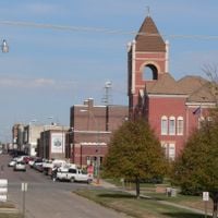
The county seat of Hartington functions as the central point for community gatherings, administrative services, and local government operations.
Major transportation routes include U.S. Highway 20 and U.S. Highway 81, connecting residents to neighboring counties and South Dakota across the Missouri River.
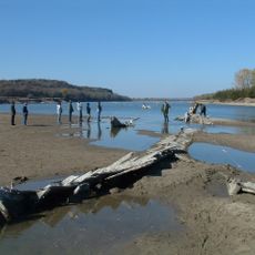
The Audubon Bend Wildlife Area within Cedar County provides natural habitats for native species along the Missouri National Recreational River system.
Location: Nebraska
Inception: 1855
Capital city: Hartington
Shares border with: Clay County, Yankton County, Wayne County, Knox County, Pierce County, Dixon County
Website: http://co.cedar.ne.us
GPS coordinates: 42.60000,-97.25000
Latest update: March 3, 2025 00:07
Missouri National Recreational River
31.5 km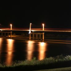
Discovery Bridge
31.9 km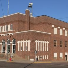
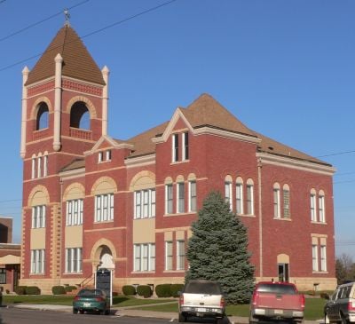
Hartington City Hall and Auditorium
2.6 km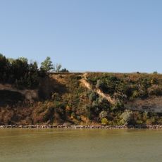
Calumet Bluff
34.9 km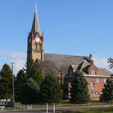
Immaculate Conception Catholic Church and Rectory
23.3 km
Gavins Point National Fish Hatchery
34.6 km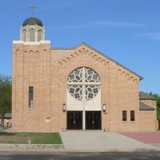
St. Rose of Lima Catholic Church and School Complex
25.1 km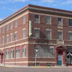
Hartington Hotel
2.7 km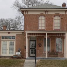
Governor John L. Pennington House
32 km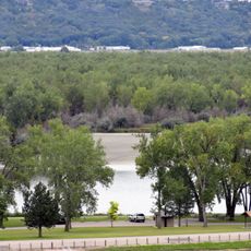
Training Dike Recreation Area
33.5 km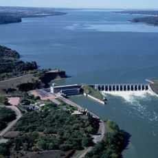
Cottonwood Recreation Area
34.7 km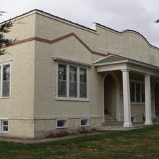
Saints Philip and James Parochial School
17.3 km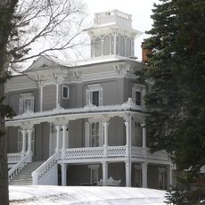
Ohlman-Shannon House
32.5 km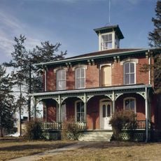
Austin–Whittemore House
32.6 km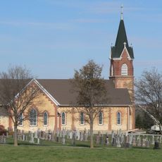
St. Boniface Catholic Church Complex
23.1 km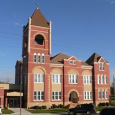
Cedar County Courthouse
2.5 km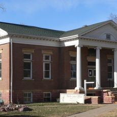
Yankton Carnegie Library
32.3 km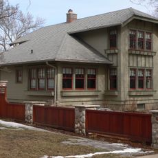
Harold A. Doyle House
32.6 km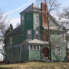
Burns House
32.9 km
Dr. John Trierweiler House
32.6 km
Bishop Marty Rectory
32.8 km
Dr. B.M. Banton House
32.8 km
Bruce-Donaldson House
32.2 km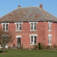
William Andre House
29.7 km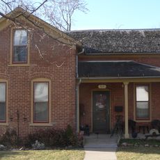
Fred Schnauber House
32.9 km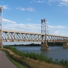
Meridian Highway Bridge
31.7 km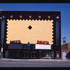
Dakota Theatre
32.3 km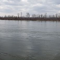
Clay County Park
27.7 kmReviews
Visited this place? Tap the stars to rate it and share your experience / photos with the community! Try now! You can cancel it anytime.
Discover hidden gems everywhere you go!
From secret cafés to breathtaking viewpoints, skip the crowded tourist spots and find places that match your style. Our app makes it easy with voice search, smart filtering, route optimization, and insider tips from travelers worldwide. Download now for the complete mobile experience.

A unique approach to discovering new places❞
— Le Figaro
All the places worth exploring❞
— France Info
A tailor-made excursion in just a few clicks❞
— 20 Minutes