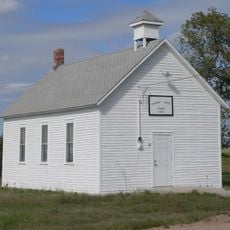
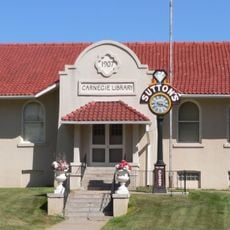
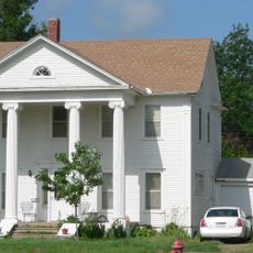
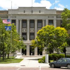
Furnas County, County in Nebraska, United States
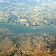
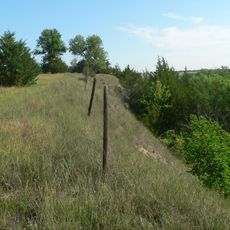
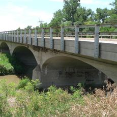
Furnas County is a county in southern Nebraska with rolling plains and waterways throughout. The Republican River runs through the central part, shaping the landscape and dividing the terrain.
The county was created in 1873 and named after Robert Wilkinson Furnas, who went on to become Nebraska's second governor. This naming honored someone who played an important role in the state's early development.
Farming shapes daily life across the county. Families have worked this land for generations, growing crops that define the region's character and way of living.
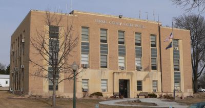
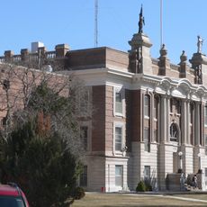
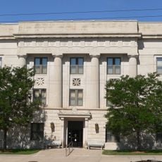
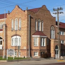
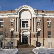
This is a rural county where most services are based in Beaver City. Plan ahead since amenities are spread out and it helps to know where you are going.
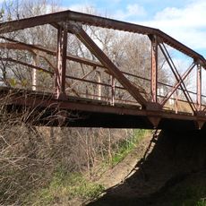
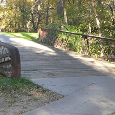
The Republican River provides fishing and outdoor opportunities throughout the year for visitors who want to spend time on the water. Recreational activities here center around this waterway.
Location: Nebraska
Inception: 1873
Capital city: Beaver City
Shares border with: Harlan County, Norton County, Decatur County, Red Willow County, Frontier County, Gosper County, Phelps County
Website: http://furnascounty.ne.gov
GPS coordinates: 40.17000,-99.91000
Latest update: December 10, 2025 16:03
Harlan County Reservoir
56 km
Harvey P. Sutton House
61 km
Heartland Museum of Military Vehicles
65.4 km
Norton County meteorite
54.3 km
Prairie Dog State Park
40.6 km
George W. Norris House
61 km
Prairie Dog Creek Bridge
41 km
W. H. Faling House
25.3 km
Bank of Oberlin
65.7 km
Mowry Bluff Archeological Site
34.9 km
Dawson County Courthouse
69.4 km
Salem Swedish Methodist Episcopal Church
69.6 km
First Congregational Church, U.C.C.
66.2 km
Pleasant Ridge Church
59.2 km
Gosper County Courthouse
46.7 km
McCook Public-Carnegie Library
60.9 km
Kinner House
53.9 km
Norton Downtown Historic District
38 km
Barbeau House
62.7 km
Red Willow County Courthouse
61 km
Alma City Auditorium and Sale Barn
47.2 km
Norcatur City Hall
44.1 km
McCook YMCA
61 km
Phelps County Courthouse
54.8 km
North Fork Solomon River Lattice Truss Bridge
39.2 km
Turkey Creek Bridge
50.9 km
Republican State Aid Bridge
24.6 km
Sappa Creek Bridge
30.5 kmVisited this place? Tap the stars to rate it and share your experience / photos with the community! Try now! You can cancel it anytime.
Discover hidden gems everywhere you go!
From secret cafés to breathtaking viewpoints, skip the crowded tourist spots and find places that match your style. Our app makes it easy with voice search, smart filtering, route optimization, and insider tips from travelers worldwide. Download now for the complete mobile experience.
A unique approach to discovering new places❞
— Le Figaro
All the places worth exploring❞
— France Info
A tailor-made excursion in just a few clicks❞
— 20 Minutes