Scott County

Log in to your account

AroundUs is a community-driven map of interesting places, built by curious explorers like you. It grows with every review, story, and photo you share.
Connect to save your favorite spots, contribute locations, and create personalized routes.
Continue with Google
Continue with Apple
Continue with X
Continue with Facebook
Continue with email
By continuing, you accept our Terms and Conditions and our Privacy Policy
Create an account
Add to collection
Map
Suggest a change
Share

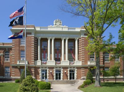
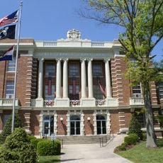
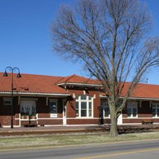
Scott County, County seat in Southeast Missouri, United States

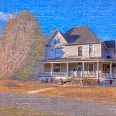
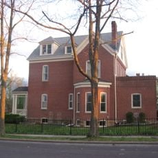
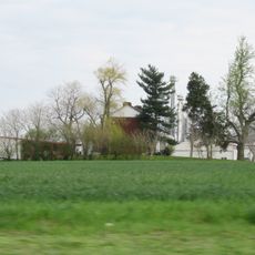
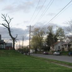
Scott County is an administrative region in Southeast Missouri that stretches along the western side of the Mississippi River and is governed from Benton. The area contains a mix of farmland and smaller towns distributed throughout the county.

The county was established in 1821 and named after John Scott, Missouri's first federal representative in Congress. This founding was part of the early settlement and administrative organization of the newly formed state.

The Scott County Central High School basketball program stands at the heart of local sports pride and community identity. Games and team achievements shape conversations and bring people together across the county throughout the year.

When visiting, it helps to know Benton as the central reference point from which to reach different parts of the region. Healthcare facilities like Missouri Delta Medical Center are widely distributed and easy to access if you need medical services.

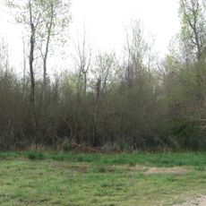
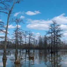
The area is home to Crowley's Ridge, a geological formation representing one of North America's oldest drainage systems formed over millions of years. This landform gives the region a distinctive natural character that becomes apparent when you travel through it.

Location: Missouri

Inception: 1821

Capital city: Benton

Shares border with: Alexander County, New Madrid County, Mississippi County, Stoddard County, Cape Girardeau County

Website: https://scottcountymo.com

GPS coordinates: 37.05000,-89.57000

Latest update: December 7, 2025 20:21

Photos
Around this place
Bill Emerson Memorial Bridge
United States of America

Bill Emerson Memorial Bridge

27.7 km
Cape Girardeau Bridge
United States of America

Cape Girardeau Bridge

27.7 km
Thebes Bridge
United States of America

Thebes Bridge

20.7 km
Dogtooth Bend Mounds and Village Site
United States of America

Dogtooth Bend Mounds and Village Site

21 km
Horseshoe Lake
United States of America

Horseshoe Lake

22 km
Fort D
United States of America

Fort D

27.1 km
Cathedral of St. Mary of the Annunciation
United States of America

Cathedral of St. Mary of the Annunciation

28.2 km
Glenn House
United States of America

Glenn House

28 km
St. Vincent De Paul Catholic Church
United States of America

St. Vincent De Paul Catholic Church

28.3 km
Thebes Courthouse
United States of America

Thebes Courthouse

21.3 km
Courthouse-Seminary Neighborhood Historic District
United States of America

Courthouse-Seminary Neighborhood Historic District

28.3 km
Charles Isaac and Lizzie Hunter Moore Anderson House
United States of America

Charles Isaac and Lizzie Hunter Moore Anderson House

16.4 km
August and Amalia Shivelbine House
United States of America

August and Amalia Shivelbine House

28.2 km
Jacob Swank House
United States of America

Jacob Swank House

22.7 km
Saint Vincent's College Building
United States of America

Saint Vincent's College Building

28.1 km
Scott County Courthouse
United States of America

Scott County Courthouse

5.2 km
Robert Felix and Elma Taylor Wichterich House
United States of America

Robert Felix and Elma Taylor Wichterich House

28.1 km
Moore House
United States of America

Moore House

24.2 km
Klostermann Block
United States of America

Klostermann Block

28.5 km
Sikeston St. Louis, Iron Mountain and Southern Railway Depot
United States of America

Sikeston St. Louis, Iron Mountain and Southern Railway Depot

19.4 km
Commerce City Hall
United States of America

Commerce City Hall

16.4 km
Haarig Commercial Historic District
United States of America

Haarig Commercial Historic District

28 km
Jefferson School
United States of America

Jefferson School

27.7 km
South Middle Street Historic District
United States of America

South Middle Street Historic District

28.1 km
Huhn-Harrison House
United States of America

Huhn-Harrison House

28.1 km
Edward S. and Mary Annatoile Albert Lilly House
United States of America

Edward S. and Mary Annatoile Albert Lilly House

28.3 km
Crisp Museum
United States of America

Crisp Museum

27.7 km
Honey School Lookout Tower
United States of America

Honey School Lookout Tower

26.1 km
Show the full map
Reviews

Visited this place? Tap the stars to rate it and share your experience / photos with the community! Try now! You can cancel it anytime.

Administrative divisions
« Scott County - County seat in Southeast Missouri, United States » is provided by Around Us (aroundus.com). Images and texts are derived from Wikimedia project under a Creative Commons license. You are allowed to copy, distribute, and modify copies of this page, under the conditions set by the license, as long as this note is clearly visible.

Discover hidden gems everywhere you go!

From secret cafés to breathtaking viewpoints, skip the crowded tourist spots and find places that match your style. Our app makes it easy with voice search, smart filtering, route optimization, and insider tips from travelers worldwide. Download now for the complete mobile experience.

Around Us App Screenshot

A unique approach to discovering new places

Le Figaro

All the places worth exploring

France Info

A tailor-made excursion in just a few clicks

20 Minutes