Cuming County, Administrative county in Nebraska, US
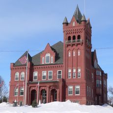
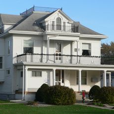
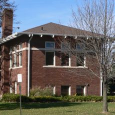
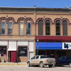
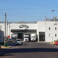
Cuming County is an administrative county in northeastern Nebraska that encompasses farmland, rural communities, and local infrastructure. West Point functions as its county seat, housing the main government offices and serving as the region's central hub.
Cuming County was established in 1855 and organized in 1857, receiving its name from Thomas B. Cuming, who served as Nebraska's territorial governor. The region subsequently developed as a farming area in the state's agricultural landscape.
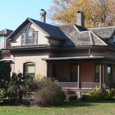
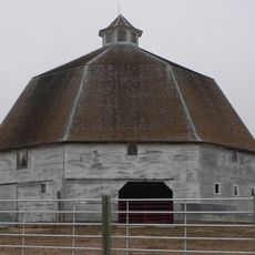
The county is shaped by farming practices that have defined the community and its way of life for generations. Working the land remains central to how people here connect with their surroundings and with each other.
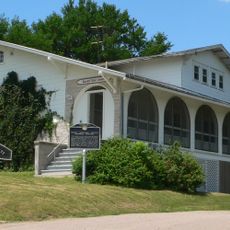
The county court in West Point serves as the main administrative center for legal and governmental matters in the region. Visitors can contact local officials or stop by during business hours to obtain information about services and resources available in the county.
Vehicle registrations in this county carry a distinctive number derived from historical registration data collected more than a century ago. This numbering system reflects an early organizational practice that persists in vehicle documentation today.
Location: Nebraska
Inception: 1855
Capital city: West Point
Shares border with: Thurston County, Dodge County, Burt County, Colfax County, Stanton County, Wayne County
Website: http://cumingcounty.ne.gov
GPS coordinates: 41.92000,-96.79000
Latest update: December 10, 2025 15:58
Dr. Susan LaFlesche Picotte Memorial Hospital
35.5 km
St. John's German Evangelical Lutheran Church
28.8 km
Burt County Missouri River Bridge
46.4 km
John G. Neihardt State Historic Site
20.4 km
Susan La Flesche Picotte House
35.4 km
Swedish Evangelical Lutheran Salem Church
39.1 km
Zion Presbyterian Church
34.5 km
Wayne County Courthouse
39.8 km
Swedish Heritage Center
28.7 km
Clarkson Opera House
35.2 km
H.S.M. Spielman House
50.1 km
Dr. W.C. Wightman House
40 km
Rattlesnake Creek Bridge
20.1 km
West Point City Auditorium
10.8 km
Thurston County Courthouse
22.6 km
Schneider's Opera House
24.2 km
First Thurston County Courthouse
22.7 km
E.C. Houston House
49.7 km
North Omaha Creek Bridge
37.3 km
Tekamah Carnegie Library
49.8 km
Frank Uehling Barn
31.4 km
Burt County Courthouse
49.8 km
Wayne Commercial Historic District
39.3 km
Burt County State Bank
49.8 km
Hooper Historic District
39.8 km
Tekamah City Bridge
49.8 km
North Omaha Creek Bridge
36.6 km
Logan Creek Bridge
22.8 kmVisited this place? Tap the stars to rate it and share your experience / photos with the community! Try now! You can cancel it anytime.
Discover hidden gems everywhere you go!
From secret cafés to breathtaking viewpoints, skip the crowded tourist spots and find places that match your style. Our app makes it easy with voice search, smart filtering, route optimization, and insider tips from travelers worldwide. Download now for the complete mobile experience.
A unique approach to discovering new places❞
— Le Figaro
All the places worth exploring❞
— France Info
A tailor-made excursion in just a few clicks❞
— 20 Minutes