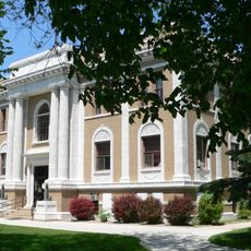
Buffalo County, County seat in central Nebraska, United States.
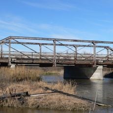
Buffalo County is an administrative division in central Nebraska that encompasses diverse terrain ranging from river valleys to rolling hills. The region stretches across several hundred square miles, blending flatter land along the Platte River with the gentler rises of the Great Plains.
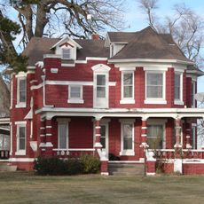
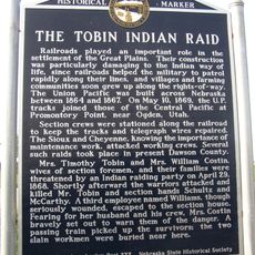
The county was established in 1855 and formally organized in 1870, taking its name from the vast bison herds that once roamed these grasslands. Settlement and development through the late 1800s introduced agricultural patterns that remain central to the region today.
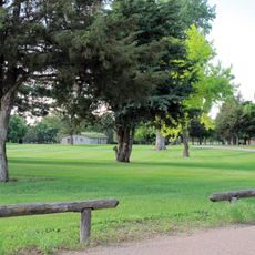
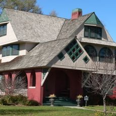
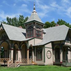
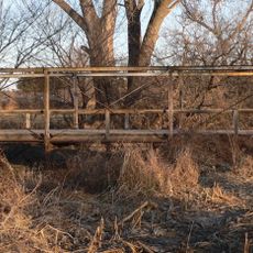
The land carries deep roots in agriculture that shaped how people lived and worked here for generations. The farms and open grasslands you see today reflect this enduring connection to ranching and farming traditions.
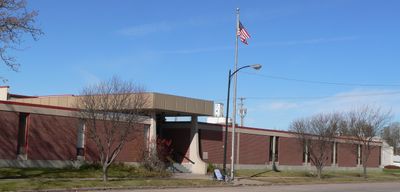
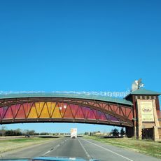
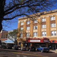
Local government offices provide online resources where you can access information about permits, records, and county services for planning your visit. Driving through the area is the best way to explore the different towns and landscapes at your own pace.
The area carries the number 9 on Nebraska license plates, a system introduced in 1922 that reflects the county's position in the state's registration order. This small detail connects the region's identity to a distinctive administrative history.
Location: Nebraska
Inception: 1870
Capital city: Kearney
Shares border with: Sherman County, Phelps County, Hall County, Adams County, Kearney County, Dawson County, Custer County, Howard County
Website: http://buffalogov.org
GPS coordinates: 40.86000,-99.07000
Latest update: December 7, 2025 20:25
Fort Kearny
24.1 km
Great Platte River Road Archway Monument
21.4 km
Pioneer Village
40.8 km
The Great Platte River Road Archway
21.3 km
Museum of Nebraska Art
17.9 km
George W. Frank House
18 km
St. Peder's Dansk Evangelical Lutheran Kirke
49.1 km
Salem Swedish Methodist Episcopal Church
46.2 km
Loup City Township Carnegie Library
47.1 km
Kearney County Courthouse
41.5 km
George Meisner House
28.7 km
Sherman County Courthouse
47 km
Saint Luke's Protestant Episcopal Church
17.3 km
Meisner Bank Building
29.7 kmMinden United States Post Office
41.5 km
Gloe Brothers Service Station
40.3 km
Dr. A.O. Thomas House
18.1 km
John Barnd House
17.1 km
Fort Theatre
18.1 km
W. T. Thorne Building
41.4 km
Eddie Eugene and Harriet Cotton Carpenter Farmstead
29.5 km
John J. and Lenora Bartlett House
19.2 km
Hanson-Downing House
18.1 km
Klehm House
18.1 km
World Theatre
18 km
Tobin Indian Raid Historical Marker
39.2 km
Kilgore Bridge
22 km
Sweetwater Mill Bridge
20.8 kmVisited this place? Tap the stars to rate it and share your experience / photos with the community! Try now! You can cancel it anytime.
Discover hidden gems everywhere you go!
From secret cafés to breathtaking viewpoints, skip the crowded tourist spots and find places that match your style. Our app makes it easy with voice search, smart filtering, route optimization, and insider tips from travelers worldwide. Download now for the complete mobile experience.
A unique approach to discovering new places❞
— Le Figaro
All the places worth exploring❞
— France Info
A tailor-made excursion in just a few clicks❞
— 20 Minutes