Stoddard County

Log in to your account

AroundUs is a community-driven map of interesting places, built by curious explorers like you. It grows with every review, story, and photo you share.
Connect to save your favorite spots, contribute locations, and create personalized routes.
By continuing, you accept our Terms and Conditions and our Privacy Policy
Add to collection
Map
Suggest a change
Share

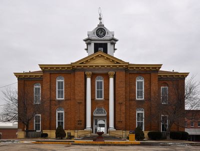
Stoddard County, County seat in Missouri, United States.

Stoddard County encompasses multiple communities across its territory, with Bloomfield serving as the central administrative hub at coordinates 36.86°N, 89.95°W.

The establishment of Stoddard County in 1835 represented a significant step in Missouri's territorial organization during the state's early development period.

The Stoddard County Sheriff's Office maintains an inventory of Native American artifacts and remains, coordinating with the Quapaw Nation and Osage Nation for their preservation.

The Family Support Division in Bloomfield provides residents with health care, child care, food assistance, and temporary aid services at 401 Shawnee Street.

The county assessor's office manages an advanced GIS mapping system that documents residential and commercial properties throughout the jurisdiction.

Location: Missouri

Inception: 1835

Capital city: Bloomfield

Shares border with: Bollinger County, Cape Girardeau County, Scott County, New Madrid County, Dunklin County, Butler County, Wayne County

Website: http://idasc.com

GPS coordinates: 36.86000,-89.95000

Latest update: March 11, 2025 02:54

Around this place
Show the full map
Lake Wappapello
United States of America

Lake Wappapello

30.9 km
Mingo National Wildlife Refuge
United States of America

Mingo National Wildlife Refuge

21.3 km
Rodgers Theatre
United States of America

Rodgers Theatre

41.1 km
Morris State Park
United States of America

Morris State Park

35.1 km
Hargrove Pivot Bridge
United States of America

Hargrove Pivot Bridge

39.2 km
Stoddard County Courthouse
United States of America

Stoddard County Courthouse

3.3 km
Williams-Gierth House
United States of America

Williams-Gierth House

41.8 km
North Main Street Historic District
United States of America

North Main Street Historic District

41.1 km
Mark Twain School
United States of America

Mark Twain School

41.5 km
Thomas Moore House
United States of America

Thomas Moore House

41.1 km
Wright-Dalton-Bell-Anchor Department Store Building
United States of America

Wright-Dalton-Bell-Anchor Department Store Building

41.2 km
Butler County Courthouse
United States of America

Butler County Courthouse

41.1 km
Poplar Bluff Public Library
United States of America

Poplar Bluff Public Library

41 km
John Archibald Phillips House
United States of America

John Archibald Phillips House

41.6 km
Alfred W. Greer House
United States of America

Alfred W. Greer House

41.8 km
Moore-Dalton House
United States of America

Moore-Dalton House

41.1 km
Garfield Historic District
United States of America

Garfield Historic District

41.2 km
St. Louis-San Francisco Railroad Depot
United States of America

St. Louis-San Francisco Railroad Depot

41.4 km
Wheatley Public School
United States of America

Wheatley Public School

41.2 km
Jacob Swank House
United States of America

Jacob Swank House

52 km
Scott County Courthouse
United States of America

Scott County Courthouse

43.3 km
J. Herbert Moore House
United States of America

J. Herbert Moore House

39.2 km
Charles and Bettie Birthright House
United States of America

Charles and Bettie Birthright House

45.6 km
Moore House
United States of America

Moore House

53.9 km
Williamson-Kennedy School
United States of America

Williamson-Kennedy School

40.9 km
Sikeston St. Louis, Iron Mountain and Southern Railway Depot
United States of America

Sikeston St. Louis, Iron Mountain and Southern Railway Depot

32.1 km
Lake Wappapello State Park
United States of America

Lake Wappapello State Park

36.4 km
Hunter-Dawson State Historic Site
United States of America

Hunter-Dawson State Historic Site

48.1 km
Show the full map

Reviews

Visited this place? Tap the stars to rate it and share your experience / photos with the community! Try now! You can cancel it anytime.

Administrative divisions
« Stoddard County - County seat in Missouri, United States » is provided by Around Us (aroundus.com). Images and texts are derived from Wikimedia project under a Creative Commons license. You are allowed to copy, distribute, and modify copies of this page, under the conditions set by the license, as long as this note is clearly visible.

Discover hidden gems everywhere you go!

From secret cafés to breathtaking viewpoints, skip the crowded tourist spots and find places that match your style. Our app makes it easy with voice search, smart filtering, route optimization, and insider tips from travelers worldwide. Download now for the complete mobile experience.

Around Us App Screenshot

A unique approach to discovering new places

Le Figaro

All the places worth exploring

France Info

A tailor-made excursion in just a few clicks

20 Minutes