Mingo National Wildlife Refuge, National Wildlife Refuge in Stoddard County, United States.
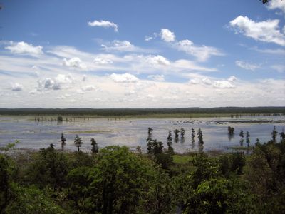
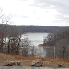
Mingo National Wildlife Refuge is a protected area of over 21,000 acres featuring bottomland hardwood forest, marsh waters, and grasslands within an ancient Mississippi River channel. The land combines dense woodlands, open water surfaces, and wide meadows that together form a complex ecosystem.
The refuge was established in 1945 after the region suffered from logging and environmental damage. Restoring this landscape became an important step in protecting one of the state's last large bottomland forests.
The name honors the Mingo people who hunted across this land for generations. Today, visitors experience the same forests and waters that sustained those communities for thousands of years.
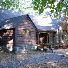
Visitors can drive on paved auto routes, walk a boardwalk trail, or watch wildlife from observation points. The area is open year-round and offers plenty of opportunities for hiking, fishing, and birdwatching.
The area preserves one of the last large bottomland forests that mirrors the pattern of the Mississippi River system from thousands of years ago. These undisturbed forests have become rare in the region and make this place a living window into the original landscape.
The community of curious travelers
AroundUs brings together thousands of curated places, local tips, and hidden gems, enriched daily by 60,000 contributors worldwide.