Enable Location

We need your location to show you interesting places around you

Discover nearby places

Find interesting locations and hidden gems around you

Precise directions

Get accurate directions and distances to places

Your location is never shared with other users. It's only used when you tap the location button.

Ohio County

Log in to your account

Start exploring — it's free

Trusted by 61,686 travelers worldwide

Continue with Google
Continue with Apple
or

We will send you a code to connect

By continuing, you accept our Terms and Conditions and our Privacy Policy

Check your inbox

We've sent a pincode in your inbox. Please enter the code below.

Ohio County, County seat in Kentucky, United States

Description

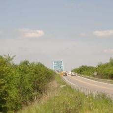
Ohio County is an administrative division in Kentucky featuring farmland, rolling hills, and waterways including the Rough River and Green River. The region displays typical rural terrain with scattered farms and natural river systems.

History

The county was established in December 1798 as Kentucky's 35th county and originally covered more territory than today. Parts were later separated to form the counties of Daviess and Hancock.

Culture

The name reflects connections early settlers made to eastern regions that influenced the naming choice. Today local newspapers and radio stations shape community life by covering events across the rural areas.

Practical

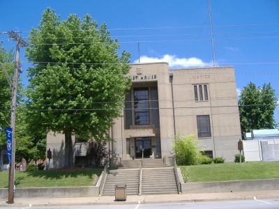
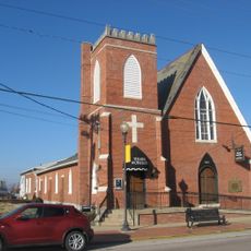
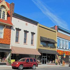
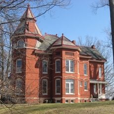
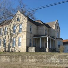
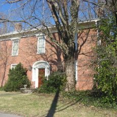
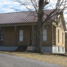
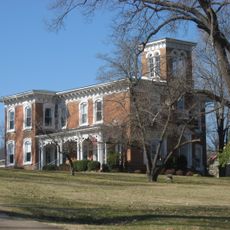
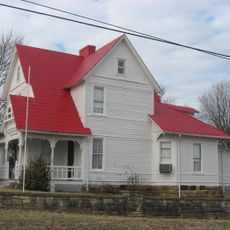
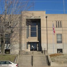
Hartford serves as the administrative center offering services in education, law enforcement, and emergency response. The rural layout is best explored by car since communities and attractions are scattered throughout the area.

Did you know?

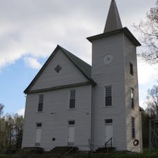
The area was long a significant coal producer and played an important role in regional economy and employment. This mining activity still shapes the appearance and infrastructure of several communities.

Location
Inception
December 17, 1798
Capital city
Hartford
Shares border with
Hancock County, Breckinridge County, Grayson County, Butler County, Muhlenberg County, McLean County, Daviess County
GPS coordinates
37.47000,-86.84000
Latest update
December 7, 2025 19:30

AroundUs brings together thousands of curated places, local tips, and hidden gems, enriched daily by 60,000 contributors worldwide. Discover all places nearby (Kentucky).

Around this place
Glover Cary Bridge
United States of America

Glover Cary Bridge

41.8 km
St. Stephen's Cathedral
United States of America

St. Stephen's Cathedral

41.3 km
Temple Adath Israel
United States of America

Temple Adath Israel

41.1 km
Annis Mound and Village Site
United States of America

Annis Mound and Village Site

21.5 km
Salem Baptist Church
United States of America

Salem Baptist Church

21.5 km
Livermore Bridge
United States of America

Livermore Bridge

26.1 km
Confederate-Union Veterans' Monument in Morgantown
United States of America

Confederate-Union Veterans' Monument in Morgantown

30.6 km
Haphazard
United States of America

Haphazard

40.4 km
Confederate Monument in Owensboro
United States of America

Confederate Monument in Owensboro

41.5 km
St. Joseph's Catholic Church
United States of America

St. Joseph's Catholic Church

41 km
Falls of Rough Historic District
United States of America

Falls of Rough Historic District

28.8 km
Odd Fellows Building
United States of America

Odd Fellows Building

41.4 km
Trinity Episcopal Church
United States of America

Trinity Episcopal Church

41.5 km
North Main Street Historic District (Greenville, Kentucky)
United States of America

North Main Street Historic District (Greenville, Kentucky)

42.2 km
Robert Thomas House
United States of America

Robert Thomas House

31.3 km
Dundee Masonic Lodge No. 733
United States of America

Dundee Masonic Lodge No. 733

11.4 km
George Short House
United States of America

George Short House

42.2 km
Felix Grimes House
United States of America

Felix Grimes House

39.6 km
Le Vega Clements House
United States of America

Le Vega Clements House

40.5 km
Yewell House
United States of America

Yewell House

40.8 km
Martin House
United States of America

Martin House

42.1 km
Old Town Historic District
United States of America

Old Town Historic District

6.2 km
U.S. Army Corps of Engineers Superintendent's House and Workmen's Office
United States of America

U.S. Army Corps of Engineers Superintendent's House and Workmen's Office

36.7 km
Samuel E. Hill House
United States of America

Samuel E. Hill House

5.9 km
Pendleton House
United States of America

Pendleton House

6.1 km
John Carson House
United States of America

John Carson House

30.6 km
Downtown Hartford Historic District
United States of America

Downtown Hartford Historic District

6.4 km
Griffith-Franklin House
United States of America

Griffith-Franklin House

37.9 km
Show the full map
« Ohio County - County seat in Kentucky, United States » is provided by Around Us (aroundus.com). Images and texts are derived from Wikimedia project under a Creative Commons license. You are allowed to copy, distribute, and modify copies of this page, under the conditions set by the license, as long as this note is clearly visible.

Discover hidden gems everywhere you go!

From secret cafés to breathtaking viewpoints, skip the crowded tourist spots and find places that match your style. Our app makes it easy with voice search, smart filtering, route optimization, and insider tips from travelers worldwide. Download now for the complete mobile experience.

Around Us App Screenshot

A unique approach to discovering new places

Le Figaro

All the places worth exploring

France Info

A tailor-made excursion in just a few clicks

20 Minutes

Around Us
Travel Guide & Maps
Download

Send to your phone

QR Code
1

Open the camera app on your mobile.

2

Point at the QR code with your camera. A notification will appear.

3

Tap the notification to open the link.