Chest opened
+${chestReward.xp} XP
Explorer
NOUVEAU ×${chestReward.collectible.quantity}
tapez pour fermer

See the monuments around you in AR Open chests in the app

Around Us is built for your phone — point your camera at the streets and discover the monuments and places around you in augmented reality. Around Us is built for your phone — chests unlock when you walk, explore and capture nearby places.

Enable Location

We need your location to show you interesting places around you

Discover nearby places

Find interesting locations and hidden gems around you

Precise directions

Get accurate directions and distances to places

Your location is never shared with other users. It's only used when you tap the location button.

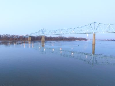
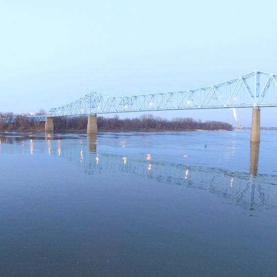
Glover Cary Bridge

Log in to your account

Start exploring — it's free

Trusted by 85,430 travelers worldwide

Continue with Google
Continue with Apple
or

We will send you a code to connect

By continuing, you accept our Terms and Conditions and our Privacy Policy

Check your inbox

We've sent a pincode in your inbox. Please enter the code below.

Glover Cary Bridge
Discussion Reviews 1 Photos
4.7k Popularity

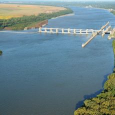
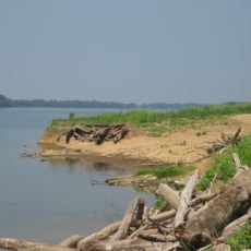
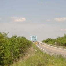
Glover Cary Bridge, Continuous truss bridge across Ohio River in Owensboro, United States.

Glover Cary Bridge is a steel truss structure connecting Owensboro, Kentucky to Spencer County, Indiana across the Ohio River. The crossing features a main navigation span and multiple support sections that carry a two-lane roadway.

The bridge was designed by a prominent engineering firm and constructed by a Pittsburgh-based steel company, opening in 1940. Originally built as a toll facility, it was later incorporated into the state road system under different highway designations.

The bridge takes its name from a congressman who represented the area during the 1930s and left his mark on local politics. His name remains connected to this crossing that links two communities.

You can walk or drive across to enjoy views of the river and move between the two states. For the best view of the structure itself, head to the nearby riverfront area.

The bridge originally operated as a toll crossing, which was common for such projects when it first opened. This changed once a newer alternative route was built downstream.

The community of curious travelers

AroundUs brings together thousands of curated places, local tips, and hidden gems, enriched daily by 60,000 contributors worldwide.
Start exploring
Location
Official opening
1940
GPS coordinates
37.77920,-87.10920
Latest update
August 30, 2026 17:25
Around this place
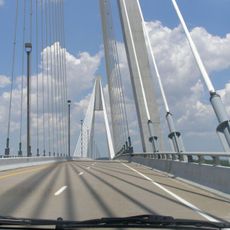
William H. Natcher Bridge
United States of America

William H. Natcher Bridge

9.4 mi
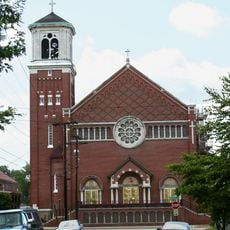
St. Stephen's Cathedral
United States of America

St. Stephen's Cathedral

0.8 mi
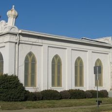
Temple Adath Israel
United States of America

Temple Adath Israel

0.5 mi
Newburgh Lock and Dam
United States of America

Newburgh Lock and Dam

17.8 mi
Yankeetown Site
United States of America

Yankeetown Site

13.6 mi
Western Kentucky Botanical Garden
United States of America

Western Kentucky Botanical Garden

2 mi
Livermore Bridge
United States of America

Livermore Bridge

20.5 mi
Ellerbusch Site
United States of America

Ellerbusch Site

21 mi
Haphazard
United States of America

Haphazard

2 mi
Confederate Monument in Owensboro
United States of America

Confederate Monument in Owensboro

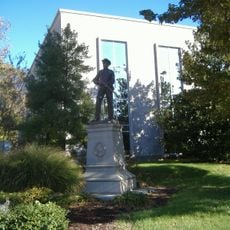
0.4 mi
Thompson and Powell Martyrs Monument
United States of America

Thompson and Powell Martyrs Monument

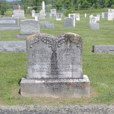
13.2 mi
St. Joseph's Catholic Church
United States of America

St. Joseph's Catholic Church

0.5 mi
Old Newburgh Presbyterian Church
United States of America

Old Newburgh Presbyterian Church

19.8 mi
Mathias Sharp House
United States of America

Mathias Sharp House

7.8 mi
Boonville Public Square Historic District
United States of America

Boonville Public Square Historic District

20.7 mi
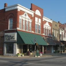
Odd Fellows Building
United States of America

Odd Fellows Building

0.4 mi
Trinity Episcopal Church
United States of America

Trinity Episcopal Church

0.6 mi
Spencer County Courthouse
United States of America

Spencer County Courthouse

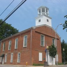
7.9 mi
Joe Pell Building
United States of America

Joe Pell Building

15.7 mi
Old Warrick County Jail
United States of America

Old Warrick County Jail

20.8 mi
Roberts-Morton House
United States of America

Roberts-Morton House

19 mi
Original Newburgh Historic District
United States of America

Original Newburgh Historic District

19.8 mi
Felix Grimes House
United States of America

Felix Grimes House

1.4 mi
Le Vega Clements House
United States of America

Le Vega Clements House

1 mi
Yewell House
United States of America

Yewell House

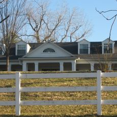
0.7 mi
United States of America

Lewisport Masonic Lodge

15.7 mi
Robert C. Beauchamp House
United States of America

Robert C. Beauchamp House

19.4 mi
Griffith-Franklin House
United States of America

Griffith-Franklin House

18.7 mi
Show the full map
Reviews
Share your experience

No review yet

Discussions
Start a discussion...

No discussion yet

« Glover Cary Bridge - Continuous truss bridge across Ohio River in Owensboro, United States » is provided by Around Us (aroundus.com). Images and texts are derived from Wikimedia project under a Creative Commons license. You are allowed to copy, distribute, and modify copies of this page, under the conditions set by the license, as long as this note is clearly visible.

Discover hidden gems everywhere you go!

From secret cafés to breathtaking viewpoints, skip the crowded tourist spots and find places that match your style. Our app makes it easy with voice search, smart filtering, route optimization, and insider tips from travelers worldwide. Download now for the complete mobile experience.
Around Us App Screenshot

A unique approach to discovering new places

Le Figaro

All the places worth exploring

France Info

A tailor-made excursion in just a few clicks

20 Minutes

Around Us
Travel Guide & Maps
Download

Send to your phone

QR Code
1

Open the camera app on your mobile.

2

Point at the QR code with your camera. A notification will appear.

3

Tap the notification to open the link.