Enable Location

We need your location to show you interesting places around you

Discover nearby places

Find interesting locations and hidden gems around you

Precise directions

Get accurate directions and distances to places

Your location is never shared with other users. It's only used when you tap the location button.

Floyd County

Log in to your account

Start exploring — it's free

Trusted by 62,994 travelers worldwide

Continue with Google
Continue with Apple
or

We will send you a code to connect

By continuing, you accept our Terms and Conditions and our Privacy Policy

Check your inbox

We've sent a pincode in your inbox. Please enter the code below.

Discussion Reviews 1 Photos
26.3k Popularity

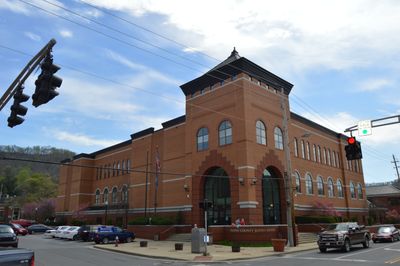
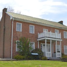
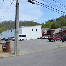
Floyd County, County administration center in eastern Kentucky, United States

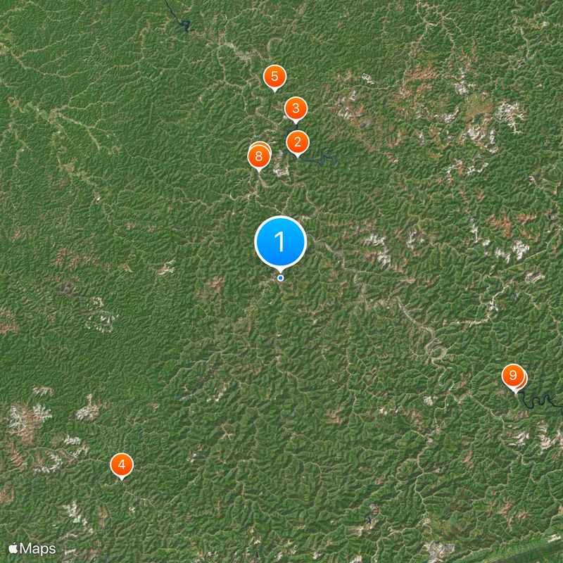
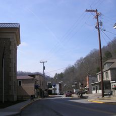
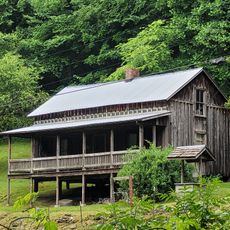
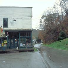
Floyd County is an administrative division in eastern Kentucky that encompasses several incorporated communities, forests, and rolling terrain. The county's landscape includes woodland areas and small towns spread throughout its boundaries.

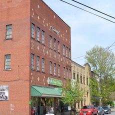
Floyd County was established in December 1799 with Prestonsburg as its county seat. Coal mining operations began in the early 1900s and became a major economic driver for the region.

The county maintains strong Appalachian traditions through local music performances, storytelling events, and food festivals that reflect the regional mountain heritage.

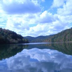
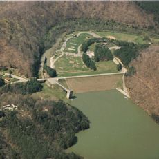
Visitors can explore Jenny Wiley State Resort Park, which offers camping facilities, hiking trails, and fishing areas for outdoor activities. The park serves as a good starting point for experiencing the county's natural spaces.

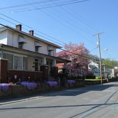
The county experienced significant population shifts during the mid-20th century due to coal industry growth. This rapid expansion created distinct neighborhood patterns that remain visible in the area's settlement structure today.

The community of curious travelers

AroundUs brings together thousands of curated places, local tips, and hidden gems, enriched daily by 60,000 contributors worldwide.

Start exploring
Location
Inception
December 13, 1799
Capital city
Prestonsburg
Shares border with
Johnson County, Martin County, Pike County, Knott County, Magoffin County
GPS coordinates
37.56000,-82.75000
Latest update
December 20, 2025 15:17
Around this place
Jenny Wiley State Resort Park
United States of America

Jenny Wiley State Resort Park

15.5 km
Dewey Lake
United States of America

Dewey Lake

19.6 km
United States of America

Hindman Settlement School

32.1 km
United States of America

Coal Miners' Museum

23.5 km
Fishtrap Lake
United States of America

Fishtrap Lake

32.8 km
East Kentucky Science Center
United States of America

East Kentucky Science Center

14.2 km
Samuel May House
United States of America

Samuel May House

13.8 km
Fishtrap Lake State Park
United States of America

Fishtrap Lake State Park

32.3 km
Big Sandy Heritage Center
United States of America

Big Sandy Heritage Center

22.2 km
United States of America

Big Lovely Mountain

29.7 km
Methodist Episcopal Church, South
United States of America

Methodist Episcopal Church, South

11.9 km
Foster Hardware
United States of America

Foster Hardware

24.6 km
United States of America

Odd Fellows Building

22.3 km
United States of America

Hiram and Art Stamper House

27.6 km
College Street Historic District
United States of America

College Street Historic District

22.3 km
Hindman Historic District
United States of America

Hindman Historic District

32.3 km
Pikeville College Academy Building
United States of America

Pikeville College Academy Building

22.2 km
Front Street Historic District
United States of America

Front Street Historic District

12.1 km
Bolen Building
United States of America

Bolen Building

32.4 km
Pikeville Commercial Historic District
United States of America

Pikeville Commercial Historic District

22.4 km
Fitzpatrick-Harmon House
United States of America

Fitzpatrick-Harmon House

12.2 km
Loretta Lynn's Homeplace
United States of America

Loretta Lynn's Homeplace

25.2 km
United States of America

Van Lear Historical Society

23.5 km
Mine No. 5 Store
United States of America

Mine No. 5 Store

23.8 km
Boldman Bridge
United States of America

Boldman Bridge

12 km
United States of America

Green Meadow Country Club

13.2 km

Appalachian Center for the Arts

22.3 km
United States of America

Scenic viewpoint

21.1 km
Show the full map
Reviews
Share your experience

No review yet

Discussions
Start a discussion...

No discussion yet

« Floyd County - County administration center in eastern Kentucky, United States » is provided by Around Us (aroundus.com). Images and texts are derived from Wikimedia project under a Creative Commons license. You are allowed to copy, distribute, and modify copies of this page, under the conditions set by the license, as long as this note is clearly visible.

Discover hidden gems everywhere you go!

From secret cafés to breathtaking viewpoints, skip the crowded tourist spots and find places that match your style. Our app makes it easy with voice search, smart filtering, route optimization, and insider tips from travelers worldwide. Download now for the complete mobile experience.

Around Us App Screenshot

A unique approach to discovering new places

Le Figaro

All the places worth exploring

France Info

A tailor-made excursion in just a few clicks

20 Minutes

Around Us
Travel Guide & Maps
Download

Send to your phone

QR Code
1

Open the camera app on your mobile.

2

Point at the QR code with your camera. A notification will appear.

3

Tap the notification to open the link.