Enable Location

We need your location to show you interesting places around you

Discover nearby places

Find interesting locations and hidden gems around you

Precise directions

Get accurate directions and distances to places

Your location is never shared with other users. It's only used when you tap the location button.

Jefferson County

Log in to your account

Start exploring — it's free

Trusted by 61,341 travelers worldwide

Continue with Google
Continue with Apple
or

We will send you a code to connect

By continuing, you accept our Terms and Conditions and our Privacy Policy

Check your inbox

We've sent a pincode in your inbox. Please enter the code below.

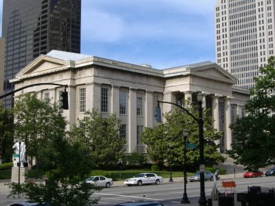
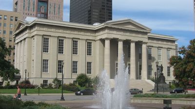
Jefferson County, County seat in Kentucky, United States.

Description

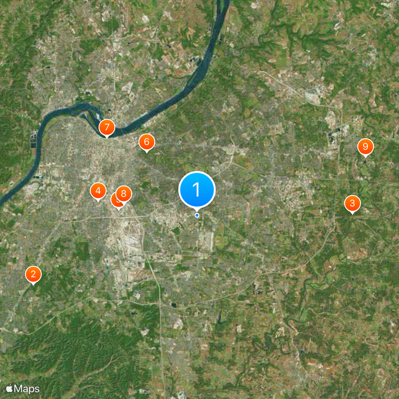
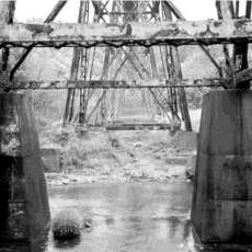
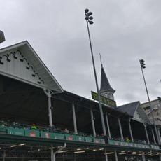
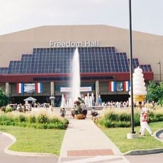
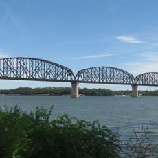
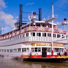
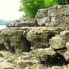
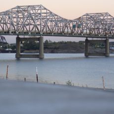
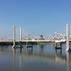
Jefferson County is an administrative unit in northern Kentucky that covers roughly 398 square miles along the Ohio River. The area includes dozens of smaller communities and urban zones linked by a network of roads and waterways.

History

The Virginia General Assembly created this administrative unit in 1780 when Kentucky was still part of Virginia and settlers were establishing farms along the river. Over the following decades the region grew through trade and agriculture, becoming one of the most important areas in the new state after Kentucky gained independence in 1792.

Culture

The name honors Thomas Jefferson, whose political ideas were still fresh in Virginia when settlers organized the territory. Today streets and public buildings carry his name, while daily life follows modern rhythms shaped by river trade and regional industry.

Practical

Interstate 65 and Interstate 264 run through the area and connect it to neighboring states. Travelers can orient themselves by the riverbanks, while main roads pass through different communities and provide access to shops and services.

Did you know?

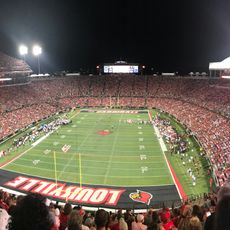
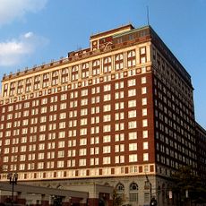
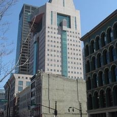
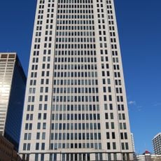
The merger with Louisville in 2003 fundamentally changed the administrative structure and created a shared government system for the city and surrounding areas. This consolidation made the region the largest urban area in Kentucky and continues to shape how public services are organized today.

Location
Inception
May 1, 1780
Capital city
Louisville
Shares border with
Clark County, Floyd County, Harrison County, Hardin County, Bullitt County, Spencer County, Shelby County, Oldham County
GPS coordinates
38.19000,-85.66000
Latest update
December 13, 2025 18:08

AroundUs brings together thousands of curated places, local tips, and hidden gems, enriched daily by 60,000 contributors worldwide. Discover all places nearby (Kentucky).

Around this place
Waverly Hills Sanatorium
United States of America

Waverly Hills Sanatorium

17.2 km
Pope Lick Monster
United States of America

Pope Lick Monster

15.1 km
Churchill Downs
United States of America

Churchill Downs

9.7 km
Kentucky Kingdom
United States of America

Kentucky Kingdom

7.7 km
Cave Hill Cemetery
United States of America

Cave Hill Cemetery

7.9 km
Muhammad Ali Center
United States of America

Muhammad Ali Center

11.6 km
Freedom Hall
United States of America

Freedom Hall

7.3 km
United States of America

Valhalla Golf Club

17.3 km
L&N Federal Credit Union Stadium
United States of America

L&N Federal Credit Union Stadium

8.8 km
Big Four Bridge
United States of America

Big Four Bridge

10.9 km
Southeast Christian Church
United States of America

Southeast Christian Church

10.9 km
Belle of Louisville
United States of America

Belle of Louisville

11.3 km
Louisville Male High School
United States of America

Louisville Male High School

5.5 km
Seelbach Hotel
United States of America

Seelbach Hotel

10.9 km
Louisville Slugger Museum & Factory
United States of America

Louisville Slugger Museum & Factory

11.7 km
Louisville Zoo
United States of America

Louisville Zoo

4.3 km
Falls of the Ohio National Wildlife Conservation Area
United States of America

Falls of the Ohio National Wildlife Conservation Area

13.3 km
Brown Hotel
United States of America

Brown Hotel

10.6 km
John F. Kennedy Memorial Bridge
United States of America

John F. Kennedy Memorial Bridge

11 km
United States of America

Falls of the Ohio State Park

13.1 km
Louisville Gardens
United States of America

Louisville Gardens

11.1 km
Humana Building
United States of America

Humana Building

11.4 km
Zachary Taylor National Cemetery
United States of America

Zachary Taylor National Cemetery

9.9 km
Louisville Water Tower
United States of America

Louisville Water Tower

10.7 km
Thomas Edison House
United States of America

Thomas Edison House

10 km
Abraham Lincoln Bridge
United States of America

Abraham Lincoln Bridge

11.1 km
AEGON Center
United States of America

AEGON Center

11.2 km
Frazier History Museum
United States of America

Frazier History Museum

11.9 km
Show the full map
« Jefferson County - County seat in Kentucky, United States » is provided by Around Us (aroundus.com). Images and texts are derived from Wikimedia project under a Creative Commons license. You are allowed to copy, distribute, and modify copies of this page, under the conditions set by the license, as long as this note is clearly visible.

Discover hidden gems everywhere you go!

From secret cafés to breathtaking viewpoints, skip the crowded tourist spots and find places that match your style. Our app makes it easy with voice search, smart filtering, route optimization, and insider tips from travelers worldwide. Download now for the complete mobile experience.

Around Us App Screenshot

A unique approach to discovering new places

Le Figaro

All the places worth exploring

France Info

A tailor-made excursion in just a few clicks

20 Minutes

Around Us
Travel Guide & Maps
Download

Send to your phone

QR Code
1

Open the camera app on your mobile.

2

Point at the QR code with your camera. A notification will appear.

3

Tap the notification to open the link.