Enable Location

We need your location to show you interesting places around you

Discover nearby places

Find interesting locations and hidden gems around you

Precise directions

Get accurate directions and distances to places

Your location is never shared with other users. It's only used when you tap the location button.

Shawano County

Log in to your account

Save your favorite places
Create custom travel routes
Rate and review places
Access the full interactive map
Continue with Google
Continue with Apple
Continue with email
By continuing, you accept our Terms and Conditions and our Privacy Policy
Create an account
Add to collection
Map
Suggest a change
Share

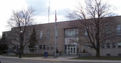
Shawano County, Administrative county in northeastern Wisconsin, United States.

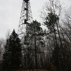
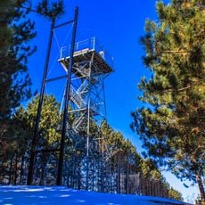
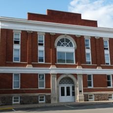
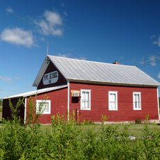
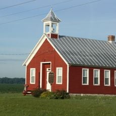
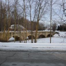
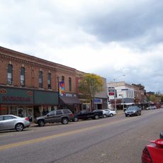
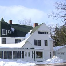
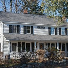
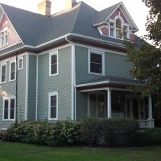
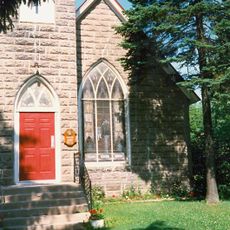
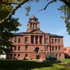
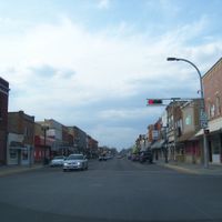
Shawano County is an administrative county in northeastern Wisconsin that encompasses several townships, with Shawano as its county seat. The area spans agricultural lands, small communities, and forests with lakes and streams scattered throughout.

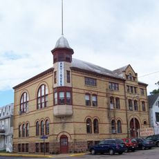
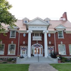
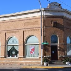
The county was established in 1853 as part of the westward expansion in the Midwest. The region evolved from frontier land into a center for farming and commerce over the following decades.

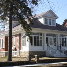
The area reflects its heritage from German and Polish settlement, with traditions and local customs that continue to shape community gatherings today. These influences remain visible in the way residents celebrate seasonal events and maintain neighborhood connections.

The county is best explored by car since public transportation is limited and distances between communities can be significant. Visitors should check ahead about available services and facilities in their chosen destination, as not all towns offer the same infrastructure.

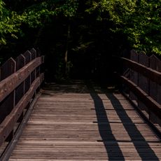
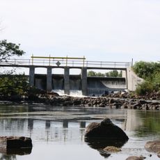
The county contains numerous lakes and river systems that make it a destination for fishing, though this often goes unnoticed by casual visitors. These waterways shape the local economy and recreation culture more than many realize.

Location: Wisconsin

Inception: 1853

Capital city: Shawano

Shares border with: Menominee County, Oconto County, Brown County, Outagamie County, Waupaca County, Portage County, Marathon County, Langlade County

Website: http://co.shawano.wi.us

GPS coordinates: 44.79000,-88.76000

Latest update: December 7, 2025 19:26

Photos
Around this place
Dells of the Eau Claire County Park
United States of America

Dells of the Eau Claire County Park

52 km
Green Bay Botanical Garden
United States of America

Green Bay Botanical Garden

59.7 km
Daniel E. Krause Stone Barn
United States of America

Daniel E. Krause Stone Barn

46.6 km
Mountain Fire Lookout Tower
United States of America

Mountain Fire Lookout Tower

52.8 km
Chute Pond Dam
United States of America

Chute Pond Dam

45.4 km
Danes Hall
United States of America

Danes Hall

54.3 km
Antigo Public Library and Deleglise Cabin
United States of America

Antigo Public Library and Deleglise Cabin

49.6 km
Brown County Reforestation Camp
United States of America

Brown County Reforestation Camp

55.1 km
Mountain High School
United States of America

Mountain High School

49.1 km
Antigo Opera House
United States of America

Antigo Opera House

50.1 km
Hortonville Community Hall
United States of America

Hortonville Community Hall

51.5 km
Lutheran Indian Mission
United States of America

Lutheran Indian Mission

9.7 km
Pipe School
United States of America

Pipe School

56.6 km
Lena Road School
United States of America

Lena Road School

62.8 km
George Peters House
United States of America

George Peters House

42.6 km
Citizens State Bank of Gillett
United States of America

Citizens State Bank of Gillett

37.6 km
Waupaca Free Public Library
United States of America

Waupaca Free Public Library

54.8 km
Barteau Bridge
United States of America

Barteau Bridge

39.2 km
Muehl Public Library
United States of America

Muehl Public Library

45.8 km
Center Valley Grade School
United States of America

Center Valley Grade School

48.7 km
Angeline Champeau Rioux House
United States of America

Angeline Champeau Rioux House

60.3 km
Main Street Historic District
United States of America

Main Street Historic District

54.5 km
Veterans Cottages Historic District
United States of America

Veterans Cottages Historic District

58.8 km
Henry House
United States of America

Henry House

58.7 km
Lincoln School
United States of America

Lincoln School

12.1 km
L. A. Pomeroy House
United States of America

L. A. Pomeroy House

56.4 km
St Olaf’s Episcopal Church,
United States of America

St Olaf’s Episcopal Church,

56 km
Langlade County Courthouse
United States of America

Langlade County Courthouse

50.2 km
Show the full map
Reviews

Visited this place? Tap the stars to rate it and share your experience / photos with the community! Try now! You can cancel it anytime.

Administrative divisions
« Shawano County - Administrative county in northeastern Wisconsin, United States » is provided by Around Us (aroundus.com). Images and texts are derived from Wikimedia project under a Creative Commons license. You are allowed to copy, distribute, and modify copies of this page, under the conditions set by the license, as long as this note is clearly visible.

Discover hidden gems everywhere you go!

From secret cafés to breathtaking viewpoints, skip the crowded tourist spots and find places that match your style. Our app makes it easy with voice search, smart filtering, route optimization, and insider tips from travelers worldwide. Download now for the complete mobile experience.

Around Us App Screenshot

A unique approach to discovering new places

Le Figaro

All the places worth exploring

France Info

A tailor-made excursion in just a few clicks

20 Minutes