
Washington County, Administrative division in southeastern Wisconsin, US
Washington County encompasses 112,900 hectares of land with West Bend as its capital, featuring a network of municipalities and natural spaces.
The county emerged as an administrative entity in 1845, evolving from agricultural lands into a mix of suburban areas and preserved natural territories.
Local organizations and community groups across Washington County maintain active participation in governance, fostering connections between municipalities and residents.
The county provides governmental services through its headquarters in West Bend, located at coordinates 43.37 degrees north and 88.23 degrees west.
The region maintains 1,300 hectares of water bodies integrated within its territory, supporting diverse ecological systems and recreational activities.
Location: Wisconsin
Inception: 1845
Capital city: West Bend
Shares border with: Sheboygan County, Fond du Lac County, Ozaukee County, Milwaukee County, Waukesha County, Dodge County
Website: http://co.washington.wi.us
GPS coordinates: 43.37000,-88.23000
Latest update: May 27, 2025 09:29
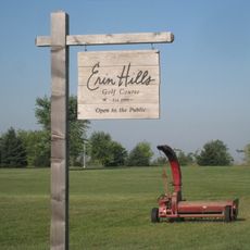
Erin Hills
19 km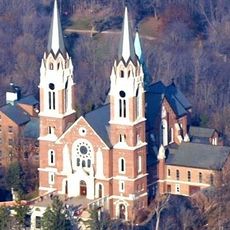
Holy Hill National Shrine of Mary, Help of Christians
16.1 km
Cedarburg Covered Bridge
18.6 km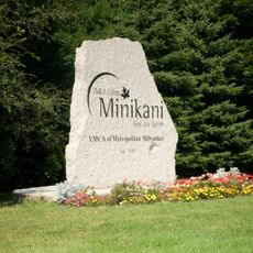
YMCA Camp Minikani
17.2 km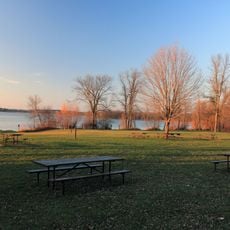
Pike Lake Unit, Kettle Moraine State Forest
9.4 km
Museum of Wisconsin Art
7.3 km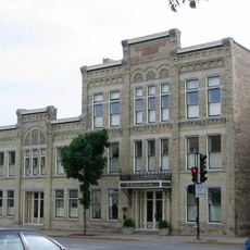
Washington Avenue Historic District
21.1 km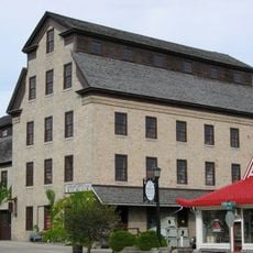
Cedarburg Mill
21.4 km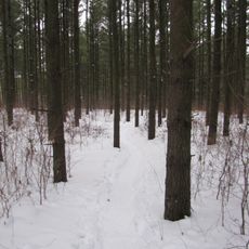
Loew Lake Unit, Kettle Moraine State Forest
18.2 km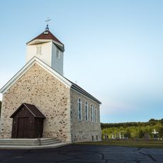
St. Augustine Catholic Church and Cemetery
15.4 km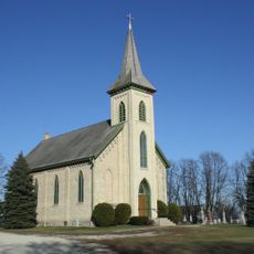
St. John of God Roman Catholic Church, Convent, and School
18.7 km
Christ Evangelical Church
14.6 km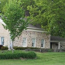
Jonathan Clark House
22.7 km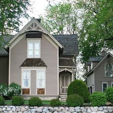
John Reichert Farmhouse
21.2 km
Cedarburg Bog
18.1 km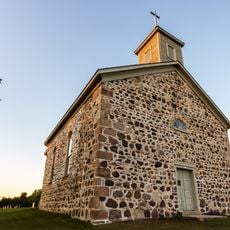
St. Peter's Church
15 km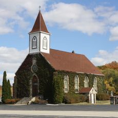
Saint John Evangelical Lutheran Church
22 km
Concordia Mill
23.1 km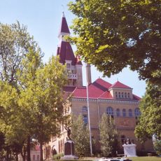
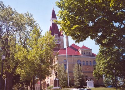
Washington County Courthouse and Jail
6.8 km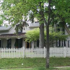
Wayside House
21.6 km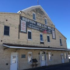
Gadow's Mill
9 km
Christian Turck House
16.4 km
Columbia Historic District
21.3 km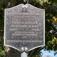
Barton Historic District
8.9 km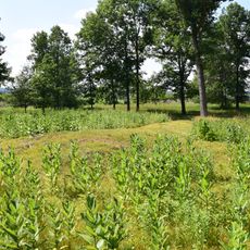
Lizard Mound County Park
12.7 km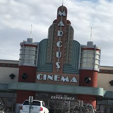
Menomonee Falls Cinemas
21.9 km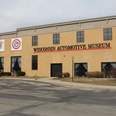
Wisconsin Automotive Museum
13.5 km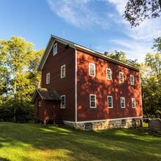
Richfield Historical Park
12.1 kmReviews
Visited this place? Tap the stars to rate it and share your experience / photos with the community! Try now! You can cancel it anytime.

Discover hidden gems everywhere you go!
From secret cafés to breathtaking viewpoints, skip the crowded tourist spots and find places that match your style. Our app makes it easy with voice search, smart filtering, route optimization, and insider tips from travelers worldwide. Download now for the complete mobile experience.

A unique approach to discovering new places❞
— Le Figaro
All the places worth exploring❞
— France Info
A tailor-made excursion in just a few clicks❞
— 20 Minutes