Enable Location

We need your location to show you interesting places around you

Discover nearby places

Find interesting locations and hidden gems around you

Precise directions

Get accurate directions and distances to places

Your location is never shared with other users. It's only used when you tap the location button.

Jackson County

Log in to your account

Start exploring — it's free

Trusted by 61,344 travelers worldwide

Continue with Google
Continue with Apple
or

We will send you a code to connect

By continuing, you accept our Terms and Conditions and our Privacy Policy

Check your inbox

We've sent a pincode in your inbox. Please enter the code below.

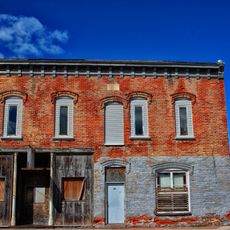
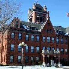
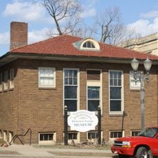
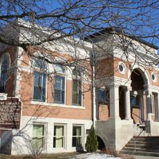
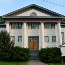
Jackson County, Administrative county in western Wisconsin, United States

Description

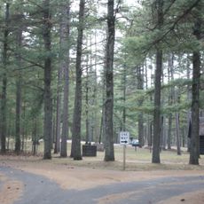
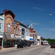
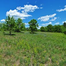
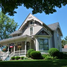
Jackson County is an administrative county in western Wisconsin that spreads across forested terrain dotted with rolling hills. The Black River cuts through the center of the region, flowing near the county seat of Black River Falls.

History

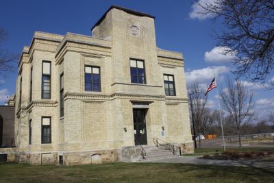
The area was established in 1853 and named after the 7th U.S. President. This early founding marked the beginning of permanent European-American settlement in the region.

Culture

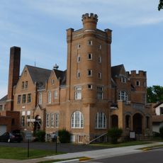
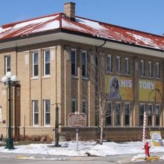
The Ho-Chunk Nation operates its administrative center in Black River Falls, shaping the region's indigenous presence and governance today. This connection influences how local communities function and how people understand the area's identity.

Practical

The county is accessible via Interstate 94 and US Highway 12, which form the main routes through the area. Various lakes and hiking trails can be easily reached from these main roads.

Did you know?

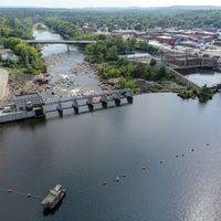
The area is defined by the Black River Flowage, a reservoir created by a hydroelectric dam that serves both power generation and recreation. This water body is a central feature of the local landscape and economy.

Location
Inception
1853
Capital city
Black River Falls
Shares border with
Clark County, Wood County, Juneau County, Monroe County, La Crosse County, Trempealeau County, Eau Claire County
GPS coordinates
44.32000,-90.81000
Latest update
December 7, 2025 20:41

AroundUs brings together thousands of curated places, local tips, and hidden gems, enriched daily by 60,000 contributors worldwide. Discover all places nearby (Wisconsin).

Around this place
Clark County Jail
United States of America

Clark County Jail

31.8 km
Black River State Forest
United States of America

Black River State Forest

11.9 km
Silver Mound Archeological District
United States of America

Silver Mound Archeological District

16.8 km
Wisconsin Pavilion
United States of America

Wisconsin Pavilion

31.7 km
Omaha Hotel
United States of America

Omaha Hotel

31.7 km
Monroe County Courthouse
United States of America

Monroe County Courthouse

41.9 km
Black River Falls Public Library
United States of America

Black River Falls Public Library

4.3 km
Sparta Free Library
United States of America

Sparta Free Library

41.8 km
Neillsville Downtown Historic District
United States of America

Neillsville Downtown Historic District

31.7 km
Black Hawk Powwow Grounds
United States of America

Black Hawk Powwow Grounds

6 km
Tomah Public Library
United States of America

Tomah Public Library

45.1 km
William G. and Anne Williams House
United States of America

William G. and Anne Williams House

41.6 km
John and Maria Hein House
United States of America

John and Maria Hein House

32 km
St. John's Episcopal Church
United States of America

St. John's Episcopal Church

41.4 km
First Church of Christ, Scientist
United States of America

First Church of Christ, Scientist

31.6 km
Sparta Masonic Temple
United States of America

Sparta Masonic Temple

41.8 km
Decatur and Kate Dickinson House
United States of America

Decatur and Kate Dickinson House

31.8 km
Charles Foote House
United States of America

Charles Foote House

32.3 km
Canoe Landing Prairie State Natural Area
United States of America

Canoe Landing Prairie State Natural Area

48.1 km
California Wine and Liquor Store
United States of America

California Wine and Liquor Store

33.6 km
Forrest D. and Marian Calway House
United States of America

Forrest D. and Marian Calway House

31.7 km
Herman M. and Hanna Hediger House
United States of America

Herman M. and Hanna Hediger House

30.9 km
Neillsville Masonic Temple Lodge No. 163
United States of America

Neillsville Masonic Temple Lodge No. 163

31.7 km
George W. and Sarah Trogner House
United States of America

George W. and Sarah Trogner House

31.2 km
William B. and Jennie Tufts House
United States of America

William B. and Jennie Tufts House

31.8 km
Cranberry Discovery Center
United States of America

Cranberry Discovery Center

32.5 km
FAST Fiberglass Mold Graveyard
United States of America

FAST Fiberglass Mold Graveyard

39.2 km
Wegner Grotto
United States of America

Wegner Grotto

29.2 km
Show the full map
Administrative divisions
« Jackson County - Administrative county in western Wisconsin, United States » is provided by Around Us (aroundus.com). Images and texts are derived from Wikimedia project under a Creative Commons license. You are allowed to copy, distribute, and modify copies of this page, under the conditions set by the license, as long as this note is clearly visible.

Discover hidden gems everywhere you go!

From secret cafés to breathtaking viewpoints, skip the crowded tourist spots and find places that match your style. Our app makes it easy with voice search, smart filtering, route optimization, and insider tips from travelers worldwide. Download now for the complete mobile experience.

Around Us App Screenshot

A unique approach to discovering new places

Le Figaro

All the places worth exploring

France Info

A tailor-made excursion in just a few clicks

20 Minutes

Around Us
Travel Guide & Maps
Download

Send to your phone

QR Code
1

Open the camera app on your mobile.

2

Point at the QR code with your camera. A notification will appear.

3

Tap the notification to open the link.