Limestone County

Log in to your account

AroundUs is a community-driven map of interesting places, built by curious explorers like you. It grows with every review, story, and photo you share.
Connect to save your favorite spots, contribute locations, and create personalized routes.
Continue with Google
Continue with Apple
Continue with X
Continue with Facebook
Continue with email
By continuing, you accept our Terms and Conditions and our Privacy Policy
Create an account
Add to collection
Map
Suggest a change
Share

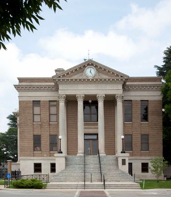
Limestone County, Administrative county in Alabama, United States

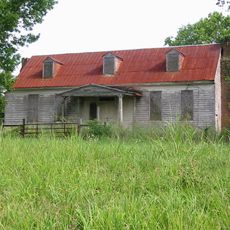
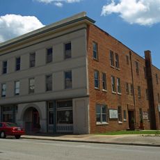
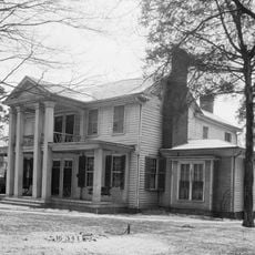
Limestone County is an administrative division spanning rural and small urban areas across northwest Alabama near the Tennessee River. The landscape consists of rolling terrain with scattered communities and open countryside.

The county was established in 1818 on land formerly inhabited by the Chickasaw and Cherokee nations. This creation marked the state's expansion into the northern territories during its early years.

The Tennessee Valley Old Time Fiddlers Convention draws musicians who gather annually to play traditional string instruments and folk songs. This event reveals how residents have kept their connection to roots music alive across generations.

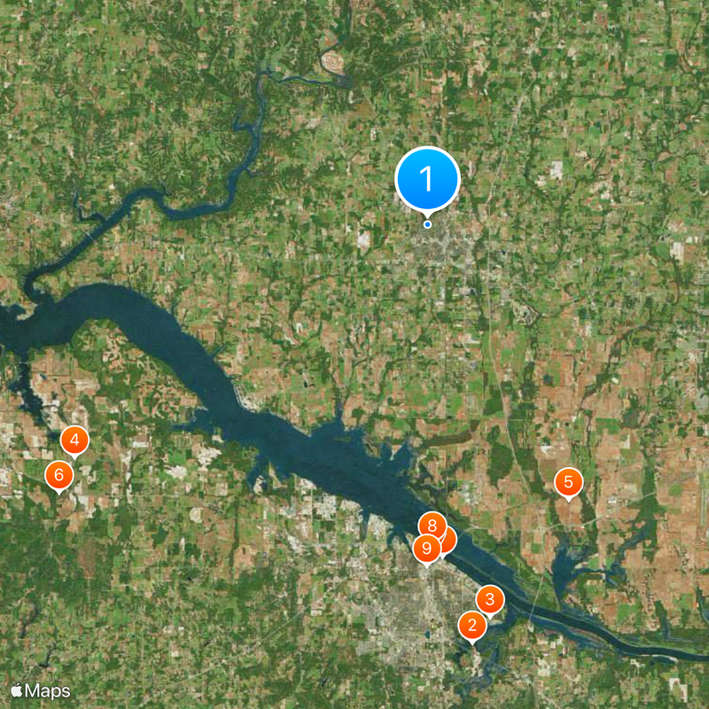
Major highways such as Interstate 65 and U.S. Highway 72 cross the county and provide connections to larger cities in the region. Having a vehicle is helpful since communities are spread across the area.

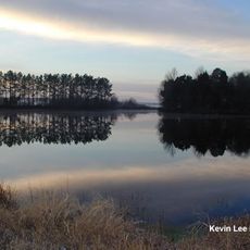
The name comes from a creek with a distinctive bed composed entirely of solid limestone rock. This geological feature has shaped the landscape and remains visible throughout the region.

Location: Alabama

Inception: February 6, 1818

Capital city: Athens

Shares border with: Giles County, Madison County, Lauderdale County, Morgan County, Lawrence County, Lincoln County

Website: https://limestonecounty-al.gov

GPS coordinates: 34.81111,-86.98417

Latest update: December 20, 2025 01:49

Photos
Around this place
Wheeler National Wildlife Refuge
United States of America

Wheeler National Wildlife Refuge

28.4 km
United States of America

Point Mallard Park

26.8 km
Bride's Hill
United States of America

Bride's Hill

28.5 km
Belle Mina
United States of America

Belle Mina

20.8 km
Joseph Wheeler Plantation
United States of America

Joseph Wheeler Plantation

30.7 km
Captain William J. Hudson "Steamboat Bill" Memorial Bridges
United States of America

Captain William J. Hudson "Steamboat Bill" Memorial Bridges

22.4 km
United States of America

Norfolk Southern Tennessee River Bridge

21.5 km
Princess Theatre
United States of America

Princess Theatre

23 km
Rhea-McEntire House
United States of America

Rhea-McEntire House

21.6 km
United States of America

Beaver Creek Swamp

23.5 km
State Bank Building, Decatur Branch
United States of America

State Bank Building, Decatur Branch

21.9 km
Cotaco Opera House
United States of America

Cotaco Opera House

23.2 km
Governor George Smith Houston House
United States of America

Governor George Smith Houston House

789 m
Boxwood Plantation Slave Quarter
United States of America

Boxwood Plantation Slave Quarter

23 km
Sulphur Trestle Fort Site
United States of America

Sulphur Trestle Fort Site

11.2 km
Thomas Holland House
United States of America

Thomas Holland House

31.4 km
United States of America

Delano Park

23.8 km
United States of America

Cotton Hill

11.6 km
United States of America

Blackburn House

6.8 km
United States of America

Limestone County Confederate Soldiers Memorial

1.5 km
United States of America

Pillow-Bethel House

27.9 km
United States of America

Blue and Gray Museum

22.1 km
Robert Beaty Historic District
United States of America

Robert Beaty Historic District

2 km
Robert Donnell House
United States of America

Robert Donnell House

2.2 km
Athens Courthouse Square Commercial Historic District
United States of America

Athens Courthouse Square Commercial Historic District

1.5 km
New Decatur–Albany Historic District
United States of America

New Decatur–Albany Historic District

23.2 km
Bank Street–Old Decatur Historic District
United States of America

Bank Street–Old Decatur Historic District

22.4 km
East Old Town Historic District
United States of America

East Old Town Historic District

21.7 km
Show the full map
Reviews

Visited this place? Tap the stars to rate it and share your experience / photos with the community! Try now! You can cancel it anytime.

« Limestone County - Administrative county in Alabama, United States » is provided by Around Us (aroundus.com). Images and texts are derived from Wikimedia project under a Creative Commons license. You are allowed to copy, distribute, and modify copies of this page, under the conditions set by the license, as long as this note is clearly visible.

Discover hidden gems everywhere you go!

From secret cafés to breathtaking viewpoints, skip the crowded tourist spots and find places that match your style. Our app makes it easy with voice search, smart filtering, route optimization, and insider tips from travelers worldwide. Download now for the complete mobile experience.

Around Us App Screenshot

A unique approach to discovering new places

Le Figaro

All the places worth exploring

France Info

A tailor-made excursion in just a few clicks

20 Minutes