Enable Location

We need your location to show you interesting places around you

Discover nearby places

Find interesting locations and hidden gems around you

Precise directions

Get accurate directions and distances to places

Your location is never shared with other users. It's only used when you tap the location button.

Monroe County

Log in to your account

Start exploring — it's free

Trusted by 62,937 travelers worldwide

Continue with Google
Continue with Apple
or

We will send you a code to connect

By continuing, you accept our Terms and Conditions and our Privacy Policy

Check your inbox

We've sent a pincode in your inbox. Please enter the code below.

Discussion Reviews 1 Photos
13.6k Popularity

Monroe County, Administrative division in Wisconsin, United States

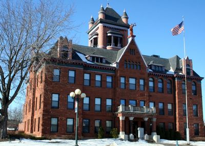
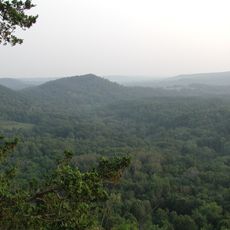
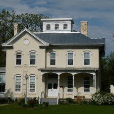
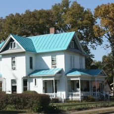
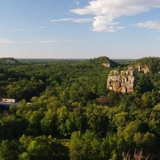
Monroe County is an administrative division in western Wisconsin featuring forests, farmland, and scattered small towns. The county spans multiple townships and operates a central government office in Sparta.

The county was founded in 1854 and named after James Monroe, the nation's fifth president. Its development was shaped by early settlement patterns and later influenced by the arrival of military installations.

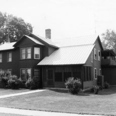
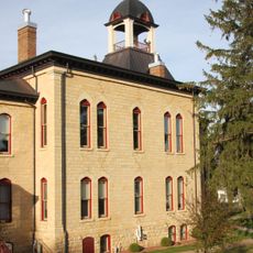
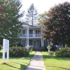
Small communities throughout the region center their social life around local schools and libraries. These gathering places form the backbone of neighborhood identity and bring people together regularly.

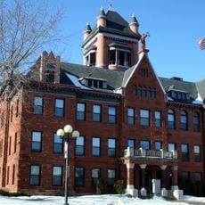
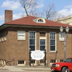
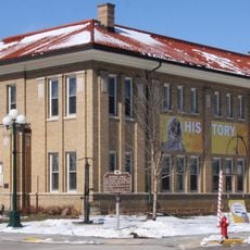
Visitors can find information about county services and resources at the main administrative building in Sparta. Libraries and community centers throughout the region provide good starting points for learning about local activities and services.

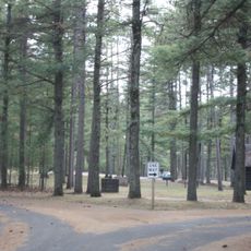
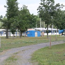
The county is home to Fort McCoy, a major Army training facility where tens of thousands of soldiers train each year. This military installation significantly influences both the local economy and the daily life of many residents.

The community of curious travelers

AroundUs brings together thousands of curated places, local tips, and hidden gems, enriched daily by 60,000 contributors worldwide.

Start exploring
GPS coordinates
43.94168,-90.63973
Latest update
December 7, 2025 20:25
Around this place
Shrine of Our Lady of Guadalupe
United States of America

Shrine of Our Lady of Guadalupe

48.3 km
Wildcat Mountain State Park
United States of America

Wildcat Mountain State Park

27.8 km
Necedah National Wildlife Refuge
United States of America

Necedah National Wildlife Refuge

42.6 km
Black River State Forest
United States of America

Black River State Forest

42.9 km
Hamlin Garland House
United States of America

Hamlin Garland House

35.7 km
Benjamin Boorman House
United States of America

Benjamin Boorman House

48.3 km
Vernon County Courthouse
United States of America

Vernon County Courthouse

47.5 km
Skumsrud Heritage Farm
United States of America

Skumsrud Heritage Farm

42 km
Our Lady of Sorrows Chapel
United States of America

Our Lady of Sorrows Chapel

48.9 km
Monroe County Courthouse
United States of America

Monroe County Courthouse

13.8 km
Juneau County Courthouse
United States of America

Juneau County Courthouse

48.1 km
Black River Falls Public Library
United States of America

Black River Falls Public Library

42.8 km
Sparta Free Library
United States of America

Sparta Free Library

13.8 km
Black Hawk Powwow Grounds
United States of America

Black Hawk Powwow Grounds

44.5 km
Tomah Public Library
United States of America

Tomah Public Library

11.7 km
Palmer Brothers Octagons
United States of America

Palmer Brothers Octagons

35.7 km
William G. and Anne Williams House
United States of America

William G. and Anne Williams House

13.5 km
St. John's Episcopal Church
United States of America

St. John's Episcopal Church

13.8 km
Albert and Theresa Marx House
United States of America

Albert and Theresa Marx House

24.8 km
Sparta Masonic Temple
United States of America

Sparta Masonic Temple

13.9 km
Masonic Temple Building
United States of America

Masonic Temple Building

47.4 km
Frank Eugene Nichols House
United States of America

Frank Eugene Nichols House

48.2 km
George Apfel Round Barn
United States of America

George Apfel Round Barn

32.3 km
23rd and 24th Streets Historic District
United States of America

23rd and 24th Streets Historic District

48.7 km
Cranberry Discovery Center
United States of America

Cranberry Discovery Center

23.8 km
Mill Bluff State Park
United States of America

Mill Bluff State Park

26 km
FAST Fiberglass Mold Graveyard
United States of America

FAST Fiberglass Mold Graveyard

11.8 km
Wegner Grotto
United States of America

Wegner Grotto

22.6 km
Show the full map
Reviews
Share your experience

No review yet

Discussions
Start a discussion...

No discussion yet

« Monroe County - Administrative division in Wisconsin, United States » is provided by Around Us (aroundus.com). Images and texts are derived from Wikimedia project under a Creative Commons license. You are allowed to copy, distribute, and modify copies of this page, under the conditions set by the license, as long as this note is clearly visible.

Discover hidden gems everywhere you go!

From secret cafés to breathtaking viewpoints, skip the crowded tourist spots and find places that match your style. Our app makes it easy with voice search, smart filtering, route optimization, and insider tips from travelers worldwide. Download now for the complete mobile experience.

Around Us App Screenshot

A unique approach to discovering new places

Le Figaro

All the places worth exploring

France Info

A tailor-made excursion in just a few clicks

20 Minutes

Around Us
Travel Guide & Maps
Download

Send to your phone

QR Code
1

Open the camera app on your mobile.

2

Point at the QR code with your camera. A notification will appear.

3

Tap the notification to open the link.