
Lewisburg, town in Ohio
Location: Preble County
Elevation above the sea: 304 m
Website: http://lewisburg.net
GPS coordinates: 39.84920,-84.54060
Latest update: April 2, 2025 12:42

Hara Arena
24.5 km
Fort Jefferson
22 km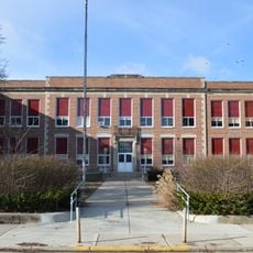
Eaton High School
15.9 km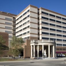
Dayton Veterans Affairs Medical Center
26.3 km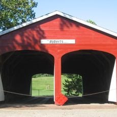
Roberts Covered Bridge
14.7 km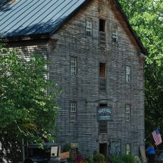
Bear's Mill
28.7 km
Perkins
22.1 km
Abram Gaar House and Farm
27.9 km
Sycamore State Park
17.6 km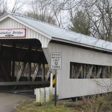
Brubaker Covered Bridge
22 km
Christopher C. Walker House and Farm
20.1 km
Leftwich House
28.8 km
Forest Hills Country Club
28.6 km
Benjamin Franklin Coppess House
28.8 km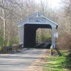
Christman Covered Bridge
13.2 km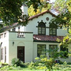
Reeveston Place Historic District
28.6 km
Aullwood House and Garden
22.7 km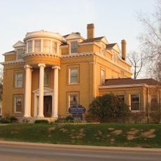
East Main Street-Glen Miller Park Historic District
27.9 km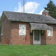
Studabaker-Scott House and Beehive School
25.9 km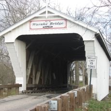
Warnke Covered Bridge
3.5 km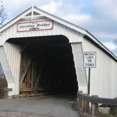
Geeting Covered Bridge
4.9 km
Acton House
14.4 km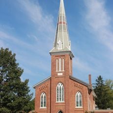
Emmanuel's Evangelical Lutheran Church
28.6 km
Harshman Covered Bridge
25.5 km
Preble County Historical Society and Nature Reserve
21.3 km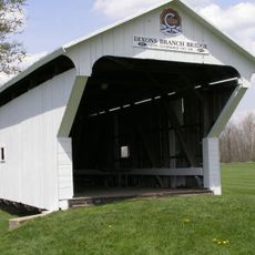
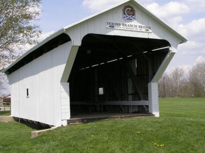
Dixon's Branch Bridge
583 m
Saint Clair Street Bridge
14.8 km
Wright Company Factory
28.2 kmVisited this place? Tap the stars to rate it and share your experience / photos with the community! Try now! You can cancel it anytime.
Discover hidden gems everywhere you go!
From secret cafés to breathtaking viewpoints, skip the crowded tourist spots and find places that match your style. Our app makes it easy with voice search, smart filtering, route optimization, and insider tips from travelers worldwide. Download now for the complete mobile experience.

A unique approach to discovering new places❞
— Le Figaro
All the places worth exploring❞
— France Info
A tailor-made excursion in just a few clicks❞
— 20 Minutes