Jamaica Plain

Log in to your account

AroundUs is a community-driven map of interesting places, built by curious explorers like you. It grows with every review, story, and photo you share.
Connect to save your favorite spots, contribute locations, and create personalized routes.
Continue with Google
Continue with Apple
Continue with X
Continue with Facebook
Continue with email
By continuing, you accept our Terms and Conditions and our Privacy Policy
Create an account
Add to collection
Map
Suggest a change
Share

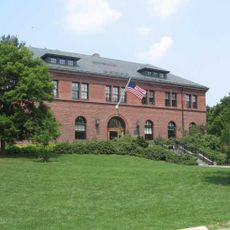
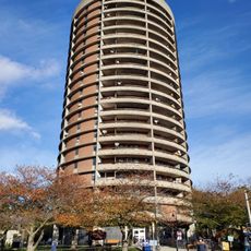
Jamaica Plain, Residential neighborhood and gay village in Boston, United States

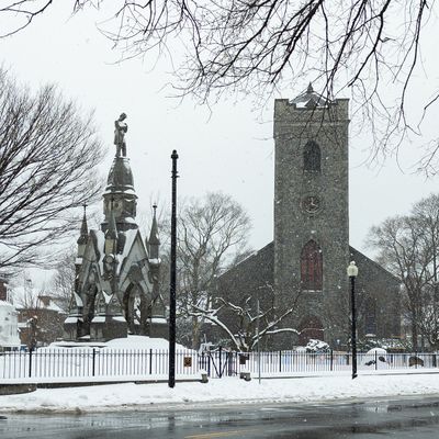
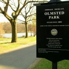
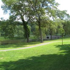
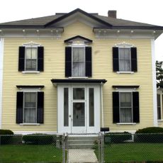
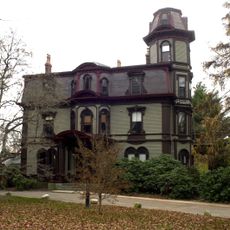
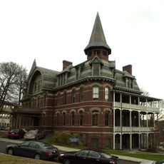
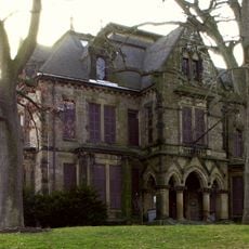
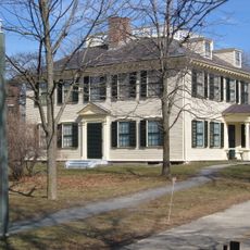
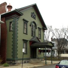
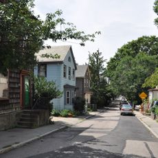
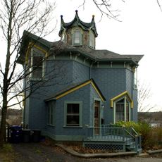
Jamaica Plain is a residential neighborhood and gay village in southwestern Boston that encompasses several parks and Jamaica Pond. The area stretches between the historic downtown and western suburbs and is lined with tree-shaded streets of Victorian wooden houses and three-story apartment buildings.

The neighborhood grew into one of America's first streetcar suburbs after the Civil War, when new transit lines allowed working and middle-class families to settle here. In the 1970s, artists and queer residents moved into the then-affordable houses and reshaped the area.

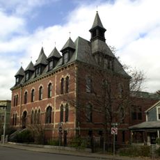
The neighborhood identity shows along Centre Street, where used bookstores stand next to Latin American restaurants and weekly farmers markets take place. This mix of small shops and community initiatives reflects the open atmosphere that has drawn queer residents for decades.

Centre Street forms the main axis with cafes, grocery stores and bookshops that are easy to reach on foot. The green spaces around Jamaica Pond invite walking, while the Orange Line connection provides quick access to downtown.

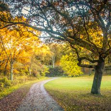
The Arnold Arboretum, a 281-acre (114 hectare) tree park managed by Harvard University, lies within the neighborhood boundaries and holds over 16,000 plants from temperate climates. Visitors can walk through the collections organized by botanical families at no charge.

Location: Boston

Shares border with: Roxbury

Website: http://cityofboston.gov/neighborhoods/jamaicaplain.asp

GPS coordinates: 42.30750,-71.11306

Latest update: December 13, 2025 17:26

Photos
Around this place
Emerald Necklace
United States of America

Emerald Necklace

2.1 km
Arnold Arboretum
United States of America

Arnold Arboretum

1.3 km
Franklin Park Zoo
United States of America

Franklin Park Zoo

2 km
Forest Hills Cemetery
United States of America

Forest Hills Cemetery

1.6 km
Franklin Park
United States of America

Franklin Park

1.7 km
Larz Anderson Park
United States of America

Larz Anderson Park

2 km
Larz Anderson Auto Museum
United States of America

Larz Anderson Auto Museum

1.8 km
Ellen Swallow Richards House
United States of America

Ellen Swallow Richards House

582 m
Death and the Sculptor
United States of America

Death and the Sculptor

1.2 km
Adams-Nervine Asylum
United States of America

Adams-Nervine Asylum

1.1 km
Dimock Community Health Center Complex
United States of America

Dimock Community Health Center Complex

1.9 km
Pinebank Mansion
United States of America

Pinebank Mansion

1.4 km
Firemen's Memorial
United States of America

Firemen's Memorial

1.7 km
Abbotsford
United States of America

Abbotsford

2 km
Loring-Greenough House
United States of America

Loring-Greenough House

283 m
District 13 Police Station
United States of America

District 13 Police Station

511 m
Putterham School
United States of America

Putterham School

1.8 km
Home for Aged Couples
United States of America

Home for Aged Couples

1.6 km
Bowditch School
United States of America

Bowditch School

554 m
Eliot Hall
United States of America

Eliot Hall

403 m
Sumner Hill Historic District
United States of America

Sumner Hill Historic District

264 m
Monument Square Historic District
United States of America

Monument Square Historic District

309 m
White Place Historic District
United States of America

White Place Historic District

1.8 km
Doris Bunte Apartments
United States of America

Doris Bunte Apartments

1.6 km
Blessed Sacrament Church
United States of America

Blessed Sacrament Church

1.8 km
House at 17 Cranston Street
United States of America

House at 17 Cranston Street

1.5 km
Connolly Branch Library
United States of America

Connolly Branch Library

1.5 km
Jamaica Plain Branch Library
United States of America

Jamaica Plain Branch Library

201 m
Show the full map
Reviews

Visited this place? Tap the stars to rate it and share your experience / photos with the community! Try now! You can cancel it anytime.

« Jamaica Plain - Residential neighborhood and gay village in Boston, United States » is provided by Around Us (aroundus.com). Images and texts are derived from Wikimedia project under a Creative Commons license. You are allowed to copy, distribute, and modify copies of this page, under the conditions set by the license, as long as this note is clearly visible.

Discover hidden gems everywhere you go!

From secret cafés to breathtaking viewpoints, skip the crowded tourist spots and find places that match your style. Our app makes it easy with voice search, smart filtering, route optimization, and insider tips from travelers worldwide. Download now for the complete mobile experience.

Around Us App Screenshot

A unique approach to discovering new places

Le Figaro

All the places worth exploring

France Info

A tailor-made excursion in just a few clicks

20 Minutes