Minneota, city in Minnesota, United States
Location: Lyon County
Elevation above the sea: 356 m
Website: http://minneotamn.com
GPS coordinates: 44.55889,-95.98556
Latest update: March 16, 2025 03:49
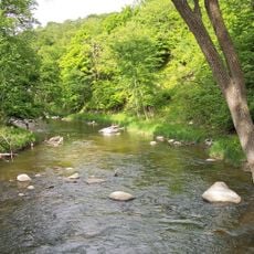
Camden State Park
21.8 km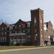
Danebod
34.4 km
Upper Sioux Agency State Park
46.2 km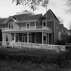
Andrew John Volstead House
44.9 km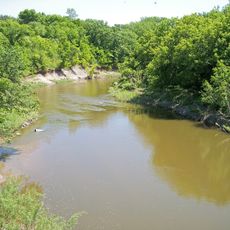
Lac qui Parle State Park
52.9 km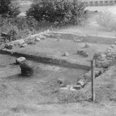
Lac qui Parle Mission
52 km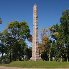
Camp Release State Monument
45.7 km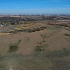
Hole in the Mountain Prairie
44 km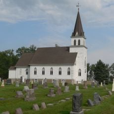
Singsaas Lutheran Church
38.2 km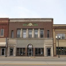
Old Masonic Temple
19.9 km
Milroy State Bank Building
37.7 km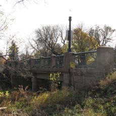
Bridge No. 5151-Marshall
19.6 km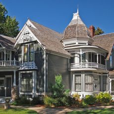
Lund–Hoel House
28.4 km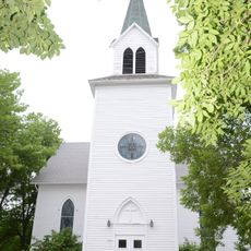
St. Paul's Evangelical Lutheran Church & Parsonage
272 m
Laura Ingalls Wilder Museum
55.3 km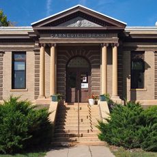
Madison Carnegie Library
53.1 km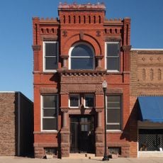
Dawson Bank Museum
41.6 km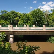
Bridge No. 5083-Marshall
20 km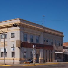
Canby Commercial Historic District
28.5 km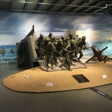
Fagen Fighters WWII Museum
40.1 km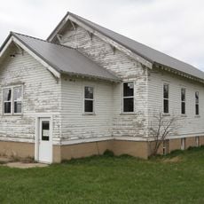
Drammen Farmers' Club
40.7 km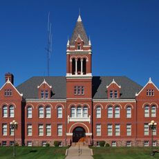
Lac Qui Parle County Courthouse
53.4 km
Lou T. Fisk
52.7 km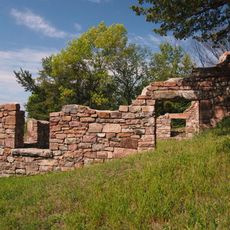
Joseph Brown House Ruins
54.7 km
Lake Cochrane State Recreation Area
42.6 km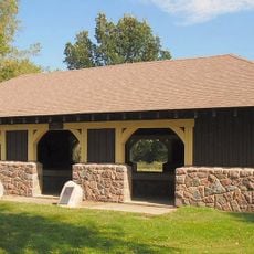
Lac qui Parle State Park WPA/Rustic Style Historic District
52 km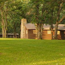
Lake Shetek State Park WPA/Rustic Style Group Camp
55.2 km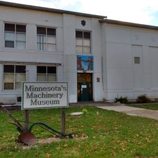
Minnesota Machinery Museum
32.5 kmVisited this place? Tap the stars to rate it and share your experience / photos with the community! Try now! You can cancel it anytime.
Discover hidden gems everywhere you go!
From secret cafés to breathtaking viewpoints, skip the crowded tourist spots and find places that match your style. Our app makes it easy with voice search, smart filtering, route optimization, and insider tips from travelers worldwide. Download now for the complete mobile experience.

A unique approach to discovering new places❞
— Le Figaro
All the places worth exploring❞
— France Info
A tailor-made excursion in just a few clicks❞
— 20 Minutes