Upper Sioux Agency State Park

Log in to your account

AroundUs is a community-driven map of interesting places, built by curious explorers like you. It grows with every review, story, and photo you share.
Connect to save your favorite spots, contribute locations, and create personalized routes.
By continuing, you accept our Terms and Conditions and our Privacy Policy
Add to collection
Map
Suggest a change
Share

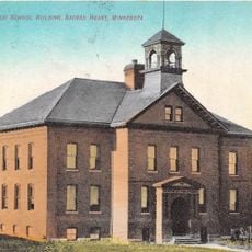
Upper Sioux Agency State Park, Archaeological site and former state park in Yellow Medicine County, Minnesota.

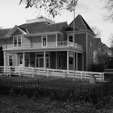
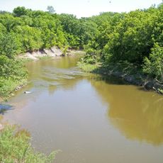
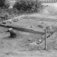
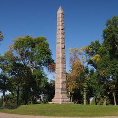
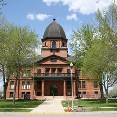
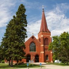
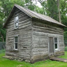
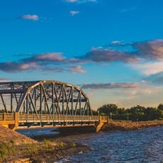
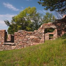
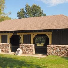
Upper Sioux Agency State Park is an archaeological site with prehistoric remains and historic structures spread across land along the Minnesota River. The grounds contain evidence of past settlements and occupation dating back generations.

The site began in 1854 when the U.S. government created the Yellow Medicine Agency to manage affairs with Dakota tribes under a treaty agreement. This establishment marked the beginning of governmental oversight and administration in the region.

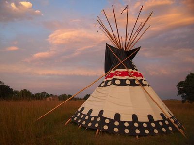
The site holds deep meaning for the Dakota people as a place connected to their ancestors and history in this region. Today the Upper Sioux Community maintains the land as part of their heritage and identity.

The park is no longer open for public visits as of 2024, having been transferred to the Upper Sioux Community. Visitors interested in the site should contact the community directly to learn about any guided access opportunities or cultural programs.

For 61 years the site operated as a state park before the Minnesota legislature transferred full ownership to the Upper Sioux Community in 2023. This land return represents a significant step in restoring control of the space to those with the deepest ties to its history.

Location: Sioux Agency Township

Inception: 1963

Address: 5908 Highway 67, Granite Falls, MN 56241

Phone: +13205644777

Email: uppersiouxagency.statepark@state.mn.us

Website: https://dnr.state.mn.us/state_parks/park.html?id=spk00277

GPS coordinates: 44.73472,-95.45673

Latest update: December 12, 2025 09:06

Photos
Around this place
Camden State Park
United States of America

Camden State Park

55.2 km
Andrew John Volstead House
United States of America

Andrew John Volstead House

10.6 km
Lac qui Parle State Park
United States of America

Lac qui Parle State Park

47.4 km
Lac qui Parle Mission
United States of America

Lac qui Parle Mission

46.6 km
Camp Release State Monument
United States of America

Camp Release State Monument

31.9 km
Renville County Courthouse and Jail
United States of America

Renville County Courthouse and Jail

37.7 km
Redwood County Poor Farm
United States of America

Redwood County Poor Farm

33.2 km
Church of St. Bridget-Catholic
United States of America

Church of St. Bridget-Catholic

58.4 km
Endreson Cabin
United States of America

Endreson Cabin

57.1 km
Sacred Heart Public School
United States of America

Sacred Heart Public School

10 km
Old Masonic Temple
United States of America

Old Masonic Temple

41.4 km
Milroy State Bank Building
United States of America

Milroy State Bank Building

36 km
Bridge No. 5151-Marshall
United States of America

Bridge No. 5151-Marshall

42.4 km
Lund–Hoel House
United States of America

Lund–Hoel House

64.6 km
Lundring Service Station
United States of America

Lundring Service Station

64.8 km
St. Paul's Evangelical Lutheran Church & Parsonage
United States of America

St. Paul's Evangelical Lutheran Church & Parsonage

46 km
St. Cornelia's Episcopal Church
United States of America

St. Cornelia's Episcopal Church

42.8 km
Laura Ingalls Wilder Museum
United States of America

Laura Ingalls Wilder Museum

56.9 km
Dawson Bank Museum
United States of America

Dawson Bank Museum

51.9 km
Bridge No. 5083-Marshall
United States of America

Bridge No. 5083-Marshall

41.1 km
Sabin S. Murdock House
United States of America

Sabin S. Murdock House

54.7 km
Canby Commercial Historic District
United States of America

Canby Commercial Historic District

64.9 km
Fagen Fighters WWII Museum
United States of America

Fagen Fighters WWII Museum

8.2 km
Milan Bridge
United States of America

Milan Bridge

57.7 km
Joseph Brown House Ruins
United States of America

Joseph Brown House Ruins

11.4 km
Lac qui Parle State Park WPA/Rustic Style Historic District
United States of America

Lac qui Parle State Park WPA/Rustic Style Historic District

46.6 km
Camden State Park CCC/WPA/Rustic Style Historic District
United States of America

Camden State Park CCC/WPA/Rustic Style Historic District

55 km
Minnesota Machinery Museum
United States of America

Minnesota Machinery Museum

13.7 km
Show the full map
Reviews

Visited this place? Tap the stars to rate it and share your experience / photos with the community! Try now! You can cancel it anytime.

« Upper Sioux Agency State Park - Archaeological site and former state park in Yellow Medicine County, Minnesota » is provided by Around Us (aroundus.com). Images and texts are derived from Wikimedia project under a Creative Commons license. You are allowed to copy, distribute, and modify copies of this page, under the conditions set by the license, as long as this note is clearly visible.

Discover hidden gems everywhere you go!

From secret cafés to breathtaking viewpoints, skip the crowded tourist spots and find places that match your style. Our app makes it easy with voice search, smart filtering, route optimization, and insider tips from travelers worldwide. Download now for the complete mobile experience.

Around Us App Screenshot

A unique approach to discovering new places

Le Figaro

All the places worth exploring

France Info

A tailor-made excursion in just a few clicks

20 Minutes