Enable Location

We need your location to show you interesting places around you

Discover nearby places

Find interesting locations and hidden gems around you

Precise directions

Get accurate directions and distances to places

Your location is never shared with other users. It's only used when you tap the location button.

Martinsburg

Log in to your account

Start exploring — it's free

Trusted by 62,413 travelers worldwide

Continue with Google
Continue with Apple
or

We will send you a code to connect

By continuing, you accept our Terms and Conditions and our Privacy Policy

Check your inbox

We've sent a pincode in your inbox. Please enter the code below.

Martinsburg, County seat in Eastern Panhandle, West Virginia, United States.

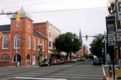
Martinsburg is a town and county seat of Berkeley County in the Shenandoah Valley of West Virginia. The settlement sits at a crossroads of transport routes at an elevation of roughly 450 feet (138 meters) and serves as a regional center for industry and agriculture.

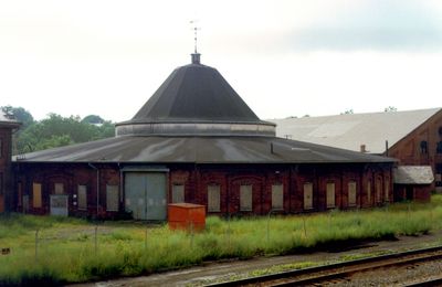
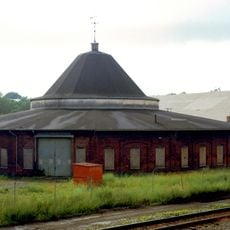
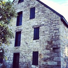
The Virginia General Assembly founded the town in December 1778 during the War of Independence. Railroad workshops of the Baltimore and Ohio Railroad developed in the 19th century and became in 1877 the starting point of a nationwide labor dispute that brought in federal troops.

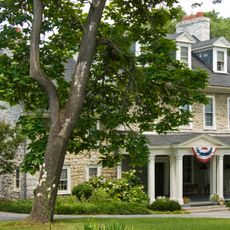
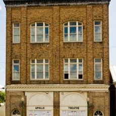
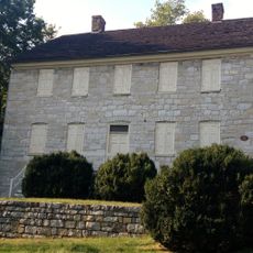
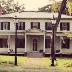
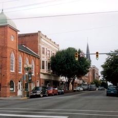
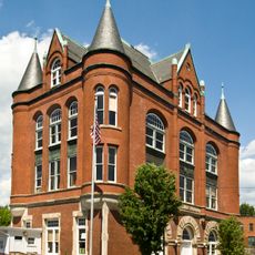
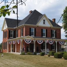
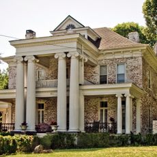
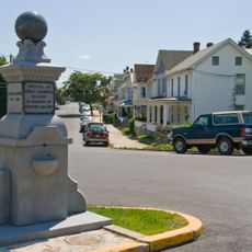
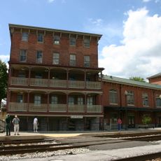
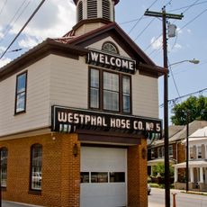
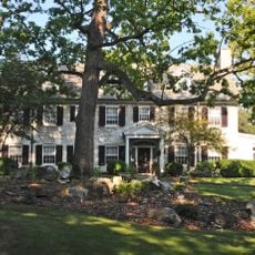
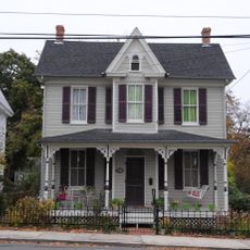
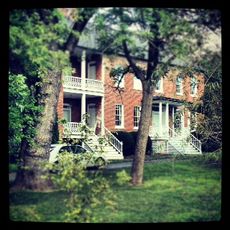
The town takes its name from Colonel Thomas Bryan Martin, whose family once held large tracts of land in the region. Today the streetscape shows brick buildings from the 19th century and wide streets that recall the railroad era.

The interstate highway 81 runs northeast toward Maryland and makes the approach by car straightforward. The town center can be explored on foot, with many shops and services within easy walking distance.

The first post office in the territory of what would become West Virginia opened here in 1792. This early facility shows how important the place was as a crossroads even before the railroad era.

The community of curious travelers

AroundUs brings together thousands of curated places, local tips, and hidden gems, enriched daily by 60,000 contributors worldwide.

Start exploring
Location
Inception
December 17, 1778
Elevation above the sea
138 m
GPS coordinates
39.45639,-77.96778
Latest update
December 13, 2025 16:19
Around this place
Baltimore and Ohio Railroad Martinsburg Shops
United States of America

Baltimore and Ohio Railroad Martinsburg Shops

872 m
Aspen Hall
United States of America

Aspen Hall

1 km
Apollo Civic Theatre
United States of America

Apollo Civic Theatre

542 m
Adam Stephen House
United States of America

Adam Stephen House

639 m
Boydville
United States of America

Boydville

556 m
Downtown Martinsburg Historic District
United States of America

Downtown Martinsburg Historic District

197 m
Van Metre Ford Stone Bridge
United States of America

Van Metre Ford Stone Bridge

3.7 km
Federal Aviation Administration Records Center
United States of America

Federal Aviation Administration Records Center

1 km
Rauch House
United States of America

Rauch House

3.8 km
Green Hill Cemetery Historic District
United States of America

Green Hill Cemetery Historic District

1.1 km
Abell-Kilbourn House
United States of America

Abell-Kilbourn House

1.5 km
Boydville Historic District
United States of America

Boydville Historic District

527 m
Boomtown Historic District
United States of America

Boomtown Historic District

1.1 km
Tuscarora Creek Historic District
United States of America

Tuscarora Creek Historic District

1.5 km
John Evans House
United States of America

John Evans House

3.5 km
Baltimore and Ohio and Related Industries Historic District
United States of America

Baltimore and Ohio and Related Industries Historic District

763 m
East Martinsburg Historic District
United States of America

East Martinsburg Historic District

1.2 km
United States of America

Rosemont Historic District

845 m
George W. F. Mulliss House
United States of America

George W. F. Mulliss House

3.3 km
United States of America

West Martinsburg Historic District

1.1 km
Martinsburg Mining, Manufacturing & Improvement Co. Historic District
United States of America

Martinsburg Mining, Manufacturing & Improvement Co. Historic District

912 m
South Water Street Historic District
United States of America

South Water Street Historic District

647 m
Nathan VanMetre House
United States of America

Nathan VanMetre House

3.7 km
United States of America

Oatesdale Park

1.2 km
United States of America

Central Theatre

447 m

Wonderment Puppet Theater

94 m
United States of America

WSG Gallery

371 m
United States of America

Waterfall

732 m
Show the full map
« Martinsburg - County seat in Eastern Panhandle, West Virginia, United States » is provided by Around Us (aroundus.com). Images and texts are derived from Wikimedia project under a Creative Commons license. You are allowed to copy, distribute, and modify copies of this page, under the conditions set by the license, as long as this note is clearly visible.

Discover hidden gems everywhere you go!

From secret cafés to breathtaking viewpoints, skip the crowded tourist spots and find places that match your style. Our app makes it easy with voice search, smart filtering, route optimization, and insider tips from travelers worldwide. Download now for the complete mobile experience.

Around Us App Screenshot

A unique approach to discovering new places

Le Figaro

All the places worth exploring

France Info

A tailor-made excursion in just a few clicks

20 Minutes

Around Us
Travel Guide & Maps
Download

Send to your phone

QR Code
1

Open the camera app on your mobile.

2

Point at the QR code with your camera. A notification will appear.

3

Tap the notification to open the link.