Enable Location

We need your location to show you interesting places around you

Discover nearby places

Find interesting locations and hidden gems around you

Precise directions

Get accurate directions and distances to places

Your location is never shared with other users. It's only used when you tap the location button.

Clarksburg

Log in to your account

Start exploring — it's free

Trusted by 63,636 travelers worldwide

Continue with Google
Continue with Apple
or

We will send you a code to connect

By continuing, you accept our Terms and Conditions and our Privacy Policy

Check your inbox

We've sent a pincode in your inbox. Please enter the code below.

Discussion Reviews 3 Photos
60.5k Popularity

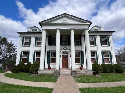
Clarksburg, Administrative center in Harrison County, West Virginia, United States.

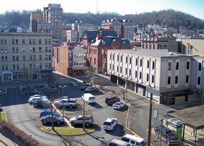
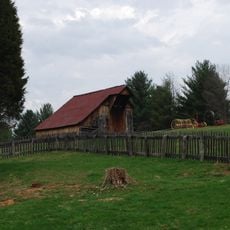
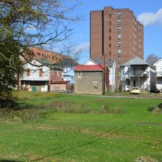
Clarksburg is the administrative center of Harrison County in West Virginia and sits along the West Fork River at an elevation of roughly 1000 feet (300 meters). The town spreads along the river in a hilly landscape in the north-central part of the state, surrounded by wooded ridges and winding valleys.

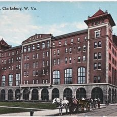
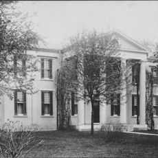
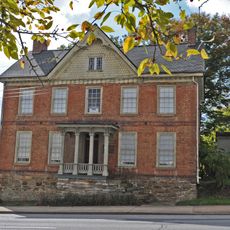
The Virginia General Assembly founded the settlement in 1785 and named it after General George Rogers Clark, a commander in the Revolutionary War. During the 19th century the place developed into an important trading center in the region before later becoming the seat of county government.

The name honors George Rogers Clark, an officer from the American Revolution, whose military success inspired the founders of the settlement. Today this connection to the past appears less in daily life than in official names and occasional events where visitors learn about local beginnings.

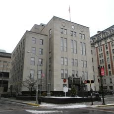
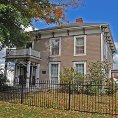
Visitors looking to orient themselves in the center will find the main public buildings and services in the older part along the riverbank. Parks and pathways along the water offer an easy way to move between different neighborhoods.

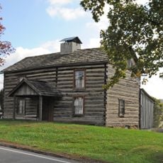
Near the town lie the Oak Mounds, archaeological sites from the Hopewell culture dating between the 1st and 10th centuries. These earthworks show traces of early settlement and stand today as a quiet reminder of the long history of the region before European arrival.

The community of curious travelers

AroundUs brings together thousands of curated places, local tips, and hidden gems, enriched daily by 60,000 contributors worldwide.

Start exploring
Location
Inception
1785
Elevation above the sea
303 m
Shares border with
Fairmont
GPS coordinates
39.28056,-80.34444
Latest update
December 17, 2025 07:35
Around this place
United States of America

Oak Mounds

2.6 km
Waldo Hotel
United States of America

Waldo Hotel

375 m
Watters Smith Memorial State Park
United States of America

Watters Smith Memorial State Park

13.4 km
Waldomore
United States of America

Waldomore

394 m
United States of America

Simpson Creek Covered Bridge

6.4 km
United States of America

Fletcher Covered Bridge

12 km
United States of America

Edgewood Manor

3.1 km
Clarksburg Downtown Historic District
United States of America

Clarksburg Downtown Historic District

445 m
Levi Shinn House
United States of America

Levi Shinn House

11.9 km
United States of America

Bridgeport Lamp Chimney Company Bowstring Concrete Arch Bridge

7.6 km
Governor Joseph Johnson House
United States of America

Governor Joseph Johnson House

7.4 km
Shinnston Historic District
United States of America

Shinnston Historic District

13.4 km
United States of America

Quiet Dell School

7.4 km
United States of America

Buffalo Creek Reservoir

11.3 km
Glen Elk Historic District
United States of America

Glen Elk Historic District

627 m
Daniel Bassel House
United States of America

Daniel Bassel House

13.1 km
Quality Hill Historic District
United States of America

Quality Hill Historic District

1.1 km
Stealey-Goff-Vance House
United States of America

Stealey-Goff-Vance House

786 m
Trinity Memorial Methodist Episcopal Church
United States of America

Trinity Memorial Methodist Episcopal Church

815 m
United States of America

Nathan Goff, Jr. House

215 m
United States of America

Hinkle-Deegan Park

8.7 km
United States of America

Quality Hill Historic District

1.7 km
United States of America

Bridgeport Country Club

6.7 km
United States of America

Bel Meadow Country Club

12.2 km
United States of America

Clarksburg Country Club

4.6 km
United States of America

Hide A Way Golf Course

7.2 km
United States of America

Sunny Croft Country Club

4.2 km

The Clarksburg Amphitheater

1.9 km
Show the full map
Reviews
Share your experience

No review yet

Discussions
Start a discussion...

No discussion yet

« Clarksburg - Administrative center in Harrison County, West Virginia, United States » is provided by Around Us (aroundus.com). Images and texts are derived from Wikimedia project under a Creative Commons license. You are allowed to copy, distribute, and modify copies of this page, under the conditions set by the license, as long as this note is clearly visible.

Discover hidden gems everywhere you go!

From secret cafés to breathtaking viewpoints, skip the crowded tourist spots and find places that match your style. Our app makes it easy with voice search, smart filtering, route optimization, and insider tips from travelers worldwide. Download now for the complete mobile experience.

Around Us App Screenshot

A unique approach to discovering new places

Le Figaro

All the places worth exploring

France Info

A tailor-made excursion in just a few clicks

20 Minutes

Around Us
Travel Guide & Maps
Download

Send to your phone

QR Code
1

Open the camera app on your mobile.

2

Point at the QR code with your camera. A notification will appear.

3

Tap the notification to open the link.