Chest opened
+${chestReward.xp} XP
Explorer
NOUVEAU ×${chestReward.collectible.quantity}
tapez pour fermer

See the monuments around you in AR Open chests in the app

Around Us is built for your phone — point your camera at the streets and discover the monuments and places around you in augmented reality. Around Us is built for your phone — chests unlock when you walk, explore and capture nearby places.

Enable Location

We need your location to show you interesting places around you

Discover nearby places

Find interesting locations and hidden gems around you

Precise directions

Get accurate directions and distances to places

Your location is never shared with other users. It's only used when you tap the location button.

Tangier

Log in to your account

Start exploring — it's free

Trusted by 86,204 travelers worldwide

Continue with Google
Continue with Apple
or

We will send you a code to connect

By continuing, you accept our Terms and Conditions and our Privacy Policy

Check your inbox

We've sent a pincode in your inbox. Please enter the code below.

Discussion Reviews 2 Photos
3.5k Popularity

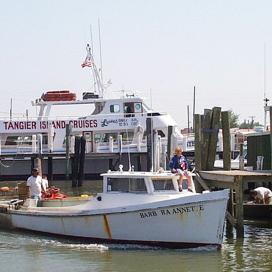
Tangier, Island town in Accomack County, Virginia

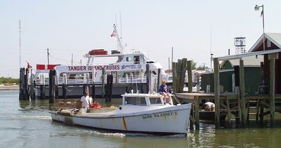
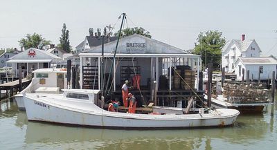
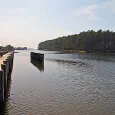
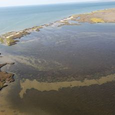
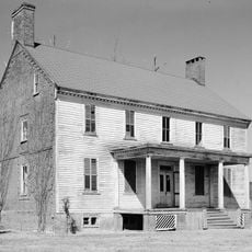
Tangier is situated on three sandy ridges in the Chesapeake Bay, with bridges connecting the sections and tidal waterways and marshland surrounding the island. The layout spreads across these ridges with buildings distributed throughout rather than concentrated in a single center.

The island served as a strategic base for British forces during the War of 1812, providing shelter for escaped slaves seeking freedom. This period of occupation and refuge left lasting imprints on the community and its connections to the English-speaking world.

Residents speak a distinctive dialect shaped by historical British influences that sets them apart from mainland communities. This local speech pattern remains a strong marker of identity in daily conversations and social gatherings.

Reaching the island requires taking a ferry from Crisfield or Onancock, or using the small local airport for arrival. Plan ahead since transport options are limited and schedules should be confirmed before traveling.

The island has lost significant landmass since 1850 due to erosion and rising water levels, continuously reshaping its geography. This ongoing transformation gives the place a distinctive character shaped by the reality of living with environmental change.

The community of curious travelers

AroundUs brings together thousands of curated places, local tips, and hidden gems, enriched daily by 60,000 contributors worldwide.
Start exploring
Location
Elevation above the sea
1 m
GPS coordinates
37.82624,-75.99160
Latest update
September 12, 2026 06:31
Around this place
Janes Island State Park
United States of America

Janes Island State Park

14.1 mi
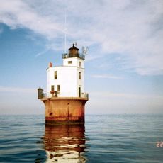
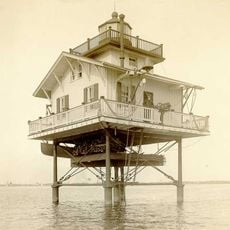
Holland Island Bar Light
United States of America

Holland Island Bar Light

17.7 mi
Smith Point Light
United States of America

Smith Point Light

11.1 mi
Glenn Martin National Wildlife Refuge
United States of America

Glenn Martin National Wildlife Refuge

13.4 mi
Solomons Lump Light
United States of America

Solomons Lump Light

15.4 mi
United States of America

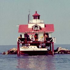
Watts Island Light

6.1 mi
Make Peace
United States of America

Make Peace

13.8 mi
Great Wicomico River Light
United States of America

Great Wicomico River Light

15.2 mi
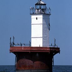
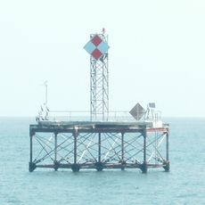
Tangier Sound Light
United States of America

Tangier Sound Light

2.8 mi
Somers Cove Light
United States of America

Somers Cove Light

11.5 mi
Cokesbury Church
United States of America

Cokesbury Church

15.2 mi
Reedville Historic District
United States of America

Reedville Historic District

15.6 mi
Nelson Homestead
United States of America

Nelson Homestead

14.5 mi
United States of America

Mason House

18.5 mi
Crisfield Historic District
United States of America

Crisfield Historic District

13.3 mi
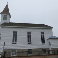
St. Peter's Methodist Episcopal Church
United States of America

St. Peter's Methodist Episcopal Church

16.2 mi
United States of America

Pungoteague Creek Light

12.4 mi
Watkins Point Farm
United States of America

Watkins Point Farm

15.3 mi
Onancock Historic District
United States of America

Onancock Historic District

15.6 mi
Ward Brothers' House and Shop
United States of America

Ward Brothers' House and Shop

12.8 mi
St. Paul's Protestant Episcopal Church
United States of America

St. Paul's Protestant Episcopal Church

17.8 mi
Kerr Place
United States of America

Kerr Place

15.5 mi
Capt. Leonard Tawes House
United States of America

Capt. Leonard Tawes House

13.1 mi
Shepherd's Plain
United States of America

Shepherd's Plain

16 mi
Cullen Homestead Historic District
United States of America

Cullen Homestead Historic District

15.7 mi
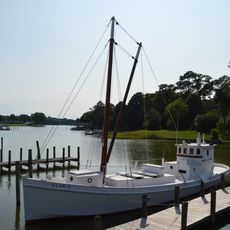
Elva C
United States of America

Elva C

15.6 mi
Reedville Fishermen's Museum
United States of America

Reedville Fishermen's Museum

15.6 mi
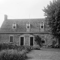
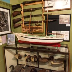
Tangier History Museum
United States of America

Tangier History Museum

80 ft
Show the full map
Reviews
Share your experience

No review yet

Discussions
Start a discussion...

No discussion yet

« Tangier - Island town in Accomack County, Virginia » is provided by Around Us (aroundus.com). Images and texts are derived from Wikimedia project under a Creative Commons license. You are allowed to copy, distribute, and modify copies of this page, under the conditions set by the license, as long as this note is clearly visible.

Discover hidden gems everywhere you go!

From secret cafés to breathtaking viewpoints, skip the crowded tourist spots and find places that match your style. Our app makes it easy with voice search, smart filtering, route optimization, and insider tips from travelers worldwide. Download now for the complete mobile experience.
Around Us App Screenshot

A unique approach to discovering new places

Le Figaro

All the places worth exploring

France Info

A tailor-made excursion in just a few clicks

20 Minutes

Around Us
Travel Guide & Maps
Download

Send to your phone

QR Code
1

Open the camera app on your mobile.

2

Point at the QR code with your camera. A notification will appear.

3

Tap the notification to open the link.