
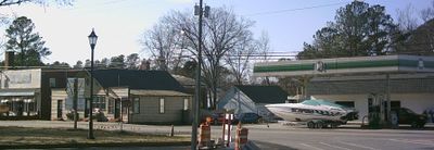
Surry, town in Virginia
Location: Surry County
Inception: 1652
Elevation above the sea: 37 m
GPS coordinates: 37.13580,-76.83530
Latest update: March 17, 2025 03:15
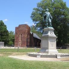
Jamestown
9.6 km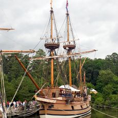
Jamestown Settlement
11 km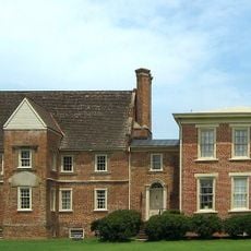
Bacon's Castle
9.9 km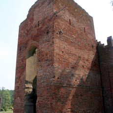
Jamestown Church
9.5 km
Colonial National Historical Park
10.5 km
Jamestown Settlement
10.9 km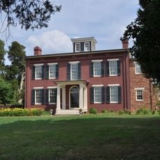
Chippokes Plantation State Park
9.6 km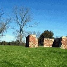
Green Spring Plantation
13.8 km
Lake Matoaka
17.6 km
Jamestown Glasshouse
10.5 km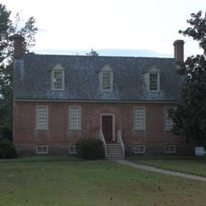
Smith's Fort Plantation
3.4 km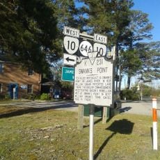
Swann's Point Plantation
7 km
Old Brick Church
10 km
Dendron Swamp Natural Area Preserve
16 km
Fort Huger
15.9 km
Dancing Point
13.2 km
Enos House
1.7 km
Pleasant Point
6.8 km
Powhatan
15.3 km
Pinewoods
15.1 km
Amblers
11 km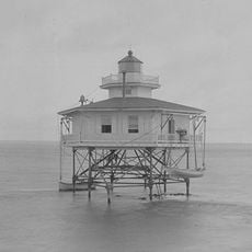
Deepwater Shoals Light
17.6 km
Walnut Valley (Highgate, Virginia)
8.4 km
Glebe House of Southwark Parish
6.2 km
Rich Neck Farm
7.5 km
Surry County Courthouse Complex
156 m
Second Southwark Church Archeological Site
4.5 km
Melville
4.1 kmReviews
Visited this place? Tap the stars to rate it and share your experience / photos with the community! Try now! You can cancel it anytime.
Discover hidden gems everywhere you go!
From secret cafés to breathtaking viewpoints, skip the crowded tourist spots and find places that match your style. Our app makes it easy with voice search, smart filtering, route optimization, and insider tips from travelers worldwide. Download now for the complete mobile experience.

A unique approach to discovering new places❞
— Le Figaro
All the places worth exploring❞
— France Info
A tailor-made excursion in just a few clicks❞
— 20 Minutes