Dancing Point, Archaeological site on James River in Charles City County, Virginia.
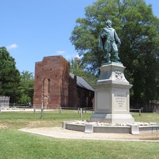
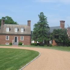
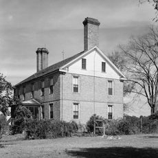
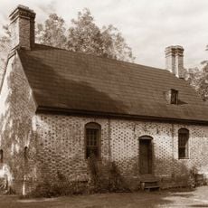
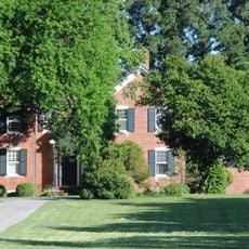
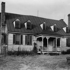
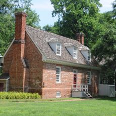
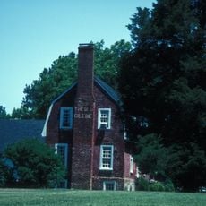
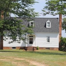
Dancing Point is an archaeological site on the north bank of the James River in Charles City County, Virginia, spanning about 146 acres of land. The property sits where the Chickahominy River meets the James and contains layered remains from prehistoric Native American occupations and later Euro-American settlements.
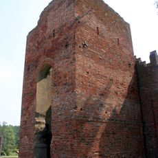
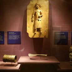
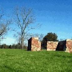
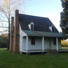
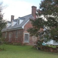
The site contains evidence of Native American occupation during the Archaic and Woodland periods, showing thousands of years of use before European arrival. Colonial settlers established themselves here in the 1600s and 1700s, adding their own structures and changing the landscape.
The name Dancing Point reflects gatherings and celebrations that once took place here, marking its role as a meeting point for different communities. The layered evidence across the property shows how various groups connected to and used this riverside location over time.
The site is listed in the National Register of Historic Places, which provides official recognition and protection of its archaeological significance. The riverside location means varying ground conditions and proximity to water, so wear sturdy footwear and come prepared for changing weather.
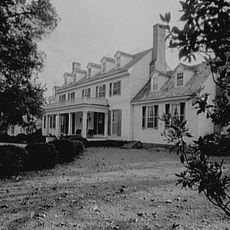
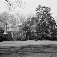
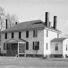
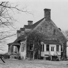
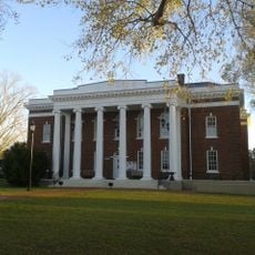
The property contains the only surviving architectural work by designer Thomas Church in Virginia, created in the 1970s with minimal design elements integrated into the landscape. This house, originally designed by Robert W. Stewart, represents a rare blend of modern residential design at an important archaeological location.
The community of curious travelers
AroundUs brings together thousands of curated places, local tips, and hidden gems, enriched daily by 60,000 contributors worldwide.