Enable Location

We need your location to show you interesting places around you

Discover nearby places

Find interesting locations and hidden gems around you

Precise directions

Get accurate directions and distances to places

Your location is never shared with other users. It's only used when you tap the location button.

Fort Powhatan

Log in to your account

Start exploring — it's free

Trusted by 63,125 travelers worldwide

Continue with Google
Continue with Apple
or

We will send you a code to connect

By continuing, you accept our Terms and Conditions and our Privacy Policy

Check your inbox

We've sent a pincode in your inbox. Please enter the code below.

Fort Powhatan
Discussion Reviews 1 Photos
1.8k Popularity

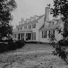
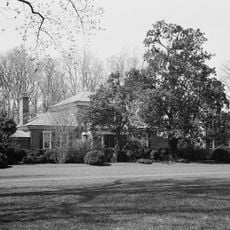
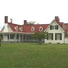
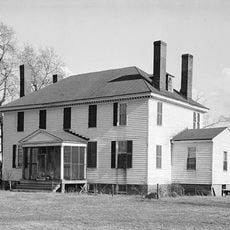
Fort Powhatan, River defense fort at Windmill Hill near Garysville, Virginia, US

Fort Powhatan is a fortification on the south bank of the James River featuring earthwork structures, brick magazines, and a water battery oriented toward the waterway. The site includes multiple gun emplacements and stone buildings integrated into the river bluff's natural contours.

The site was originally built in 1779 as Hood's Battery, expanding to eight heavy guns by 1781. Federal improvements in the early 1800s increased capacity to 13 guns, making it a significant defensive position for river control.

The fort takes its name from the Powhatan people, who controlled this region through a network of allied tribes before English colonization arrived. This naming choice keeps alive the memory of the indigenous inhabitants and their former dominance over the James River valley.

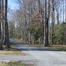
The fortification sits on private property owned by a gun club, with a historical marker positioned along Virginia State Route 10 for public reference. Access is limited to the marker and exterior views, making it best explored from roadside vantage points.

In 1863, United States Colored Troops stationed here successfully repelled a Confederate cavalry attack at the fort. This engagement stands out as an early example of Black soldiers playing a decisive role in major Civil War combat.

The community of curious travelers

AroundUs brings together thousands of curated places, local tips, and hidden gems, enriched daily by 60,000 contributors worldwide.

Start exploring
Inception
1776
GPS coordinates
37.27000,-77.07750
Latest update
December 14, 2025 12:25
Around this place
Show the full map
Reviews
Share your experience

No review yet

Discussions
Start a discussion...

No discussion yet

« Fort Powhatan - River defense fort at Windmill Hill near Garysville, Virginia, US » is provided by Around Us (aroundus.com). Images and texts are derived from Wikimedia project under a Creative Commons license. You are allowed to copy, distribute, and modify copies of this page, under the conditions set by the license, as long as this note is clearly visible.

Discover hidden gems everywhere you go!

From secret cafés to breathtaking viewpoints, skip the crowded tourist spots and find places that match your style. Our app makes it easy with voice search, smart filtering, route optimization, and insider tips from travelers worldwide. Download now for the complete mobile experience.

Around Us App Screenshot

A unique approach to discovering new places

Le Figaro

All the places worth exploring

France Info

A tailor-made excursion in just a few clicks

20 Minutes

Around Us
Travel Guide & Maps
Download

Send to your phone

QR Code
1

Open the camera app on your mobile.

2

Point at the QR code with your camera. A notification will appear.

3

Tap the notification to open the link.