Chest opened
+${chestReward.xp} XP
Explorer
NOUVEAU ×${chestReward.collectible.quantity}
tapez pour fermer

See the monuments around you in AR Open chests in the app

Around Us is built for your phone — point your camera at the streets and discover the monuments and places around you in augmented reality. Around Us is built for your phone — chests unlock when you walk, explore and capture nearby places.

Enable Location

We need your location to show you interesting places around you

Discover nearby places

Find interesting locations and hidden gems around you

Precise directions

Get accurate directions and distances to places

Your location is never shared with other users. It's only used when you tap the location button.

Log in to your account

Start exploring — it's free

Trusted by 84,335 travelers worldwide

Continue with Google
Continue with Apple
or

We will send you a code to connect

By continuing, you accept our Terms and Conditions and our Privacy Policy

Check your inbox

We've sent a pincode in your inbox. Please enter the code below.

Discussion Reviews Photo
7.7k Popularity

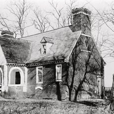
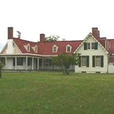
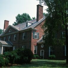
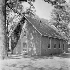
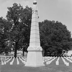
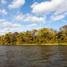
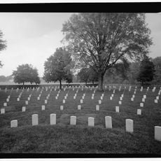
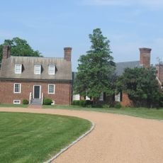
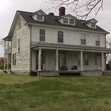
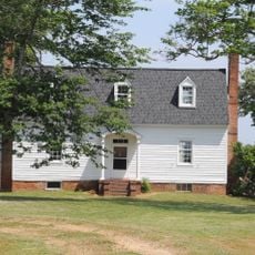
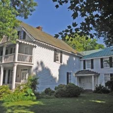
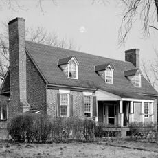
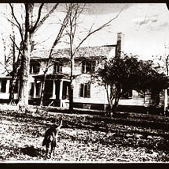
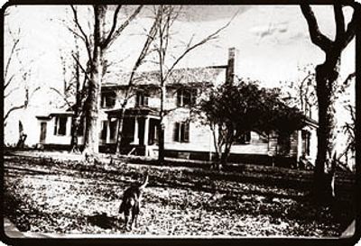
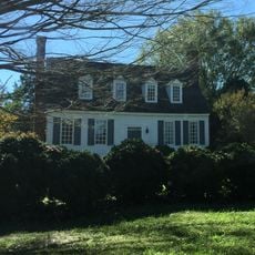
Flowerdew Hundred Plantation, Colonial plantation in Prince George County, United States

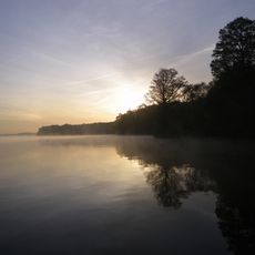
Flowerdew Hundred is a 1,000-acre plantation stretching along the James River, with agricultural land and more than 60 archaeological dig sites that span 11,000 years of human occupation. The excavations reveal layers of settlement from early hunter-gatherers through the colonial period and beyond.

Sir George Yeardley founded the plantation in 1619 and named it after his wife Temperance Flowerdew. He built the first windmill in British North America there, which began operating in 1621.

The site reveals how English settlers, African inhabitants, and Native Americans shaped daily life here over many centuries. Walking through the grounds, visitors can grasp how these communities coexisted and influenced each other.

Wear sturdy shoes when exploring the grounds, as paths cross agricultural fields and archaeological sites. The artifacts from excavations are housed at the University of Virginia Library if you want to see the finds up close.

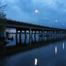
During the Civil War in 1864, one of the longest floating bridges ever built was constructed at the James River to transport General Grant's troops across the waterway. This engineering feat was a remarkable achievement for military logistics of that era.

The community of curious travelers

AroundUs brings together thousands of curated places, local tips, and hidden gems, enriched daily by 60,000 contributors worldwide.
Start exploring
GPS coordinates
37.29611,-77.10417
Latest update
August 23, 2026 21:57
Around this place
Benjamin Harrison Memorial Bridge
United States of America

Benjamin Harrison Memorial Bridge

10.9 km
Malvern Hill
United States of America

Malvern Hill

16.6 km
Appomattox Manor
United States of America

Appomattox Manor

15.5 km
Evelynton
United States of America

Evelynton

5.8 km
James River National Wildlife Refuge
United States of America

James River National Wildlife Refuge

3.9 km
Westover Church
United States of America

Westover Church

6.2 km
City Point National Cemetery
United States of America

City Point National Cemetery

17.2 km
Presquile National Wildlife Refuge
United States of America

Presquile National Wildlife Refuge

15.7 km
Glendale National Cemetery
United States of America

Glendale National Cemetery

19.4 km
Martin's Brandon Church
United States of America

Martin's Brandon Church

9.4 km
Dancing Point
United States of America

Dancing Point

17.8 km
Upper Weyanoke
United States of America

Upper Weyanoke

2.7 km
Hardens
United States of America

Hardens

14.4 km
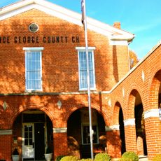
Prince George County Courthouse Historic District
United States of America

Prince George County Courthouse Historic District

18.2 km
Charles City County Courthouse
United States of America

Charles City County Courthouse

5.8 km
Olivet Presbyterian Church
United States of America

Olivet Presbyterian Church

20.8 km
Margots
United States of America

Margots

19.1 km
City Point Historic District
United States of America

City Point Historic District

15.3 km
United States of America

Flood Marker of 1771

18.2 km
Poplar Springs
United States of America

Poplar Springs

14.9 km
Nance-Major House and Store
United States of America

Nance-Major House and Store

6 km
Glebe of Westover Parish
United States of America

Glebe of Westover Parish

8.6 km
Cedar Ridge
United States of America

Cedar Ridge

20.6 km
Downtown Hopewell Historic District
United States of America

Downtown Hopewell Historic District

16.3 km
Hopewell Municipal Building
United States of America

Hopewell Municipal Building

16.3 km
Jordan Point Light
United States of America

Jordan Point Light

10.7 km
Montpelier
United States of America

Montpelier

14.6 km
Enon Library
United States of America

Enon Library

20.2 km
Show the full map
Reviews
Share your experience

No review yet

Discussions
Start a discussion...

No discussion yet

« Flowerdew Hundred Plantation - Colonial plantation in Prince George County, United States » is provided by Around Us (aroundus.com). Images and texts are derived from Wikimedia project under a Creative Commons license. You are allowed to copy, distribute, and modify copies of this page, under the conditions set by the license, as long as this note is clearly visible.

Discover hidden gems everywhere you go!

From secret cafés to breathtaking viewpoints, skip the crowded tourist spots and find places that match your style. Our app makes it easy with voice search, smart filtering, route optimization, and insider tips from travelers worldwide. Download now for the complete mobile experience.
Around Us App Screenshot

A unique approach to discovering new places

Le Figaro

All the places worth exploring

France Info

A tailor-made excursion in just a few clicks

20 Minutes

Around Us
Travel Guide & Maps
Download

Send to your phone

QR Code
1

Open the camera app on your mobile.

2

Point at the QR code with your camera. A notification will appear.

3

Tap the notification to open the link.