Enable Location

We need your location to show you interesting places around you

Discover nearby places

Find interesting locations and hidden gems around you

Precise directions

Get accurate directions and distances to places

Your location is never shared with other users. It's only used when you tap the location button.

Lower Brandon Plantation

Log in to your account

Start exploring — it's free

Trusted by 61,981 travelers worldwide

Continue with Google
Continue with Apple
or

We will send you a code to connect

By continuing, you accept our Terms and Conditions and our Privacy Policy

Check your inbox

We've sent a pincode in your inbox. Please enter the code below.

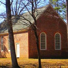
Lower Brandon Plantation, Colonial plantation in Prince George County, United States.

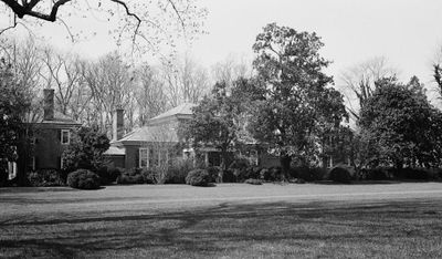
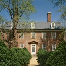
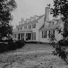
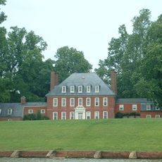
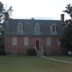
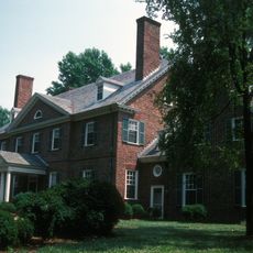
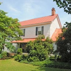
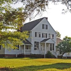
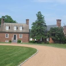
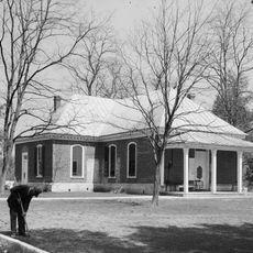
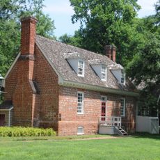
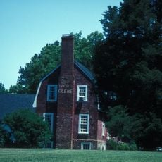
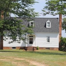
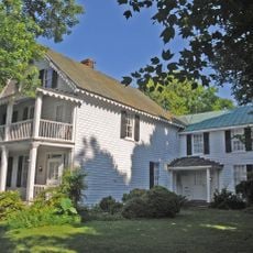
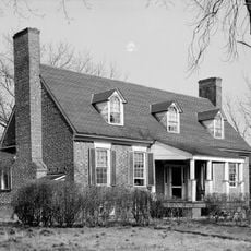
Lower Brandon Plantation is a large estate on the south shore of the James River in Prince George County, spanning roughly 4,500 acres. The mansion was built in 1765 using brick and Palladian design principles, serving as the centerpiece of this historic property.

The estate was established in 1616 by Captain John Martin, one of the original leaders of the Virginia Colony at Jamestown, who received a large land patent. The mansion was later built by Nathaniel Harrison II, marking the family's transition to greater prosperity and prominence in colonial Virginia.

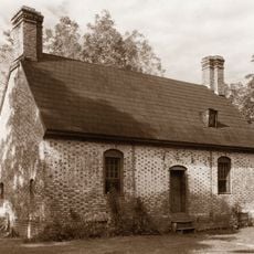
The house is named after Brandon, England, where the Harrison family had earlier connections, and the Palladian design reflects the refined taste of Virginia's colonial gentry. Walking through the rooms, you can sense how the family wanted to display their wealth and status to visitors during the 18th century.

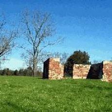
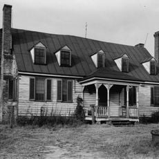
The property continues to operate as a working farm, with hundreds of acres devoted to growing soybeans, wheat, and barley. Visitors should be aware that active agricultural operations may limit access to certain areas depending on the season.

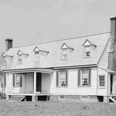
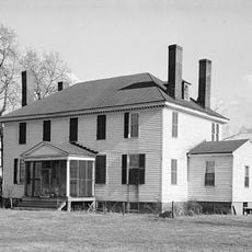
The mansion preserves original furnishings and decorative elements from the 1760s that remain on display today. These interior details offer rare glimpses into how a wealthy colonial family actually lived in their home during that era.

The community of curious travelers

AroundUs brings together thousands of curated places, local tips, and hidden gems, enriched daily by 60,000 contributors worldwide.

Start exploring
GPS coordinates
37.25750,-76.99340
Latest update
December 9, 2025 18:41
Around this place
Jamestown Settlement
United States of America

Jamestown Settlement

18.7 km
Berkeley Plantation
United States of America

Berkeley Plantation

18.1 km
Sherwood Forest Plantation
United States of America

Sherwood Forest Plantation

7.9 km
Westover Plantation
United States of America

Westover Plantation

18 km
Flowerdew Hundred Plantation
United States of America

Flowerdew Hundred Plantation

10.7 km
Green Spring Plantation
United States of America

Green Spring Plantation

16.9 km
Greenway Plantation
United States of America

Greenway Plantation

14.4 km
Weyanoke, Virginia
United States of America

Weyanoke, Virginia

7.4 km
Merchant's Hope
United States of America

Merchant's Hope

18.6 km
Smith's Fort Plantation
United States of America

Smith's Fort Plantation

18.6 km
Evelynton
United States of America

Evelynton

16.4 km
James River National Wildlife Refuge
United States of America

James River National Wildlife Refuge

12.1 km
Piney Grove at Southall's Plantation
United States of America

Piney Grove at Southall's Plantation

13 km
Swann's Point Plantation
United States of America

Swann's Point Plantation

16.8 km
Woodburn (Charles City, Virginia)
United States of America

Woodburn (Charles City, Virginia)

15.1 km
Fort Powhatan
United States of America

Fort Powhatan

7.6 km
Dancing Point
United States of America

Dancing Point

7.1 km
Upper Weyanoke
United States of America

Upper Weyanoke

8.4 km
Pinewoods
United States of America

Pinewoods

14.8 km
Windsor Castle
United States of America

Windsor Castle

18.2 km
Charles City County Courthouse
United States of America

Charles City County Courthouse

11.7 km
Margots
United States of America

Margots

11 km
United States of America

Lott Cary Birth Site

16.1 km
Glebe House of Southwark Parish
United States of America

Glebe House of Southwark Parish

15.2 km
Poplar Springs
United States of America

Poplar Springs

13.5 km
Nance-Major House and Store
United States of America

Nance-Major House and Store

12 km
Glebe of Westover Parish
United States of America

Glebe of Westover Parish

12.8 km
Second Southwark Church Archeological Site
United States of America

Second Southwark Church Archeological Site

16.8 km
Show the full map
« Lower Brandon Plantation - Colonial plantation in Prince George County, United States » is provided by Around Us (aroundus.com). Images and texts are derived from Wikimedia project under a Creative Commons license. You are allowed to copy, distribute, and modify copies of this page, under the conditions set by the license, as long as this note is clearly visible.

Discover hidden gems everywhere you go!

From secret cafés to breathtaking viewpoints, skip the crowded tourist spots and find places that match your style. Our app makes it easy with voice search, smart filtering, route optimization, and insider tips from travelers worldwide. Download now for the complete mobile experience.

Around Us App Screenshot

A unique approach to discovering new places

Le Figaro

All the places worth exploring

France Info

A tailor-made excursion in just a few clicks

20 Minutes

Around Us
Travel Guide & Maps
Download

Send to your phone

QR Code
1

Open the camera app on your mobile.

2

Point at the QR code with your camera. A notification will appear.

3

Tap the notification to open the link.