Warrenton, city in North Carolina, US
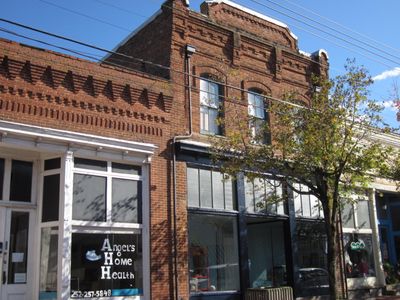
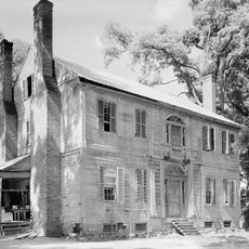
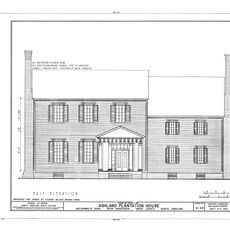
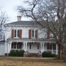
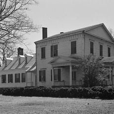
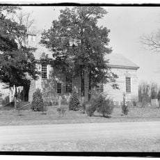
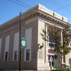
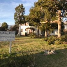
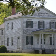
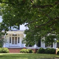
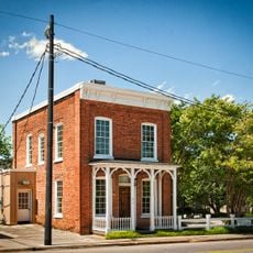
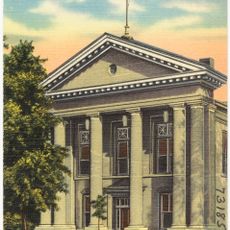
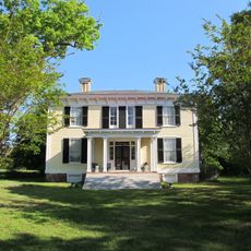
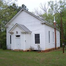
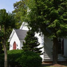
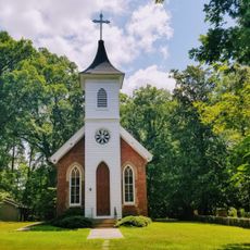
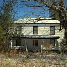
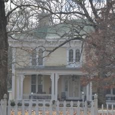
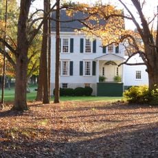
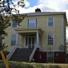
Warrenton is a small town in Warren County, North Carolina, with over 300 buildings listed in the National Register Historic District that display various architectural styles from earlier periods. The streets are mostly quiet, with a few small shops and cafes serving the local community and offering visitors a glimpse into daily life in a rural town.
Warrenton was founded in 1779 and quickly developed into an important trade and education center for the region. The town is known for the work of builder Jacob Holt, who created many Greek revival and Italianate style houses that still shape the town's appearance today.
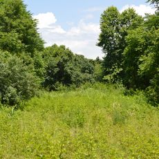
Warrenton is known as the Eastern Bluebird capital of the United States because the town has the highest concentration of these colorful birds. Visitors and residents can set up bluebird houses or take part in local festivals that celebrate these special animals.
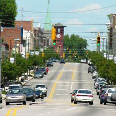
The best time to explore Warrenton is on quieter weekdays, when you can walk through the streets and view the historic buildings at your own pace. The town is flat and easy to navigate on foot, especially in the Historic District where most attractions are concentrated.
The town's defining event is the annual Bluebird Fest in April, where nature enthusiasts gather to celebrate the unusual concentration of these birds and learn about their habitats. This yearly celebration draws visitors from far away and has put Warrenton on the national map for birdwatchers.
The community of curious travelers
AroundUs brings together thousands of curated places, local tips, and hidden gems, enriched daily by 60,000 contributors worldwide.