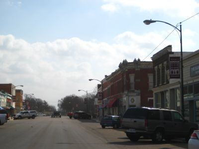
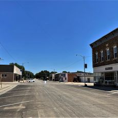
Minneapolis, Administrative center in Minnesota, United States.
Minneapolis spreads across both sides of the Mississippi River, containing around 22 lakes and more than 170 parks throughout the city. These water bodies and green spaces are woven into the city's layout and shape how the place looks from street to street.
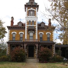
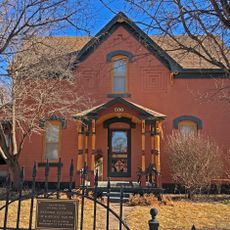
The settlement began in 1849 with squatters who arrived without official permission, gained legal recognition in 1855, and became an incorporated city in 1856. These early years shaped how the place was established as an independent community.
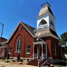
The local arts institutions define how residents and visitors experience culture today, with contemporary galleries and theater productions that draw crowds year-round. These spaces have become gathering places where people spend their free time exploring what local and international artists create.
The Metro Transit system connects the city through light rail and bus lines, while Interstate 35W provides access to surrounding areas. Getting around works best with public transit or a car depending on which neighborhoods you want to explore.
By 1870, the city had become the world's main flour milling hub, powered by the rushing water at Saint Anthony Falls. This industrial role shaped how the economy grew and what drew people to settle here.
The community of curious travelers
AroundUs brings together thousands of curated places, local tips, and hidden gems, enriched daily by 60,000 contributors worldwide.