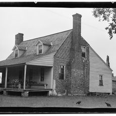
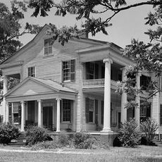
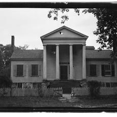
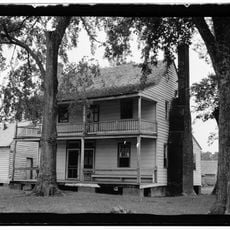
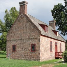
Columbia, town in Tyrrell County, North Carolina, United States of America
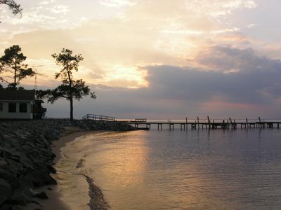
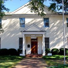
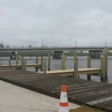
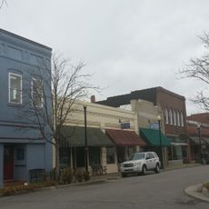
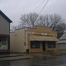
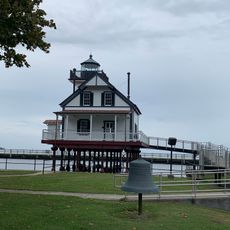
Columbia is a small town along the Scuppernong River in eastern North Carolina with a slower pace of life and many spots to enjoy nature. The downtown area has local shops, art galleries, and restaurants, while a river walk provides quiet views of the water and a place to sit and rest.
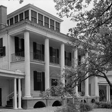
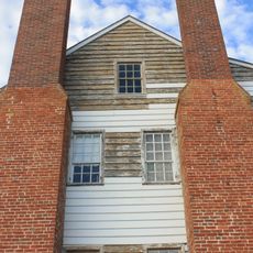
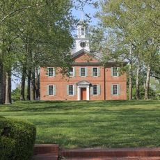
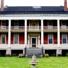
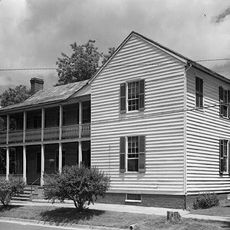
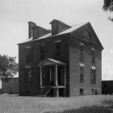
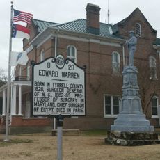
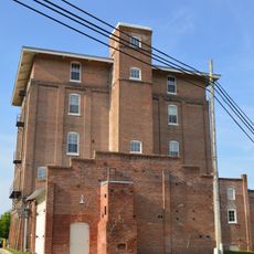
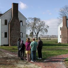
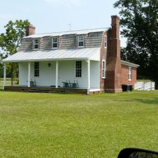
Originally called Elizabethtown, the town became the county seat around 1799 and grew as an important port for shipping timber, fish, and crops. Its location on the river made it a key center for trade and economic activity in the region.
The town's name reflects its connection to American independence, and residents maintain traditions like the annual river festival that brings the community together. Local life centers on the water and the natural surroundings, where fishing, boating, and gatherings along the river remain important to how people spend their time.
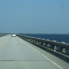
The town is easy to reach by car and usually has plenty of parking available throughout the area. It serves as a good stopping point for those exploring the coast and nearby Pocosin Lakes National Wildlife Refuge or continuing to the Outer Banks.
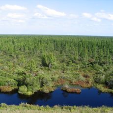
The surrounding wetlands and cypress swamps are now protected as part of Pocosin Lakes National Wildlife Refuge, a large area popular with birdwatchers. Thousands of swans and geese arrive in winter, while bears, deer, and many bird species can be seen year-round.
The community of curious travelers
AroundUs brings together thousands of curated places, local tips, and hidden gems, enriched daily by 60,000 contributors worldwide.