Enable Location

We need your location to show you interesting places around you

Discover nearby places

Find interesting locations and hidden gems around you

Precise directions

Get accurate directions and distances to places

Your location is never shared with other users. It's only used when you tap the location button.

Tyrrell County

Log in to your account

Start exploring — it's free

Trusted by 62,036 travelers worldwide

Continue with Google
Continue with Apple
or

We will send you a code to connect

By continuing, you accept our Terms and Conditions and our Privacy Policy

Check your inbox

We've sent a pincode in your inbox. Please enter the code below.

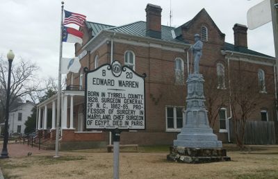
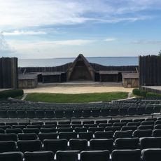
Tyrrell County, County in northeastern North Carolina, United States.

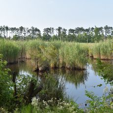
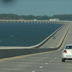
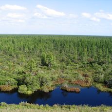
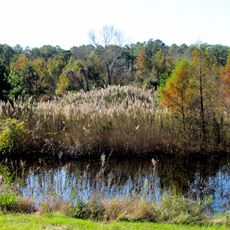
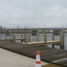
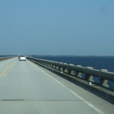
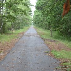
Tyrrell County is an administrative division in northeastern North Carolina with extensive wetlands, waterways, and farmland across the coastal plain. The landscape consists primarily of open terrain with numerous water bodies that define its character.

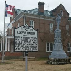
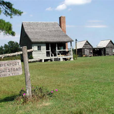
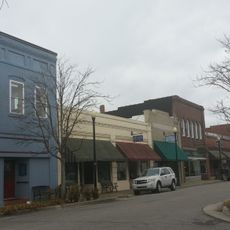
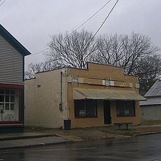
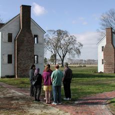
The county was established in 1729 from the Province of North Carolina with Columbia designated as its seat. Since then, it has remained the area's administrative center and sole incorporated town.

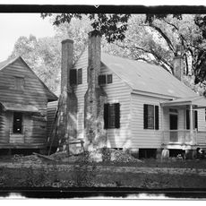
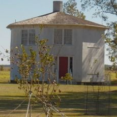
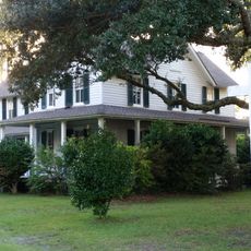
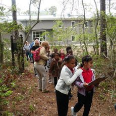
The area maintains traditional fishing and farming practices that have been rooted in this coastal region for generations. These activities continue to shape daily life and local identity today.

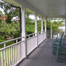
Columbia serves as the administrative hub, providing essential services for residents and visitors. The area is sparsely populated with extensive open land, so plan routes in advance and bring supplies accordingly.

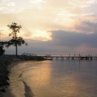
The county records the lowest population density in all of North Carolina. About one-third of the territory consists of natural preserves and water bodies that shelter rare ecosystems and wildlife.

The community of curious travelers

AroundUs brings together thousands of curated places, local tips, and hidden gems, enriched daily by 60,000 contributors worldwide.

Start exploring
Location
Inception
1729
Capital city
Columbia
Shares border with
Washington County, Dare County, Hyde County, Perquimans County, Pasquotank County, Camden County, Currituck County
GPS coordinates
35.87000,-76.17000
Latest update
December 7, 2025 10:06
Around this place
Alligator River National Wildlife Refuge
United States of America

Alligator River National Wildlife Refuge

30.5 km
Virginia Dare Memorial Bridge
United States of America

Virginia Dare Memorial Bridge

39.5 km
North Carolina Aquariums
United States of America

North Carolina Aquariums

42.3 km
Pocosin Lakes National Wildlife Refuge
United States of America

Pocosin Lakes National Wildlife Refuge

33.4 km
Mattamuskeet National Wildlife Refuge
United States of America

Mattamuskeet National Wildlife Refuge

41.3 km
Roanoke Marshes Light
United States of America

Roanoke Marshes Light

42.9 km
William B. Umstead Bridge
United States of America

William B. Umstead Bridge

38.3 km
H2OBX Waterpark
United States of America

H2OBX Waterpark

40.8 km
Land's End
United States of America

Land's End

27.2 km
Belgrade and St. David's Church
United States of America

Belgrade and St. David's Church

19.2 km
Inkwell
United States of America

Inkwell

44.2 km
Tyrrell County Courthouse
United States of America

Tyrrell County Courthouse

9.1 km
John T. Daniels House
United States of America

John T. Daniels House

44.1 km
Davenport House
United States of America

Davenport House

25.3 km
Queen Elizabeth I of England statue
United States of America

Queen Elizabeth I of England statue

42 km
Scuppernong River Bridge
United States of America

Scuppernong River Bridge

9.3 km
Columbia Historic District
United States of America

Columbia Historic District

9.1 km
Creswell Historic District
United States of America

Creswell Historic District

20.2 km
Lindsay C. Warren Bridge
United States of America

Lindsay C. Warren Bridge

15 km
Virginia Dare Monument
United States of America

Virginia Dare Monument

42.3 km
Fort Raleigh
United States of America

Fort Raleigh

42.3 km
Waterside Theatre
United States of America

Waterside Theatre

42.3 km
Coastal North Carolina National Wildlife Refuges Gateway Visitor Center
United States of America

Coastal North Carolina National Wildlife Refuges Gateway Visitor Center

41.9 km
Somerset Place State Historic Site
United States of America

Somerset Place State Historic Site

22.9 km
First Light of Freedom Memorial
United States of America

First Light of Freedom Memorial

42.2 km
Creef Cut Trail
United States of America

Creef Cut Trail

28.6 km
Tyrrell County Visitor Center
United States of America

Tyrrell County Visitor Center

9.1 km
Elizabethan Gardens
United States of America

Elizabethan Gardens

42 km
Show the full map
Administrative divisions
« Tyrrell County - County in northeastern North Carolina, United States » is provided by Around Us (aroundus.com). Images and texts are derived from Wikimedia project under a Creative Commons license. You are allowed to copy, distribute, and modify copies of this page, under the conditions set by the license, as long as this note is clearly visible.

Discover hidden gems everywhere you go!

From secret cafés to breathtaking viewpoints, skip the crowded tourist spots and find places that match your style. Our app makes it easy with voice search, smart filtering, route optimization, and insider tips from travelers worldwide. Download now for the complete mobile experience.

Around Us App Screenshot

A unique approach to discovering new places

Le Figaro

All the places worth exploring

France Info

A tailor-made excursion in just a few clicks

20 Minutes

Around Us
Travel Guide & Maps
Download

Send to your phone

QR Code
1

Open the camera app on your mobile.

2

Point at the QR code with your camera. A notification will appear.

3

Tap the notification to open the link.