Mattamuskeet National Wildlife Refuge, National Wildlife Refuge in Hyde County, North Carolina, United States
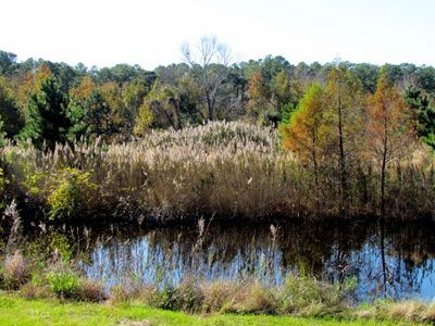
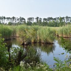
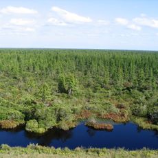
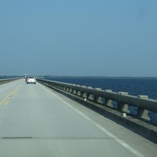
Mattamuskeet National Wildlife Refuge is a federally protected area in northeastern North Carolina, centered on Lake Mattamuskeet, the largest natural lake in the state. The refuge covers swamps, marshes, and a network of canals that together support a wide range of wetland wildlife.
The land was set aside as a federal refuge in 1934, after repeated attempts in the early 20th century to drain the lake for farming had failed. Those drainage efforts left behind a transformed landscape of shallow water and wetlands that the refuge now protects.
The name Mattamuskeet comes from the Algonquian language, likely meaning 'it is a bad place for traveling,' referring to the difficult terrain around the lake. Today, visitors walking the waterside trails in autumn or winter can watch thousands of tundra swans and snow geese arriving to feed in the shallows.
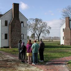
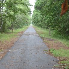
The refuge has marked walking trails, fishing spots, and observation platforms spread across the area, making it easy to explore on foot. Waterproof or sturdy footwear is a good idea, as paths can be wet or muddy, and weather along the coast can shift quickly.
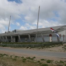
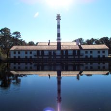
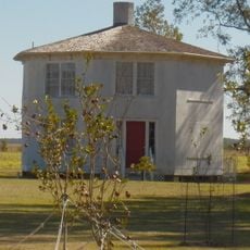
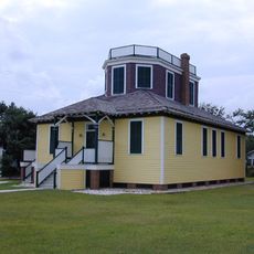
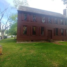
The old pump house built for the drainage operations still stands on the lakeshore and was once converted into a hotel before the federal government took over the land. It is now one of the most recognizable structures in the refuge and serves as a landmark for visitors.
The community of curious travelers
AroundUs brings together thousands of curated places, local tips, and hidden gems, enriched daily by 60,000 contributors worldwide.