Chest opened
+${chestReward.xp} XP
Explorer
NOUVEAU ×${chestReward.collectible.quantity}
tapez pour fermer
Chest locked

Open chests in the app

Around Us is built for your phone — chests unlock when you walk, explore and capture nearby places.

Enable Location

We need your location to show you interesting places around you

Discover nearby places

Find interesting locations and hidden gems around you

Precise directions

Get accurate directions and distances to places

Your location is never shared with other users. It's only used when you tap the location button.

Parsons

Log in to your account

Start exploring — it's free

Trusted by 72,889 travelers worldwide

Continue with Google
Continue with Apple
or

We will send you a code to connect

By continuing, you accept our Terms and Conditions and our Privacy Policy

Check your inbox

We've sent a pincode in your inbox. Please enter the code below.

Discussion Reviews 1 Photos
28.1k Popularity

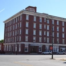
Parsons, Administrative center in Labette County, Kansas, US.

Parsons is a city in Labette County in southeastern Kansas. It serves as the county's administrative center and sits about 120 kilometers south of Kansas City.

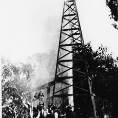
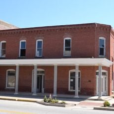
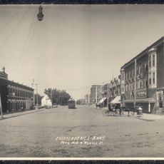
Parsons was founded in 1871 by the Missouri-Kansas-Texas Railroad, which named it after company president Levi Parsons. The railroad connection shaped the town's early growth and its role as a regional trading hub.

The police department leads community initiatives through its dedicated Community Resource Officer program, connecting with schools and neighborhood organizations throughout the year.

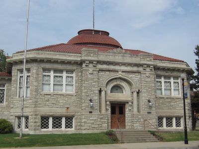
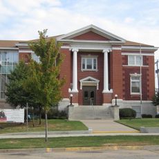
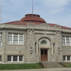
City Hall is located at 112 S 17th Street and handles local administrative matters and permits. Visitors can find information and services for administrative questions here.

The Kansas Combined Anti-Drug Taskforce headquarters operates from Parsons, coordinating with federal agencies including FBI, DEA, and Kansas Bureau of Investigations.

The community of curious travelers

AroundUs brings together thousands of curated places, local tips, and hidden gems, enriched daily by 60,000 contributors worldwide.

Start exploring
Location
Inception
1870
Elevation above the sea
275 m
GPS coordinates
37.33920,-95.26970
Latest update
December 20, 2025 12:59
Around this place
Big Hill Lake
United States of America

Big Hill Lake

17.7 km
Elk City State Park
United States of America

Elk City State Park

45.4 km
Norman No. 1 Oil Well
United States of America

Norman No. 1 Oil Well

36.7 km
Independence Public Library
United States of America

Independence Public Library

40.6 km
Oswego Public Library
United States of America

Oswego Public Library

24 km
Booth Theater
United States of America

Booth Theater

40.7 km
United States of America

Parsons Arboretum

1.1 km
Booth Hotel
United States of America

Booth Hotel

40.9 km
United States of America

Cherryvale Carnegie Free Library

26 km
Brown Hotel
United States of America

Brown Hotel

37.4 km
Carnegie Library
United States of America

Carnegie Library

787 m
State Street Bridge
United States of America

State Street Bridge

26.1 km
United States of America

First State Bank Building

32.4 km
Curious Minds Discovery Zone
United States of America

Curious Minds Discovery Zone

1.7 km
Dewlen-Spohnhauer Bridge
United States of America

Dewlen-Spohnhauer Bridge

38.4 km
Independence Historical Museum & Art Center
United States of America

Independence Historical Museum & Art Center

40.9 km
United States of America

Neosho State Fishing Lake

11.3 km
United States of America

Big Hill

32.9 km
United States of America

Montgomery County State Lake

42.3 km
Independence Downtown Historic District
United States of America

Independence Downtown Historic District

40.6 km
United States of America

Parsons Country Club

4.9 km
United States of America

Lake Parsons

10.1 km
United States of America

Katy Golf Course

2.2 km
United States of America

Independence Golf Club

40.5 km
United States of America

ATSF Cheryvale Depot

26.1 km

Parsons Munincipal Auditorium

852 m
United States of America

Work of art, sculpture

25.3 km
United States of America

Work of art, sculpture

25.3 km
Show the full map
Reviews
Share your experience

No review yet

Discussions
Start a discussion...

No discussion yet

« Parsons - Administrative center in Labette County, Kansas, US » is provided by Around Us (aroundus.com). Images and texts are derived from Wikimedia project under a Creative Commons license. You are allowed to copy, distribute, and modify copies of this page, under the conditions set by the license, as long as this note is clearly visible.

Discover hidden gems everywhere you go!

From secret cafés to breathtaking viewpoints, skip the crowded tourist spots and find places that match your style. Our app makes it easy with voice search, smart filtering, route optimization, and insider tips from travelers worldwide. Download now for the complete mobile experience.

Around Us App Screenshot

A unique approach to discovering new places

Le Figaro

All the places worth exploring

France Info

A tailor-made excursion in just a few clicks

20 Minutes

Around Us
Travel Guide & Maps
Download

Send to your phone

QR Code
1

Open the camera app on your mobile.

2

Point at the QR code with your camera. A notification will appear.

3

Tap the notification to open the link.