Labette County

Log in to your account

AroundUs is a community-driven map of interesting places, built by curious explorers like you. It grows with every review, story, and photo you share.
Connect to save your favorite spots, contribute locations, and create personalized routes.
Continue with Google
Continue with Apple
Continue with X
Continue with Facebook
Continue with email
By continuing, you accept our Terms and Conditions and our Privacy Policy
Create an account
Add to collection
Map
Suggest a change
Share

Labette County, Administrative division in Southeast Kansas, United States

Labette County covers territory in southeast Kansas and contains eight incorporated cities, with Oswego serving as the county seat and Parsons as the largest municipality. Government services operate from offices located throughout the county, primarily centered in these two main towns.

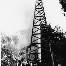
Established in 1867, the county takes its name from LaBette Creek, named after Pierre LaBette, a French-Canadian fur trapper who married into the Osage tribe. This connection to French-Canadian and Osage heritage shaped the region's early development.

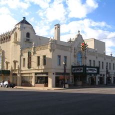
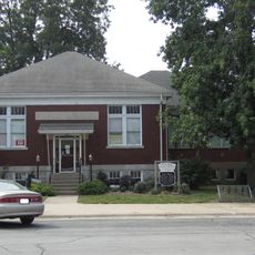
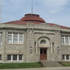
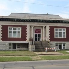
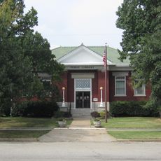
The Carnegie Arts Center in Parsons displays works by local artists and rotates exhibitions throughout the year. These collections reflect the region's artistic traditions and the craftsmanship of its people.

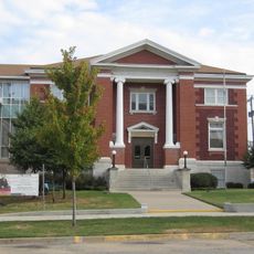
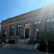
The County Courthouse in Oswego is the main hub for government services and administration. Visit this location for information from the County Clerk, Appraiser, and Register of Deeds offices.

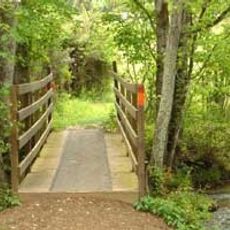
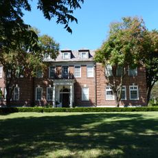
The Smith-Hollingsworth-Thomas Log Cabin is one of the oldest surviving structures, showing how early settlers built their homes using logs. This building offers a rare glimpse into pioneer construction techniques and daily life.

GPS coordinates: 37.18997,-95.31037

Latest update: December 7, 2025 19:32

Photos
Around this place
Big Brutus
United States of America

Big Brutus

34.2 km
Rainbow Bridge
United States of America

Rainbow Bridge

52.2 km
Big Hill Lake
United States of America

Big Hill Lake

16.9 km
Elk City State Park
United States of America

Elk City State Park

41.5 km
Norman No. 1 Oil Well
United States of America

Norman No. 1 Oil Well

40.7 km
Coleman Theatre
United States of America

Coleman Theatre

51.9 km
Independence Public Library
United States of America

Independence Public Library

35.1 km
George L. Coleman Sr. House
United States of America

George L. Coleman Sr. House

52.5 km
Oswego Public Library
United States of America

Oswego Public Library

18.2 km
Booth Theater
United States of America

Booth Theater

35.3 km
Onion Creek Bridge (Coffeyville, Kansas)
United States of America

Onion Creek Bridge (Coffeyville, Kansas)

35.7 km
Booth Hotel
United States of America

Booth Hotel

35.5 km
Baxter Springs Independent Oil and Gas Service Station
United States of America

Baxter Springs Independent Oil and Gas Service Station

54.3 km
Miami Marathon Oil Company Service Station
United States of America

Miami Marathon Oil Company Service Station

52.5 km
Johnston Library
United States of America

Johnston Library

54.1 km
Carnegie Library
United States of America

Carnegie Library

17.2 km
Brown Hotel
United States of America

Brown Hotel

41.4 km
Bethel African Methodist Episcopal Church
United States of America

Bethel African Methodist Episcopal Church

32.4 km
Coffeyville Carnegie Public Library Building
United States of America

Coffeyville Carnegie Public Library Building

32.6 km
Statue of Mickey Mantle
United States of America

Statue of Mickey Mantle

48.8 km
Little House On The Prairie Museum
United States of America

Little House On The Prairie Museum

47.3 km
Columbus Public Carnegie Library
United States of America

Columbus Public Carnegie Library

41.5 km
State Street Bridge
United States of America

State Street Bridge

43 km
Curious Minds Discovery Zone
United States of America

Curious Minds Discovery Zone

15.4 km
Dewlen-Spohnhauer Bridge
United States of America

Dewlen-Spohnhauer Bridge

32.9 km
Independence Historical Museum & Art Center
United States of America

Independence Historical Museum & Art Center

35.5 km
Allen's Fillin' Station
United States of America

Allen's Fillin' Station

47.9 km
Independence Downtown Historic District
United States of America

Independence Downtown Historic District

35.2 km
Show the full map
Reviews

Visited this place? Tap the stars to rate it and share your experience / photos with the community! Try now! You can cancel it anytime.

« Labette County - Administrative division in Southeast Kansas, United States » is provided by Around Us (aroundus.com). Images and texts are derived from Wikimedia project under a Creative Commons license. You are allowed to copy, distribute, and modify copies of this page, under the conditions set by the license, as long as this note is clearly visible.

Discover hidden gems everywhere you go!

From secret cafés to breathtaking viewpoints, skip the crowded tourist spots and find places that match your style. Our app makes it easy with voice search, smart filtering, route optimization, and insider tips from travelers worldwide. Download now for the complete mobile experience.

Around Us App Screenshot

A unique approach to discovering new places

Le Figaro

All the places worth exploring

France Info

A tailor-made excursion in just a few clicks

20 Minutes