
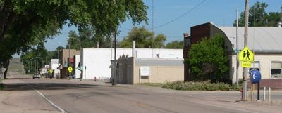
Lodgepole, human settlement in Cheyenne County, Nebraska, United States of America
Location: Cheyenne County
Elevation above the sea: 1,172 m
GPS coordinates: 41.14833,-102.63889
Latest update: April 8, 2025 05:16
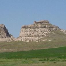
Courthouse and Jail Rocks
63.9 km
Ash Hollow State Historical Park
46.5 km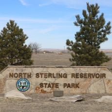
North Sterling State Park
66.1 kmCrescent Lake National Wildlife Refuge
69.1 km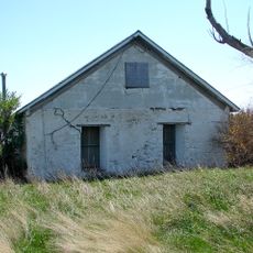
Wallace W. Waterman Sod House
47.6 km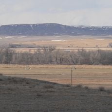
Camp Clarke Bridge Site
73 km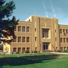
Sedgwick County Courthouse
36.2 km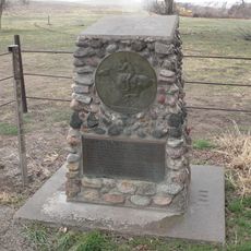
Mud Springs Station Archeological District
49 km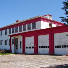
Sioux Ordnance Depot Fire & Guard Headquarters
39.6 km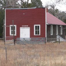
Rackett Grange Hall No. 318
67.9 km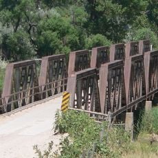
Lisco State Aid Bridge
38 km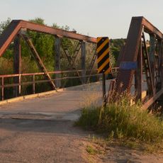
Lewellen State Aid Bridge
45.6 km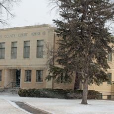
Phillips County Courthouse
69 km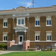
Deuel County Courthouse
15.3 km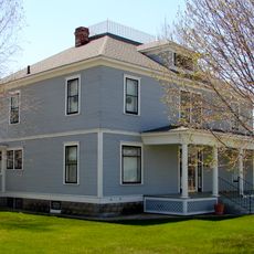
Fred and Minnie Meyer Sudman House
15.2 km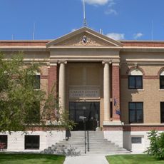
Garden County Courthouse
38 km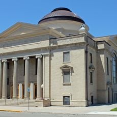
First United Presbyterian Church
75.7 km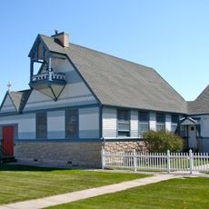
Christ Episcopal Church
28.3 km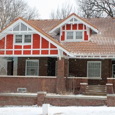
W. E. Heginbotham House
69.2 km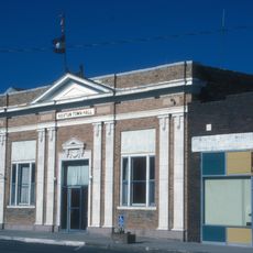
First National Bank of Haxtun
56.4 km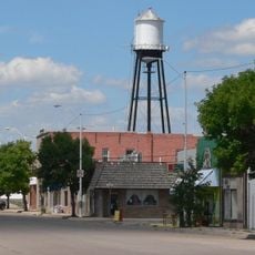
Oshkosh Water Tower
37.9 km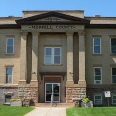
Morrill County Courthouse
69.4 km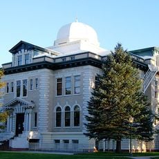
Logan County Courthouse
75.6 km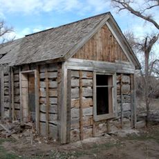
Schuetz Log Cabin
54.3 km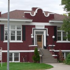
Sidney Carnegie Library
28.1 km
Downtown Sterling Historic District
75.6 km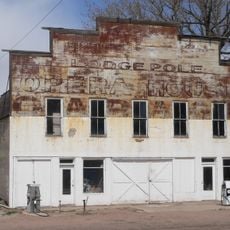
Lodgepole Opera House
13 m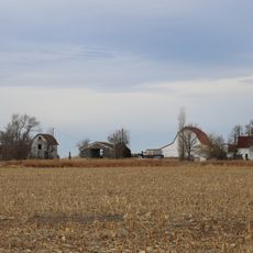
Millage Farm Rural Historic District
71.7 kmVisited this place? Tap the stars to rate it and share your experience / photos with the community! Try now! You can cancel it anytime.
Discover hidden gems everywhere you go!
From secret cafés to breathtaking viewpoints, skip the crowded tourist spots and find places that match your style. Our app makes it easy with voice search, smart filtering, route optimization, and insider tips from travelers worldwide. Download now for the complete mobile experience.

A unique approach to discovering new places❞
— Le Figaro
All the places worth exploring❞
— France Info
A tailor-made excursion in just a few clicks❞
— 20 Minutes