
Erin, city in Tennessee, United States
Location: Houston County
Elevation above the sea: 146 m
GPS coordinates: 36.31694,-87.69806
Latest update: March 10, 2025 03:23
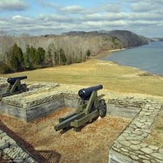
Fort Donelson
24.2 km
Montgomery Bell State Park
45.8 km
Dunbar Cave State Park
43.7 km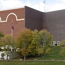
Winfield Dunn Center
39.1 km
Customs House Museum and Cultural Center
38.3 km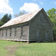
Mt. Zion Church and Cemetery
31.4 km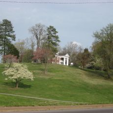
Emerald Hill
38.4 km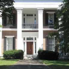
Tip Top
39.8 km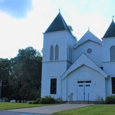
Bethlehem Methodist Church and Cemetery
41.1 km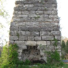
Quarry Limekiln
1.3 km
Clarksville Methodist Church
38.7 km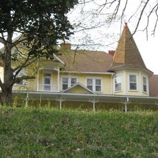
V.R. Harris House
274 m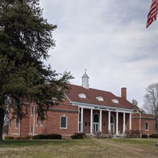
Dickson County War Memorial Building
38.6 km
First Presbyterian Church Manse
38.6 km
Madison Street Historic District
39.4 km
Forbes-Mabry House
38.8 km
Samuel Rexinger House
39.1 km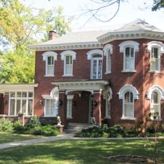
Johnson-Hach House
39 km
Sanford Wilson House
45.1 km
Alfred A. Robb House
38.9 km
Oak Top
39.6 km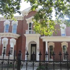
Northington-Beach House
38.6 km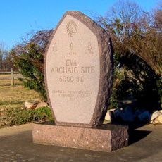
Eva Site
37.2 km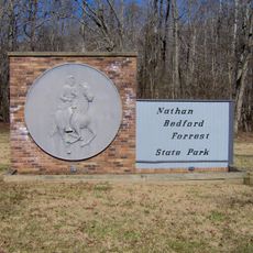
Nathan Bedford Forrest State Park
35.5 km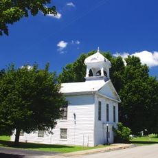
Lafayette Methodist Church
38.3 km
Dunbar Cave
44.2 km
John T. Cunningham Memorial Bridge
35.3 km
Tennessee City
29.9 kmReviews
Visited this place? Tap the stars to rate it and share your experience / photos with the community! Try now! You can cancel it anytime.
Discover hidden gems everywhere you go!
From secret cafés to breathtaking viewpoints, skip the crowded tourist spots and find places that match your style. Our app makes it easy with voice search, smart filtering, route optimization, and insider tips from travelers worldwide. Download now for the complete mobile experience.

A unique approach to discovering new places❞
— Le Figaro
All the places worth exploring❞
— France Info
A tailor-made excursion in just a few clicks❞
— 20 Minutes