·

Enable Location

We need your location to show you interesting places around you

Discover nearby places

Find interesting locations and hidden gems around you

Precise directions

Get accurate directions and distances to places

Your location is never shared with other users. It's only used when you tap the location button.

Houston County

Log in to your account

Start exploring — it's free

Trusted by 62,748 travelers worldwide

Continue with Google
Continue with Apple
or

We will send you a code to connect

By continuing, you accept our Terms and Conditions and our Privacy Policy

Check your inbox

We've sent a pincode in your inbox. Please enter the code below.

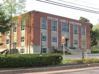
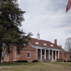
Houston County, County in Tennessee, United States

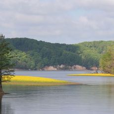
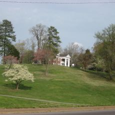
Houston County is an administrative area in Tennessee with a landscape of farmland and natural spaces shaped by the Cumberland River. The terrain consists of gentle rolling land and open fields that form the basic character of the region.

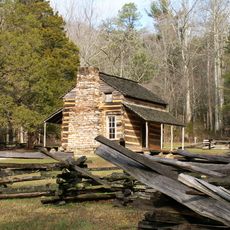
The county was established in 1871 and named after Sam Houston, who founded Houston in Texas. This choice reflected the connections and respect for important figures of that era.

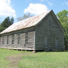
The county keeps strong farming roots alive through local markets and seasonal gatherings where producers sell directly from their harvests. This connection to the land remains visible in how the community works and organizes itself.

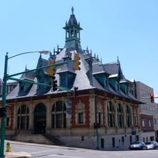
State routes 13, 46, and 49 connect the area with neighboring regions and make travel straightforward. The county seat of Erin offers central locations for services and information.

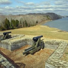
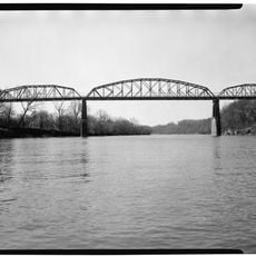
The area contains several waterways that offer fishing spots and water activities for visitors. These waters have shaped recreation and local life for generations.

The community of curious travelers

AroundUs brings together thousands of curated places, local tips, and hidden gems, enriched daily by 60,000 contributors worldwide.

Start exploring
Location
Inception
1871
Capital city
Erin
Shares border with
Stewart County, Montgomery County, Dickson County, Humphreys County, Benton County
GPS coordinates
36.28000,-87.71000
Latest update
December 7, 2025 20:44
Around this place
Fort Donelson
United States of America

Fort Donelson

27.2 km
Winfield Dunn Center
United States of America

Winfield Dunn Center

42.6 km
Clement Railroad Hotel Museum
United States of America

Clement Railroad Hotel Museum

36.7 km
Tennessee National Wildlife Refuge
United States of America

Tennessee National Wildlife Refuge

42.6 km
Customs House Museum and Cultural Center
United States of America

Customs House Museum and Cultural Center

41.7 km
Mt. Zion Church and Cemetery
United States of America

Mt. Zion Church and Cemetery

31.5 km
William Thompson House
United States of America

William Thompson House

43.6 km
Emerald Hill
United States of America

Emerald Hill

41.9 km
Tip Top
United States of America

Tip Top

43.1 km
Bethlehem Methodist Church and Cemetery
United States of America

Bethlehem Methodist Church and Cemetery

43.8 km
Quarry Limekiln
United States of America

Quarry Limekiln

4.1 km
Clarksville Methodist Church
United States of America

Clarksville Methodist Church

42.1 km
V.R. Harris House
United States of America

V.R. Harris House

4.2 km
Dickson County War Memorial Building
United States of America

Dickson County War Memorial Building

36.7 km
First Presbyterian Church Manse
United States of America

First Presbyterian Church Manse

42 km
Madison Street Historic District
United States of America

Madison Street Historic District

42.8 km
Forbes-Mabry House
United States of America

Forbes-Mabry House

42.3 km
Samuel Rexinger House
United States of America

Samuel Rexinger House

42.6 km
Johnson-Hach House
United States of America

Johnson-Hach House

42.4 km
Alfred A. Robb House
United States of America

Alfred A. Robb House

42.4 km
Oak Top
United States of America

Oak Top

42.9 km
Northington-Beach House
United States of America

Northington-Beach House

42 km
Eva Site
United States of America

Eva Site

33.5 km
Nathan Bedford Forrest State Park
United States of America

Nathan Bedford Forrest State Park

31.9 km
Lafayette Methodist Church
United States of America

Lafayette Methodist Church

42.5 km
Tennessee River Freshwater Pearl Museum and Cabin Rentals
United States of America

Tennessee River Freshwater Pearl Museum and Cabin Rentals

46.2 km
John T. Cunningham Memorial Bridge
United States of America

John T. Cunningham Memorial Bridge

38.7 km
Tennessee City
United States of America

Tennessee City

27.3 km
Show the full map
Administrative divisions
« Houston County - County in Tennessee, United States » is provided by Around Us (aroundus.com). Images and texts are derived from Wikimedia project under a Creative Commons license. You are allowed to copy, distribute, and modify copies of this page, under the conditions set by the license, as long as this note is clearly visible.

Discover hidden gems everywhere you go!

From secret cafés to breathtaking viewpoints, skip the crowded tourist spots and find places that match your style. Our app makes it easy with voice search, smart filtering, route optimization, and insider tips from travelers worldwide. Download now for the complete mobile experience.

Around Us App Screenshot

A unique approach to discovering new places

Le Figaro

All the places worth exploring

France Info

A tailor-made excursion in just a few clicks

20 Minutes

Around Us
Travel Guide & Maps
Download

Send to your phone

QR Code
1

Open the camera app on your mobile.

2

Point at the QR code with your camera. A notification will appear.

3

Tap the notification to open the link.