
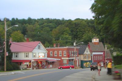
Ashland, town in New Hampshire, United States
Location: Grafton County
Inception: 1868
Elevation above the sea: 170 m
Website: http://ashland.nh.gov
GPS coordinates: 43.69500,-71.63167
Latest update: March 3, 2025 02:25
Winnipesaukee Playhouse
11.8 km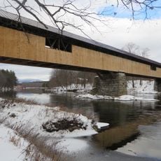
Blair Bridge
13.1 km
Rockywold-Deephaven Camps
11.5 km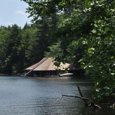
Burleigh Brae and Webster Boathouse
9.4 km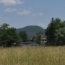
Webster Estate
9.3 km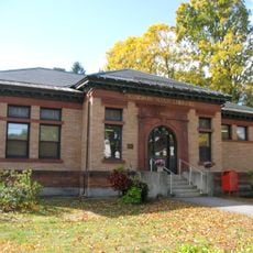
Gordon-Nash Library
10.1 km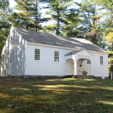
Dana Meeting House
5.8 km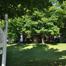
Whipple House
67 m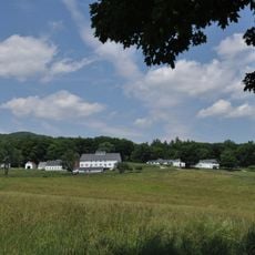
True Farm
9.3 km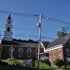
First Free Will Baptist Church and Vestry
112 m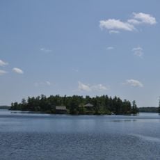
Camp Carnes
9.6 km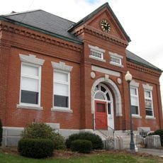
Meredith Public Library
11.5 km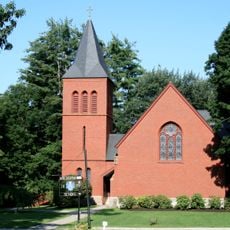
Chapel of the Holy Cross
7.9 km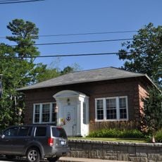
Holderness Free Library
5.4 km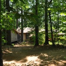
Camp Ossipee
8.6 km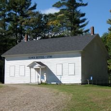
New Hampton Town House
7.9 km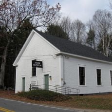
First Free Will Baptist Church
9.3 km
Ashland Gristmill and Dam
97 m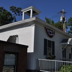
Old Grafton County Courthouse
8.4 km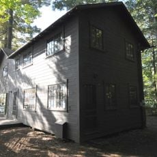
Boulderwood
9 km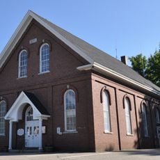
Ashland Town Hall
201 m
Shepard Hill Historic District
6 km
Plymouth Historic District
8.3 km
Centre Harbor Village Historic District
13.7 km
North Holderness Freewill Baptist Church-Holderness Historical Society Building
6.2 km
Owls Head
12.8 km
Washington Mooney House
9 km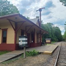
Ashland
585 mVisited this place? Tap the stars to rate it and share your experience / photos with the community! Try now! You can cancel it anytime.
Discover hidden gems everywhere you go!
From secret cafés to breathtaking viewpoints, skip the crowded tourist spots and find places that match your style. Our app makes it easy with voice search, smart filtering, route optimization, and insider tips from travelers worldwide. Download now for the complete mobile experience.

A unique approach to discovering new places❞
— Le Figaro
All the places worth exploring❞
— France Info
A tailor-made excursion in just a few clicks❞
— 20 Minutes