
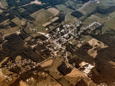
Oldenburg, town in Ray Township, Franklin County, Indiana, United States
Location: Ray Township
Inception: 1837
Elevation above the sea: 271 m
GPS coordinates: 39.33940,-85.20470
Latest update: April 1, 2025 16:10
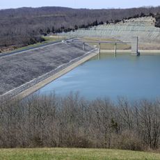
Brookville Lake Dam
20.9 km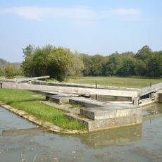
Whitewater Canal
14.8 km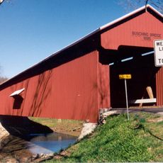
Versailles State Park
29 km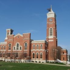
Decatur County Courthouse
24 km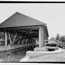
Duck Creek Aqueduct
13.5 km
Little Cedar Grove Baptist Church
19.9 km
The Hermitage
19.5 km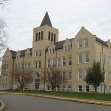
Carnegie Hall of Moores Hill College
27.1 km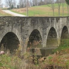
Straber Ford Bridge
25.3 km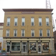
Knights of Pythias Building and Theatre
24.1 km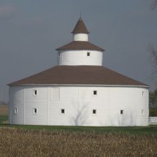
Strauther Pleak Round Barn
25.7 km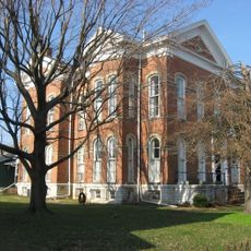
Bright B. Harris House
24 km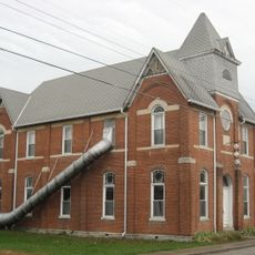
Milan Masonic Lodge No. 31
24.7 km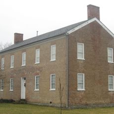
Franklin County Seminary
19.1 km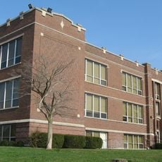
Jerman School
24.3 km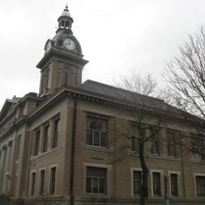
Brookville Historic District
19.2 km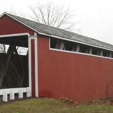
Stockheughter Covered Bridge
6.6 km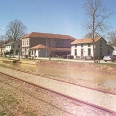
Metamora Historic District
13.4 km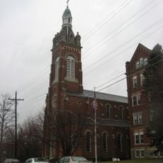
Oldenburg Historic District
248 m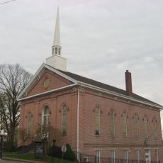
Moores Hill United Methodist Church
27.1 km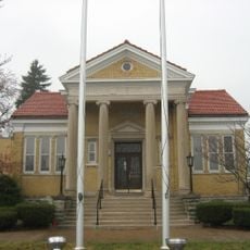
Greensburg Carnegie Public Library
24.2 km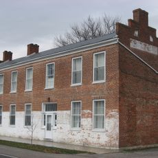
Central House
18.4 km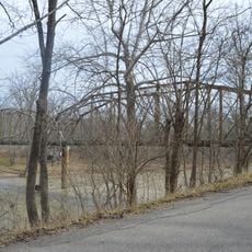
Cedar Grove Bridge
22.6 km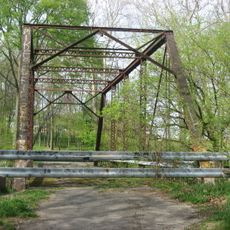
Rush County Bridge No. 188
29 km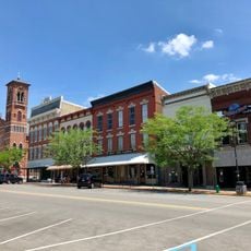
Greensburg Downtown Historic District
24 km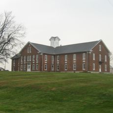
Dearborn County Asylum for the Poor
25.7 km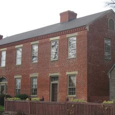
Elias Conwell House
18.4 km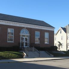
Central Batesville Historic District
4.9 kmVisited this place? Tap the stars to rate it and share your experience / photos with the community! Try now! You can cancel it anytime.
Discover hidden gems everywhere you go!
From secret cafés to breathtaking viewpoints, skip the crowded tourist spots and find places that match your style. Our app makes it easy with voice search, smart filtering, route optimization, and insider tips from travelers worldwide. Download now for the complete mobile experience.

A unique approach to discovering new places❞
— Le Figaro
All the places worth exploring❞
— France Info
A tailor-made excursion in just a few clicks❞
— 20 Minutes