
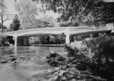
Bridge in West Earl Township
Bridge in West Earl Township, bridge in United States of America
Location: Pennsylvania
Architects: Frank H. Shaw
Made from material: concrete
GPS coordinates: 40.12780,-76.19970
Latest update: September 23, 2025 16:46
Ephrata Cloister
6.2 km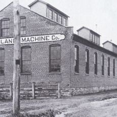
New Holland Machine Company
9.9 km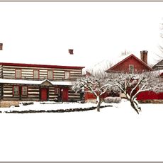
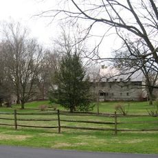
The Hess Homestead
7.9 km
Landis Valley Museum
7.8 km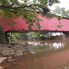
Bitzer's Mill Covered Bridge
4.3 km
Lititz Moravian Historic District
9.2 km
Keller's Mill Covered Bridge
4.9 km
Zook's Mill Covered Bridge
2.7 km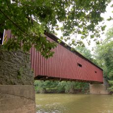
Pinetown Bushong's Mill Covered Bridge
4.8 km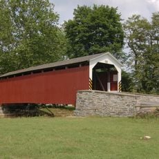
Erb's Covered Bridge
5.8 km
Johann Agust Sutter House
9.7 km
John Casper Stoever Log House
9.6 km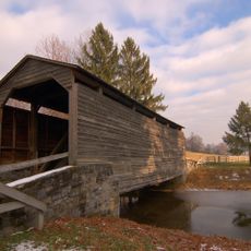
Buck Hill Farm Covered Bridge
8.6 km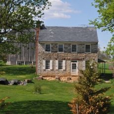
Shreiner Farm
4.6 km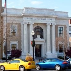
Ephrata Commercial Historic District
5.9 km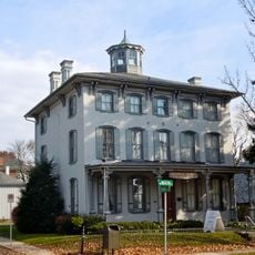
Connell Mansion
6.1 km
William Werner House
9.5 km
Jacob Keller Farm
4.8 km
Windom Mill Farm
4.6 km
Hibshman Farm
8.8 km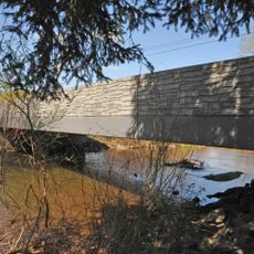
Brunnerville Road Bridge over Hammer Creek
10.2 km
Christian Stauffer House
8.9 km
Christian and Emma Herr Farm
4.6 km
Peter and Catherine Reyer Farmhouse
7.6 km
Lititz Historical Foundation
9.3 km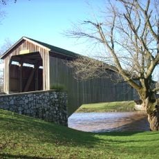
Hunsecker's Mill Covered Bridge
6.1 km
Mascot Roller Mills
8.1 km
Oregon Mill Complex
4.6 kmReviews
Visited this place? Tap the stars to rate it and share your experience / photos with the community! Try now! You can cancel it anytime.
Discover hidden gems everywhere you go!
From secret cafés to breathtaking viewpoints, skip the crowded tourist spots and find places that match your style. Our app makes it easy with voice search, smart filtering, route optimization, and insider tips from travelers worldwide. Download now for the complete mobile experience.

A unique approach to discovering new places❞
— Le Figaro
All the places worth exploring❞
— France Info
A tailor-made excursion in just a few clicks❞
— 20 Minutes