Chest opened
+${chestReward.xp} XP
Explorer
NOUVEAU ×${chestReward.collectible.quantity}
tapez pour fermer
Chest locked

Open chests in the app

Around Us is built for your phone — chests unlock when you walk, explore and capture nearby places.

Enable Location

We need your location to show you interesting places around you

Discover nearby places

Find interesting locations and hidden gems around you

Precise directions

Get accurate directions and distances to places

Your location is never shared with other users. It's only used when you tap the location button.

Bute County

Log in to your account

Start exploring — it's free

Trusted by 72,883 travelers worldwide

Continue with Google
Continue with Apple
or

We will send you a code to connect

By continuing, you accept our Terms and Conditions and our Privacy Policy

Check your inbox

We've sent a pincode in your inbox. Please enter the code below.

Discussion Reviews 1 Photos
4.7k Popularity

Bute County, Former administrative county in eastern North Carolina, United States

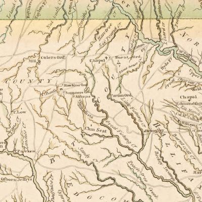
Bute County was a former administrative division in eastern North Carolina, covering the land that today makes up Franklin County and Warren County. The county existed for only about 15 years before being split into two separate counties.

The county was created in 1764 from part of Granville County, as colonial authorities tried to better manage the growing settlements in the east. In 1779, shortly after independence, it was split into Franklin County and Warren County and ceased to exist.

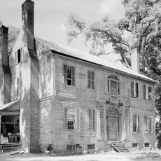
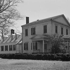
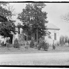
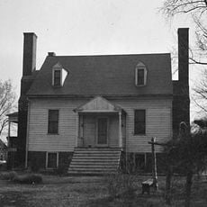
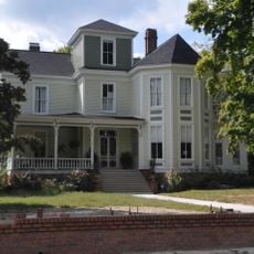
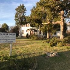
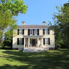
The lands that once formed this county sit in a part of North Carolina where colonial-era tensions between settlers and authorities ran deep. Local museums and archives in Franklin and Warren counties still hold records and objects that connect visitors to that period.

Since Bute County no longer exists, there is no specific site to visit, but its former territory now falls within Franklin County and Warren County in eastern North Carolina. Local historical archives and libraries in both counties are a good starting point for anyone curious about the area's past.

The county was named after John Stuart, the Earl of Bute, a British prime minister who was widely disliked in the American colonies for his role in passing unpopular taxes. Naming a county after him in 1764, just as colonial resentment was building, made the name short-lived and contested from the start.

The community of curious travelers

AroundUs brings together thousands of curated places, local tips, and hidden gems, enriched daily by 60,000 contributors worldwide.

Start exploring
Location
Location
Province of North Carolina
Inception
June 10, 1764
GPS coordinates
36.32600,-78.21300
Latest update
March 5, 2026 18:17
Around this place
Louisburg College
United States of America

Louisburg College

25.7 km
Kerr Lake State Recreation Area
United States of America

Kerr Lake State Recreation Area

19.7 km
United States of America

Long Grass Plantation

28 km
Burnside Plantation House
United States of America

Burnside Plantation House

25.4 km
Ashland
United States of America

Ashland

18.3 km
Person Place
United States of America

Person Place

25.6 km
Pool Rock Plantation
United States of America

Pool Rock Plantation

23.2 km
Josiah Crudup House
United States of America

Josiah Crudup House

26.2 km
Fuller House
United States of America

Fuller House

25.9 km
Elgin
United States of America

Elgin

11.9 km
St. John's Episcopal Church
United States of America

St. John's Episcopal Church

22.9 km
Green Hill House
United States of America

Green Hill House

28.5 km
Warrenton Historic District
United States of America

Warrenton Historic District

9.3 km
Louisburg Historic District
United States of America

Louisburg Historic District

26 km
Green Duke House
United States of America

Green Duke House

10 km
Henderson Central Business Historic District
United States of America

Henderson Central Business Historic District

17.2 km
Zollicoffer's Law Office
United States of America

Zollicoffer's Law Office

16.9 km
Dr. Samuel Perry House
United States of America

Dr. Samuel Perry House

15.3 km
Vance County Courthouse
United States of America

Vance County Courthouse

17 km
Laurel Mill and Col. Jordan Jones House
United States of America

Laurel Mill and Col. Jordan Jones House

16.6 km
Hebron Methodist Church
United States of America

Hebron Methodist Church

23.4 km
Library and Laboratory Building-Henderson Institute
United States of America

Library and Laboratory Building-Henderson Institute

17 km
Chapel of the Good Shepherd
United States of America

Chapel of the Good Shepherd

12.3 km
Mansfield Thornton House
United States of America

Mansfield Thornton House

9 km
Williamson House
United States of America

Williamson House

26.1 km
William J. Hawkins House
United States of America

William J. Hawkins House

11.6 km
Franklin County Training School-Riverside Union School
United States of America

Franklin County Training School-Riverside Union School

27.1 km
Thomas and Lois Wheless House
United States of America

Thomas and Lois Wheless House

26.2 km
Show the full map
Reviews
Share your experience

No review yet

Discussions
Start a discussion...

No discussion yet

« Bute County - Former administrative county in eastern North Carolina, United States » is provided by Around Us (aroundus.com). Images and texts are derived from Wikimedia project under a Creative Commons license. You are allowed to copy, distribute, and modify copies of this page, under the conditions set by the license, as long as this note is clearly visible.

Discover hidden gems everywhere you go!

From secret cafés to breathtaking viewpoints, skip the crowded tourist spots and find places that match your style. Our app makes it easy with voice search, smart filtering, route optimization, and insider tips from travelers worldwide. Download now for the complete mobile experience.

Around Us App Screenshot

A unique approach to discovering new places

Le Figaro

All the places worth exploring

France Info

A tailor-made excursion in just a few clicks

20 Minutes

Around Us
Travel Guide & Maps
Download

Send to your phone

QR Code
1

Open the camera app on your mobile.

2

Point at the QR code with your camera. A notification will appear.

3

Tap the notification to open the link.