Chest opened
+${chestReward.xp} XP
Explorer
NOUVEAU ×${chestReward.collectible.quantity}
tapez pour fermer
Chest locked

Open chests in the app

Around Us is built for your phone — chests unlock when you walk, explore and capture nearby places.

Enable Location

We need your location to show you interesting places around you

Discover nearby places

Find interesting locations and hidden gems around you

Precise directions

Get accurate directions and distances to places

Your location is never shared with other users. It's only used when you tap the location button.

Log in to your account

Start exploring — it's free

Trusted by 72,902 travelers worldwide

Continue with Google
Continue with Apple
or

We will send you a code to connect

By continuing, you accept our Terms and Conditions and our Privacy Policy

Check your inbox

We've sent a pincode in your inbox. Please enter the code below.

Discussion Reviews Photo
4.5k Popularity

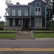
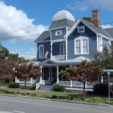
Dobbs County, Former administrative county in eastern North Carolina, United States

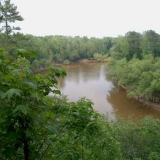
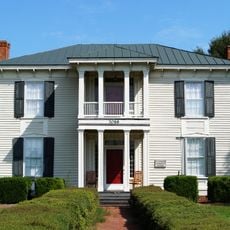
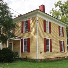
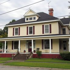
Dobbs County was a former administrative division in eastern North Carolina situated across fertile farmland between Johnston County and the Atlantic coastal region. The territory encompassed various settlements and rural areas that served the colonial economy of this part of the state.

The county was established in 1758 by the North Carolina legislature and named after Colonial Governor Arthur Dobbs, who served from 1754 to 1764. In 1791, the legislature divided the territory into two separate entities: one became Greene County and the other became Lenoir County.

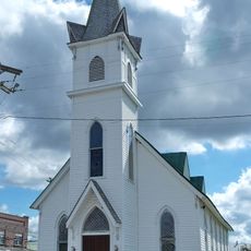
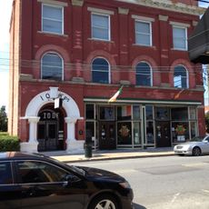
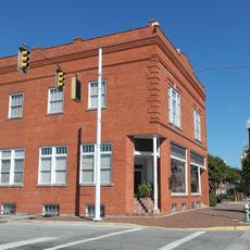
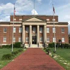
The county seat moved from Walnut Creek to Kingston, later renamed Kinston, which became a central point for local government and community activities.

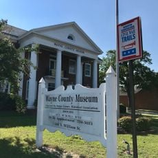
Today this historical territory exists only in archives and historical collections, having been dissolved more than 200 years ago. To learn about its history, visitors can explore regional museums and archives, particularly in the successor counties like Greene and Lenoir.

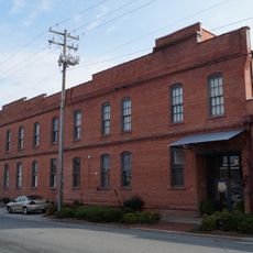
Much documentation about the area was destroyed in 1878 when fire damaged the Lenoir County Court House. This loss makes it difficult to find complete records about many events and official documents from that period.

The community of curious travelers

AroundUs brings together thousands of curated places, local tips, and hidden gems, enriched daily by 60,000 contributors worldwide.

Start exploring
Location
Location
Province of North Carolina
Inception
1758
GPS coordinates
35.31700,-77.85000
Latest update
March 5, 2026 18:17
Around this place
Cliffs of the Neuse State Park
United States of America

Cliffs of the Neuse State Park

9.3 km
Fort Neoheroka
United States of America

Fort Neoheroka

21.1 km
Stallings Air Base
United States of America

Stallings Air Base

22 km
Harmony Hall
United States of America

Harmony Hall

25.1 km
Dempsey Wood House
United States of America

Dempsey Wood House

15 km
Temple Israel
United States of America

Temple Israel

23.7 km
La Grange Presbyterian Church
United States of America

La Grange Presbyterian Church

5.7 km
American Tobacco Company Prizery
United States of America

American Tobacco Company Prizery

24.9 km
Solomon and Henry Weil Houses
United States of America

Solomon and Henry Weil Houses

15.4 km
Odd Fellows Lodge
United States of America

Odd Fellows Lodge

14.8 km
La Grange Historic District (North Carolina)
United States of America

La Grange Historic District (North Carolina)

5.4 km
Neuseway Nature Center and Planetarium
United States of America

Neuseway Nature Center and Planetarium

24.8 km
Southerland-Burnette House
United States of America

Southerland-Burnette House

23.9 km
First Presbyterian Church
United States of America

First Presbyterian Church

15.4 km
Mitchelltown Historic District
United States of America

Mitchelltown Historic District

24.6 km
B. W. Canady House
United States of America

B. W. Canady House

25 km
Baptist Parsonage
United States of America

Baptist Parsonage

25.4 km
Hill–Grainger Historic District
United States of America

Hill–Grainger Historic District

25.1 km
Sumrell and McCoy Building
United States of America

Sumrell and McCoy Building

25.1 km
Kennedy Memorial Home Historic District
United States of America

Kennedy Memorial Home Historic District

15.9 km
Greene County Courthouse
United States of America

Greene County Courthouse

22.5 km
Cedar Dell
United States of America

Cedar Dell

16.2 km
Carter-Simmons House
United States of America

Carter-Simmons House

24.8 km
Queen-Gordon Streets Historic District
United States of America

Queen-Gordon Streets Historic District

25.2 km
CSS Neuse Museum
United States of America

CSS Neuse Museum

25.2 km
Wayne County Museum
United States of America

Wayne County Museum

14.9 km
Charles B Aycock Birthplace
United States of America

Charles B Aycock Birthplace

25.3 km
CSS Neuse II
United States of America

CSS Neuse II

25 km
Show the full map
Reviews
Share your experience

No review yet

Discussions
Start a discussion...

No discussion yet

« Dobbs County - Former administrative county in eastern North Carolina, United States » is provided by Around Us (aroundus.com). Images and texts are derived from Wikimedia project under a Creative Commons license. You are allowed to copy, distribute, and modify copies of this page, under the conditions set by the license, as long as this note is clearly visible.

Discover hidden gems everywhere you go!

From secret cafés to breathtaking viewpoints, skip the crowded tourist spots and find places that match your style. Our app makes it easy with voice search, smart filtering, route optimization, and insider tips from travelers worldwide. Download now for the complete mobile experience.

Around Us App Screenshot

A unique approach to discovering new places

Le Figaro

All the places worth exploring

France Info

A tailor-made excursion in just a few clicks

20 Minutes

Around Us
Travel Guide & Maps
Download

Send to your phone

QR Code
1

Open the camera app on your mobile.

2

Point at the QR code with your camera. A notification will appear.

3

Tap the notification to open the link.