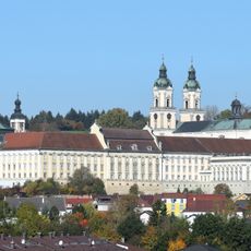
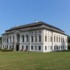
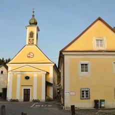
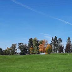
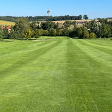
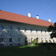
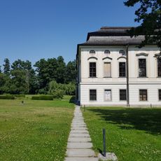
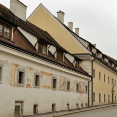
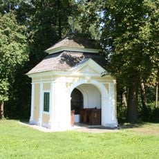
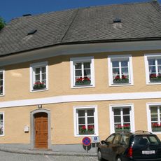
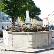
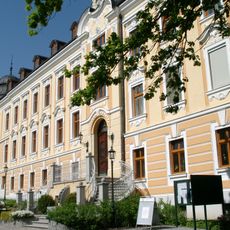
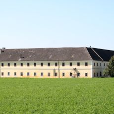
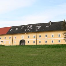
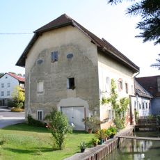
Sankt Florian, municipality in Linz-Land District, Upper Austria, Austria
Location: Linz-Land District
Elevation above the sea: 296 m
Shares border with: Linz, Asten, Enns, Hargelsberg, Hofkirchen im Traunkreis, Niederneukirchen, Sankt Marien, Ansfelden
Email: gemeinde@st-florian.ooe.gv.at
Website: http://st-florian.at
GPS coordinates: 48.20889,14.37944
Latest update: March 12, 2025 23:43
St. Florian's Priory
1.1 km
Schloss Tillysburg
3.4 km
Florianerbahn
2.7 km
Paneum
2.3 km
Richtfunkstation Ansfelden
6.5 km
Oberösterreichische Glocken- und Metallgießerei
1.3 km
Schloss Hohenbrunn
2 km
Sendeanlage Fleckendorf
5.7 km
Burg Volkenstorf, Tillysburg
3.3 km
Pfarrkirche Asten
3 km
Golfclub Linz St. Florian
3.3 km
Golf Stärk Ansfelden
6.3 km
Freilichtmuseum Sumerauerhof
2.1 km
Ölbergkapelle Sankt Florian
198 m
Stiftsbibliothek St Florian
238 m
OÖ Jagdmuseum (Schloss Hohenbrunn)
2 km
Johanneskirche, Bruderhaus, Stiftsspital, Florianiquelle, Sankt Florian (Linz-Land)
476 m
Kapelle Grubergut
2.2 km
Sumerauerkapelle
2.1 km
Sumerauerhof
2.1 km
Wohnhaus, ehem. Glaserhaus
261 m
Marktplatzbrunnen (Sankt Florian)
283 m
Gemeindeamt Sankt Florian
332 m
Stiftsmeierhof
1.8 km
Stöttingergut
4.8 km
Ehemalige Hofmühle
572 m
Getreidespeicher Pucking
2 km
Bildstock
3.8 kmReviews
Visited this place? Tap the stars to rate it and share your experience / photos with the community! Try now! You can cancel it anytime.
Discover hidden gems everywhere you go!
From secret cafés to breathtaking viewpoints, skip the crowded tourist spots and find places that match your style. Our app makes it easy with voice search, smart filtering, route optimization, and insider tips from travelers worldwide. Download now for the complete mobile experience.
A unique approach to discovering new places❞
— Le Figaro
All the places worth exploring❞
— France Info
A tailor-made excursion in just a few clicks❞
— 20 Minutes