Montafon, Alpine valley in Bludenz District, Austria
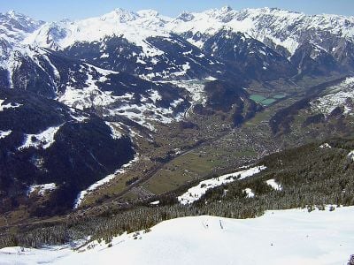
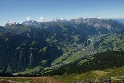
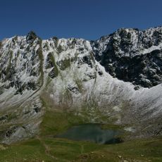
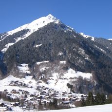
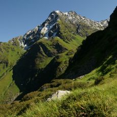
Montafon is a valley in Austria that runs 39 kilometers from the town of Bludenz to the Verwall Alps, bordered by the Silvretta range to the south and the Rätikon range to the north. The valley rises gently and becomes narrower toward the east, while the surrounding peaks grow gradually higher and eventually reach glaciated terrain.
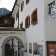
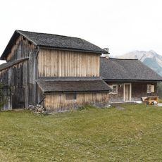
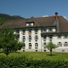
Between the 12th century and the 18th century, iron ore and silver were mined intensely around Bartholomäberg, drawing many families to the valley. After mining declined, the economy shifted to agriculture and later to tourism, which now forms the main source of income.
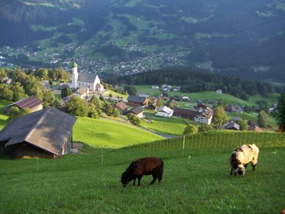
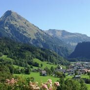
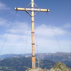
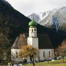
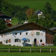
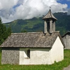
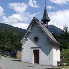
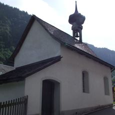
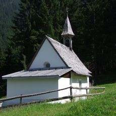
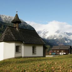
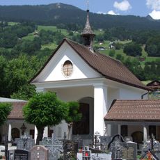
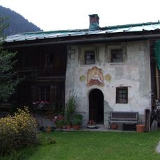
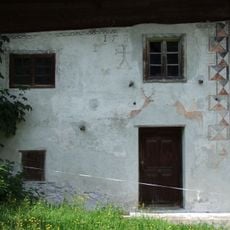
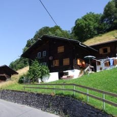
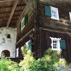
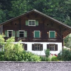
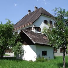
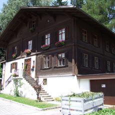
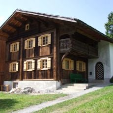
Farmers who live here still follow the old practice of moving animals up to the high meadows in spring and bringing them back down to the valley floor in autumn. The village churches and chapels on the hillsides recall how closely religion and mountain work were once linked.
The Montafonerbahn railway connects Bludenz with Tschagguns-Schruns and stops at several villages along the route, making it easy to move between the towns. The paths in the valley are well marked and many of them lead directly to the starting points for mountain trails.
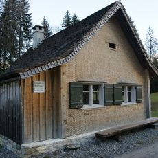
The cheese production following old recipes from the 12th century yields a low-fat cheese that develops a strong flavor through long aging in the cellar. In some dairies you can watch the wheels of cheese being salted and turned by hand.
The community of curious travelers
AroundUs brings together thousands of curated places, local tips, and hidden gems, enriched daily by 60,000 contributors worldwide.