Enable Location

We need your location to show you interesting places around you

Discover nearby places

Find interesting locations and hidden gems around you

Precise directions

Get accurate directions and distances to places

Your location is never shared with other users. It's only used when you tap the location button.

Hermannskogel

Log in to your account

Start exploring — it's free

Trusted by 61,953 travelers worldwide

Continue with Google
Continue with Apple
or

We will send you a code to connect

By continuing, you accept our Terms and Conditions and our Privacy Policy

Check your inbox

We've sent a pincode in your inbox. Please enter the code below.

Hermannskogel

Hermannskogel, Mountain summit in Döbling district of Vienna, Austria.

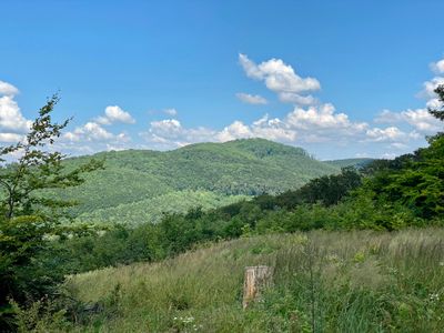
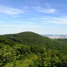
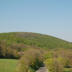
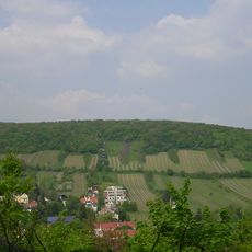
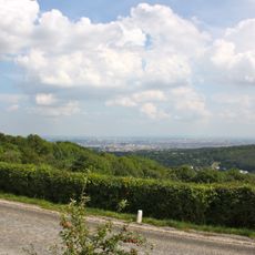
Hermannskogel is the highest natural point in Vienna, rising to 542 meters above sea level within the city's boundaries. From its summit, the city and surrounding landscape spread out in all directions.

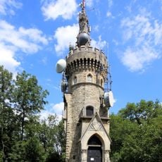
An observation tower called Habsburgwarte was built on the summit in 1888 and served as the main reference point for mapping the entire Austro-Hungarian Empire until 1918. The tower shaped how the whole region was scientifically surveyed.

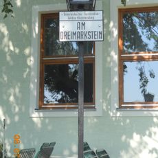
The name brings together a medieval personal name and a local word for cone-shaped hills, showing how the area reflects traditional naming practices in Austria. Walkers learn this connection as they climb through the landscape.

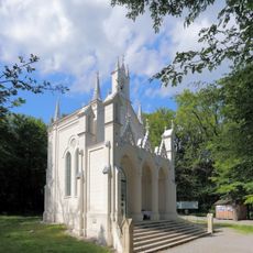
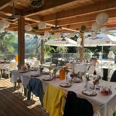
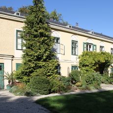
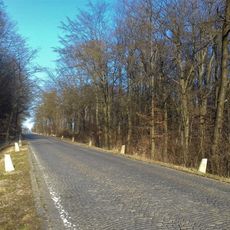
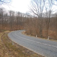
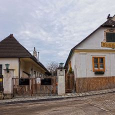
The walk to the summit takes around 30 minutes starting from the Grüass Di Gott Wirt, a local restaurant that serves as a convenient trailhead. The route follows the Vienna Höhenstrasse, which is clearly marked and straightforward to navigate.

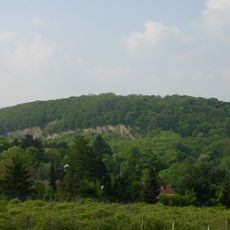
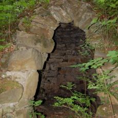
The southwestern slope displays different rock layers including flysch, quartz, limestone, and marl, offering a rare glimpse into the hill's geological makeup. These natural cross-sections are visible to walkers as they climb.

The community of curious travelers

AroundUs brings together thousands of curated places, local tips, and hidden gems, enriched daily by 60,000 contributors worldwide.

Start exploring
GPS coordinates
48.27072,16.29456
Latest update
December 7, 2025 19:25
« Hermannskogel - Mountain summit in Döbling district of Vienna, Austria » is provided by Around Us (aroundus.com). Images and texts are derived from Wikimedia project under a Creative Commons license. You are allowed to copy, distribute, and modify copies of this page, under the conditions set by the license, as long as this note is clearly visible.

Discover hidden gems everywhere you go!

From secret cafés to breathtaking viewpoints, skip the crowded tourist spots and find places that match your style. Our app makes it easy with voice search, smart filtering, route optimization, and insider tips from travelers worldwide. Download now for the complete mobile experience.

Around Us App Screenshot

A unique approach to discovering new places

Le Figaro

All the places worth exploring

France Info

A tailor-made excursion in just a few clicks

20 Minutes

Around Us
Travel Guide & Maps
Download

Send to your phone

QR Code
1

Open the camera app on your mobile.

2

Point at the QR code with your camera. A notification will appear.

3

Tap the notification to open the link.