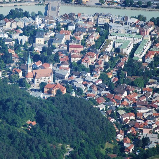
Hötting, human settlement in Austria
The community of curious travelers
AroundUs brings together thousands of curated places, local tips, and hidden gems, enriched daily by 60,000 contributors worldwide.
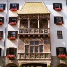
Golden Roof
601 m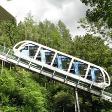
Hungerburgbahn
1.7 km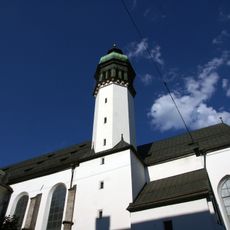
Hofkirche
746 m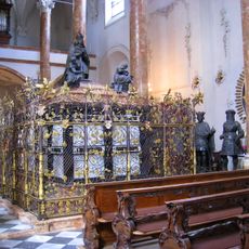
Tomb of Maximilian I, Holy Roman Emperor
744 m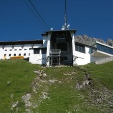
Nordkettenbahn
3.9 km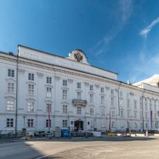
Hofburg, Innsbruck
695 m
Innsbruck Cathedral
622 m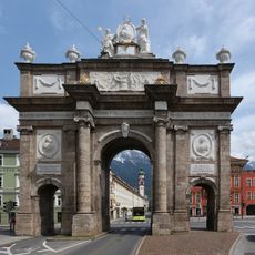
Triumphpforte
1.2 km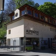
Alpenzoo Innsbruck
1.4 km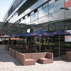
MCI Management Center Innsbruck
874 m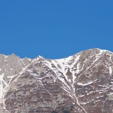
Hafelekarspitze
4.6 km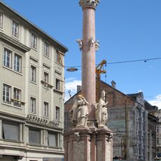
St. Anne's Column
878 m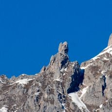
Frau Hitt
4.6 km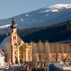
Wilten Abbey
2.3 km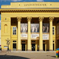
Grand building of the Tyrolean state theatre
748 m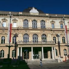
Tiroler Landesmuseum Ferdinandeum
965 m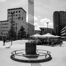
Pogromdenkmal
1.1 km
Veldidena
1.6 km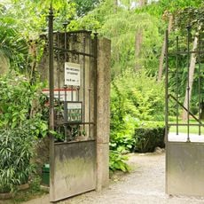
Hofgarten
793 m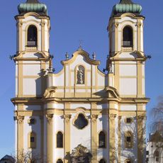
Wiltener Basilika
2.1 km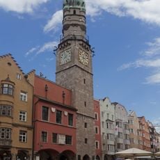
Stadtturm
639 m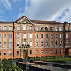
Akademisches Gymnasium Innsbruck
912 m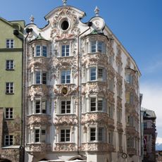
Helblinghaus
613 m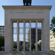
Befreiungsdenkmal
1.1 km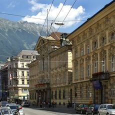
Taxispalais
1 km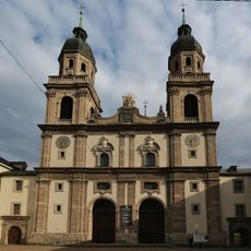
Jesuitenkirche Innsbruck
924 m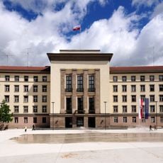
Neues Landhaus
1.1 km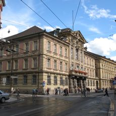
Altes Landhaus
1 kmDiscover hidden gems everywhere you go!
From secret cafés to breathtaking viewpoints, skip the crowded tourist spots and find places that match your style. Our app makes it easy with voice search, smart filtering, route optimization, and insider tips from travelers worldwide. Download now for the complete mobile experience.

A unique approach to discovering new places❞
— Le Figaro
All the places worth exploring❞
— France Info
A tailor-made excursion in just a few clicks❞
— 20 Minutes
